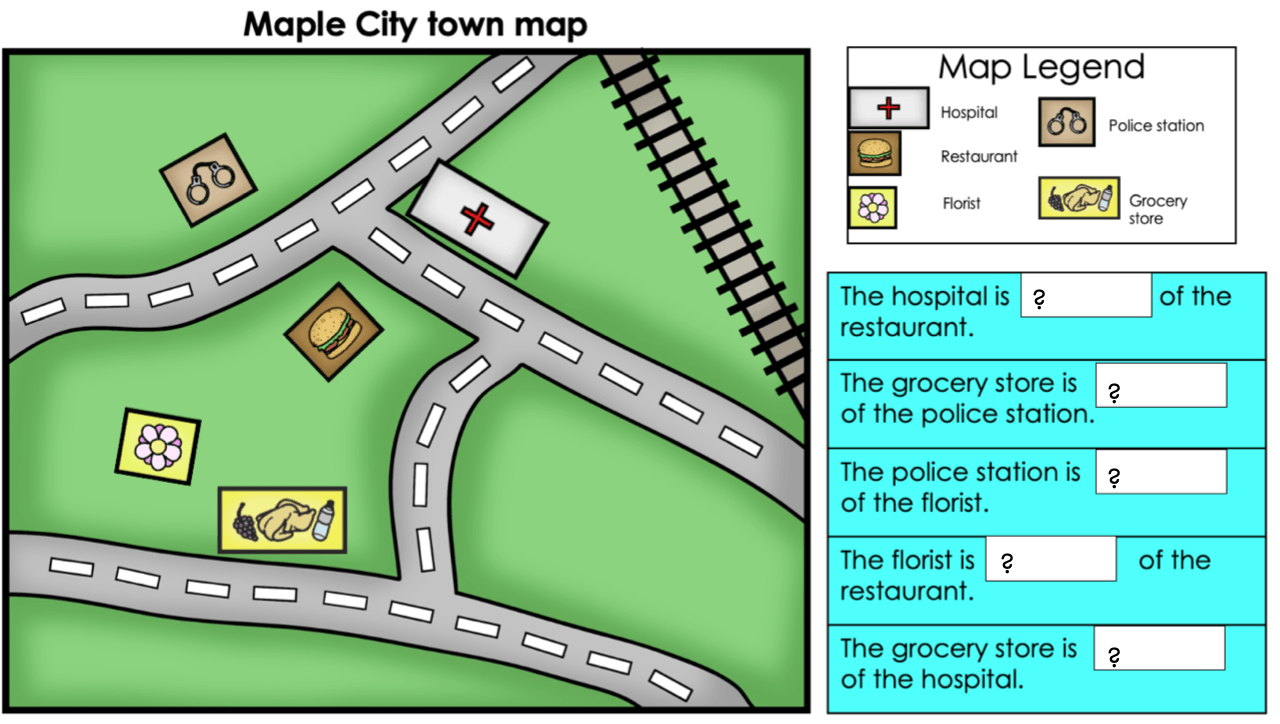
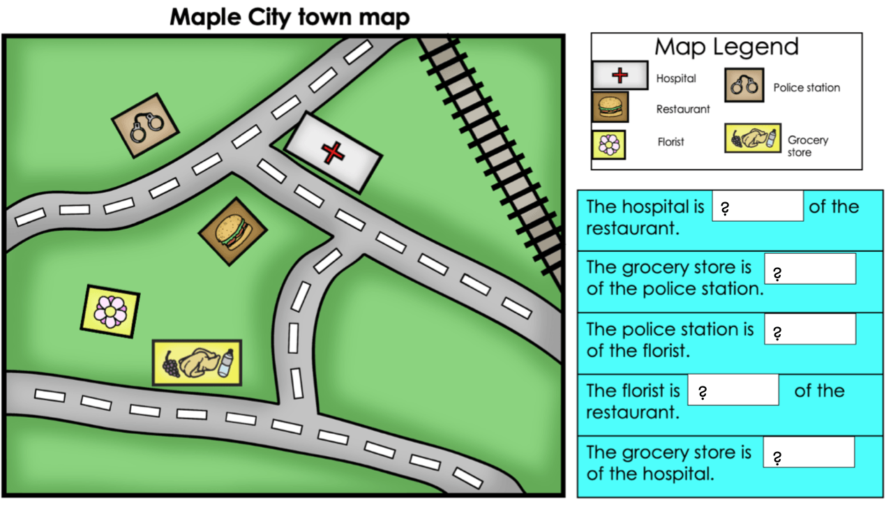
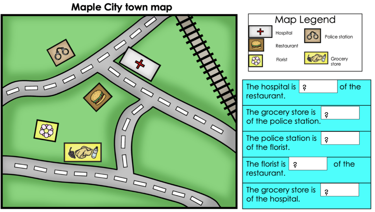
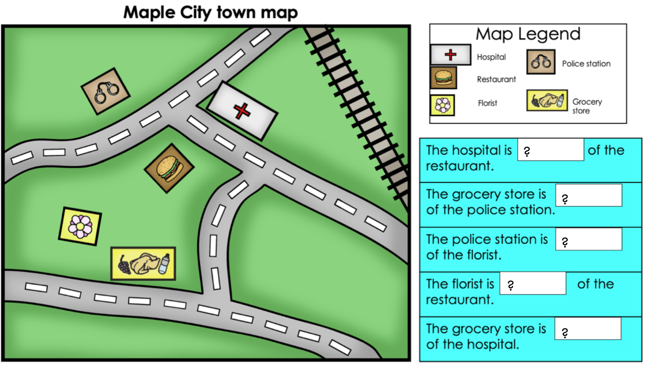
This tool tells you what different symbols on a map mean.
map key
On this continent, you will find the countries of Mexico, Canada, and the United States.
North America
This Ocean surrounds the continent of Antarctica.
the Southern Ocean
What hemisphere is in the North?
Northern Hemisphere
What city in New York State has the biggest population?
New York City
The countries of India, China, Russia, Japan, and Mongolia are found on this continent.
Asia
This is the Ocean you would have to cross to travel from North America to Europe.
the Atlantic Ocean
What hemisphere is in the South?
Southern Hemisphere
What kind of map would you use to look at the population of New York State's capital, Albany?
Population Map
This continent is directly south of Europe
Africa
This is the largest of the five Oceans.
the Pacific Ocean
What hemisphere is in the West?
Western Hemisphere
This region of New York State is all plains. It is very flat and is connected to New York City.
Long Island
What type of map shows the geography of an area. It usually shows landforms such as mountains, rivers, and lakes.
Physical map
This continent is the smallest.
Australia
The Ocean that is the farthest North.
the Arctic Ocean
What hemisphere is in the East?
Eastern Hemisphere
Why do people typically settle near water?
Water is needed for survival. It is also a way to transport things by ship and boat.
This continent is the farthest south, and it is the only continent with no permanent human population.
Antarctica
You would cross this Ocean if you were going from Madagascar (A country in Africa) to India (A country in Asia).
the Indian Ocean
What is the name of the human-made canal that goes through New York State?
Erie Canal
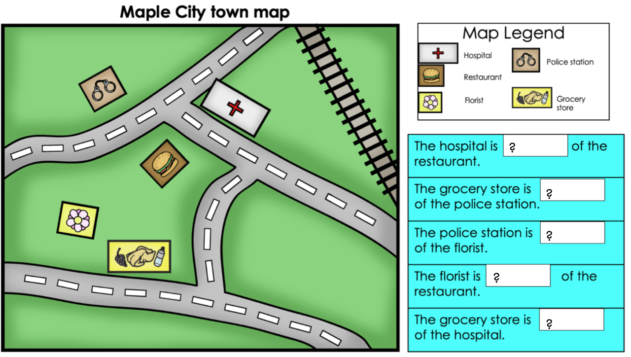
These are the horizontal lines on a map that measure degrees North and South of the Equator.
lines of latitude.
This continent is South of North America
South America
This ocean touches New York City
Atlantic Ocean
Why was the Erie Canal and the Hudson River important?
To ship and trade goods across the state.
To find relative location, what are the key words in a question for the original location?
"of the _____________"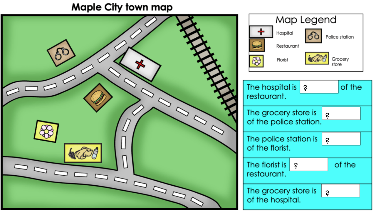
Name and point in all the cardinal directions.

These are the only two continents that are on the same land mass.
Asia and Europe
Name and point in all the intermediate directions
![]()
Name one of the mountain ranges in New York State
Catskill Mountains or Adriondack Mountains