Landforms
Regions
Continents & Oceans
Map Skills
Bodies of Water
100
A large landmass that rises above the surrounding land. The highest landform.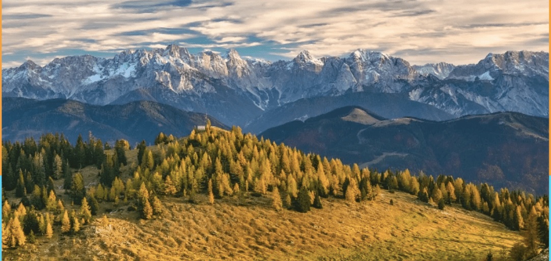
Mountain
100
This is the region we live in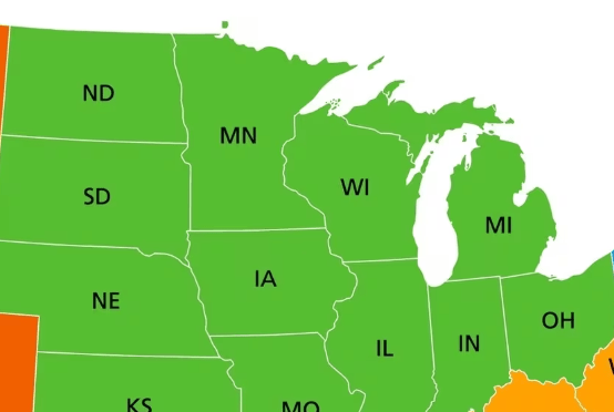
Midwest
100
This is the largest ocean
Pacific
100
This shows direction on a map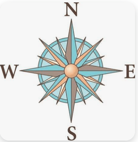
Compass Rose
100
Water that flows over the edge of a cliff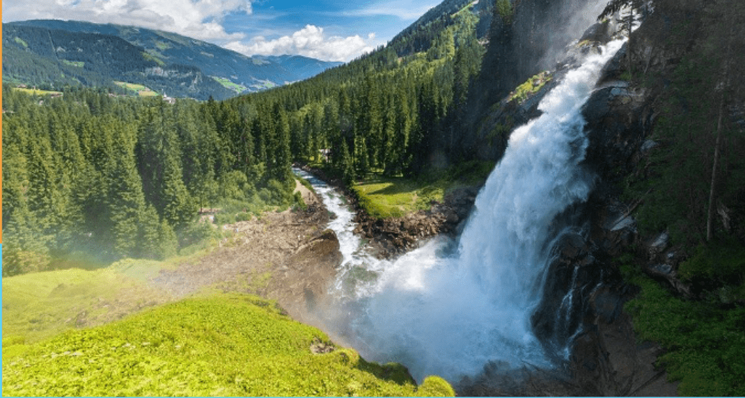
Waterfall
200
An area of land with water on three sides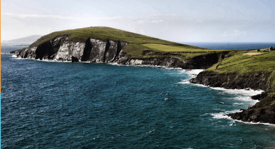
Peninsula
200
What is this region?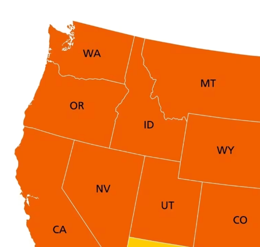
West
200
These two oceans border the US
Pacific & Atlantic
200
This tells the reader what the symbols on a map mean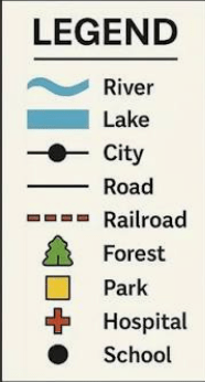
Map Key
200
A naturally flowing body of water that empties into a lake or ocean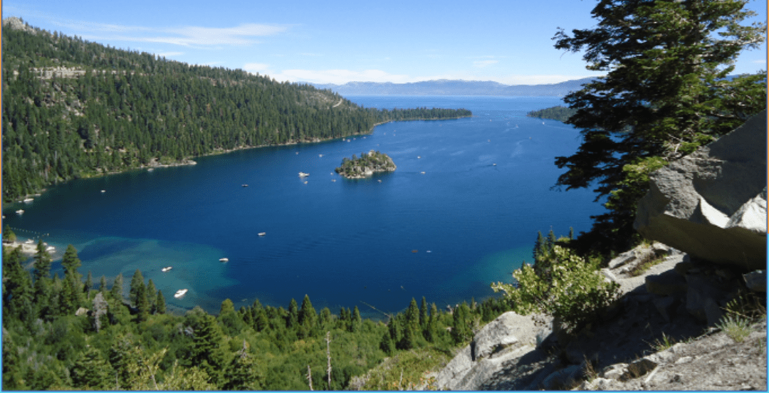
River
300
A deep narrow valley with steep sides.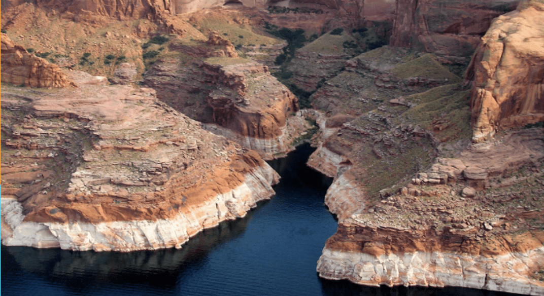
Canyon
300
Which region do people visit Disney World?
Southeast
300
This ocean is in the North Pole
Arctic
300
This shows distance on a map
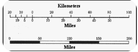
Map Scale
300
A body of water surrounded by land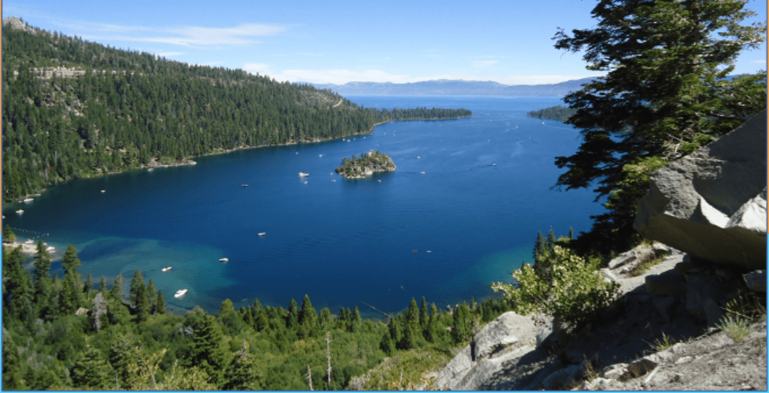
Lake
400
A large elevated land mass with a flat top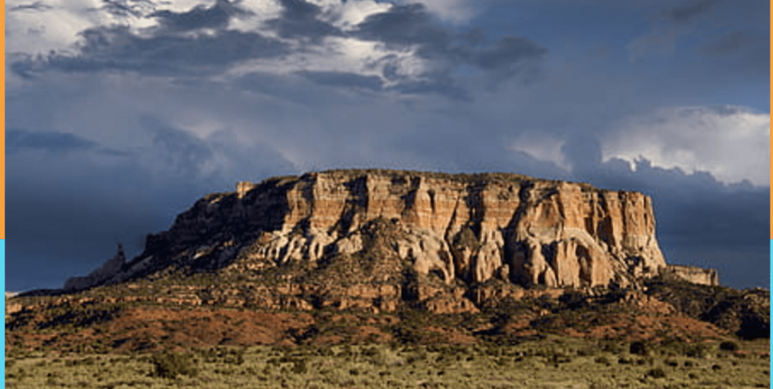
Plateau
400
This region has the hottest dry weather
Southwest
400
This ocean borders Antarctica
Southern Ocean
400
These lines run north to south on a map
Longitude
400
Part of the sea or ocean that is surrounded by land on 3 sides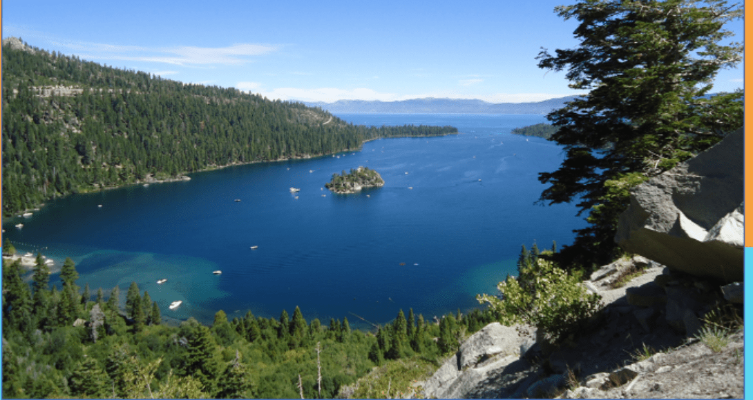
Gulf
500
A narrow piece of land that connects two larger land masses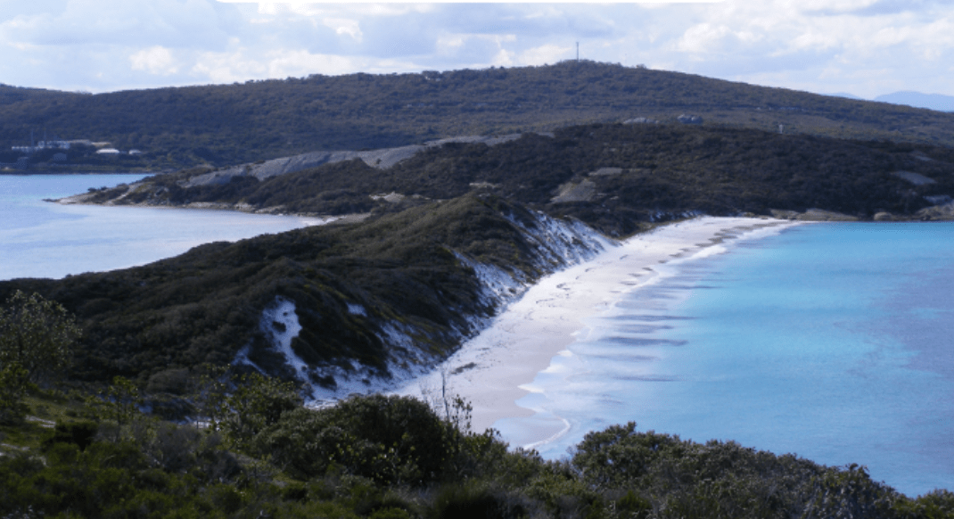
Isthmus
500
Which region is the US capital in?
Northeast
500
This ocean is borders Africa, Asia and Australia
Indian
500
This line divides the Earth into the Northern and Southern Hemishperes
Equator
500
A long narrow body of water found between 2 cliffs.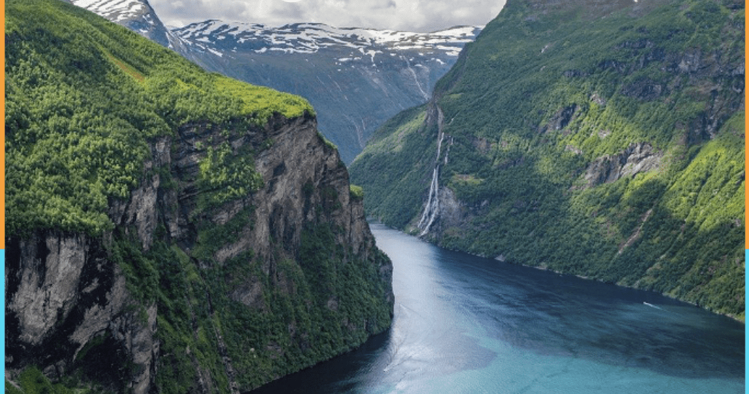
Fjord