Maps
Landforms
Continents
Rivers/Mountains
Misc.
100
This type of map shows the streets and transportation routes in a particular area.
Road Map
100
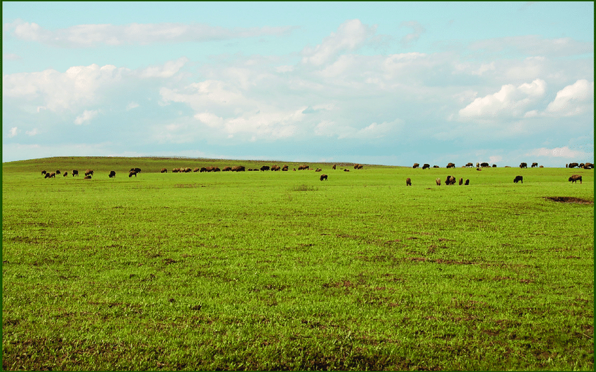
Which landform can be described as a piece of land surrounded completely by water?
Island
100
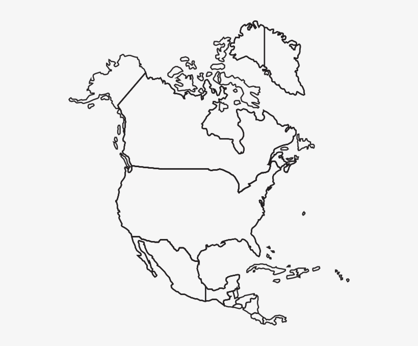
North America
100
This mountain is located in the east and has short rounded peaks.
Appalachian Mountains
100
The Appalachian Mountains and the Rocky Mountains are only located in the United States. (True/False)
False
200
This type of map shows the temperature and precipitation.
Weather Map
200
Which landform can be described as raised areas of land that are rounded and not as high as mountains?
Hills
200
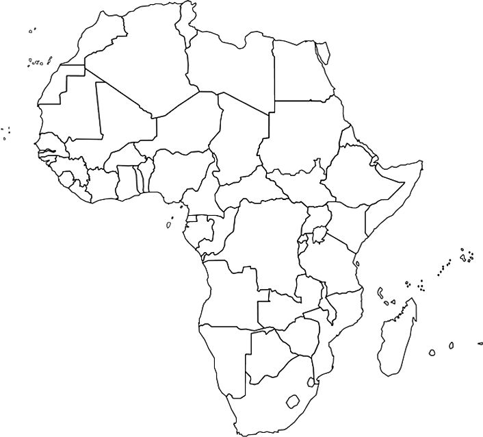
Africa
200
This mountain is located in the west and has very tall rugged peaks.
Rocky Mountains
200
The red line represents which line, latitude or longitude?
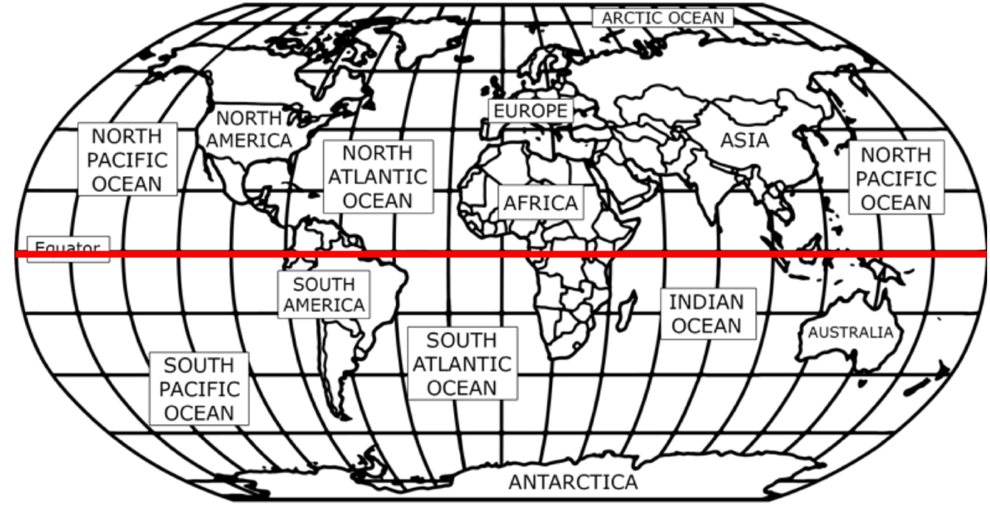
Latitude
300
This type of map shows naturally made landmarks such as rivers, lakes, and mountains.
Physical Map
300
Which landform can be described as flatlands that are mostly treeless?
Plains
300
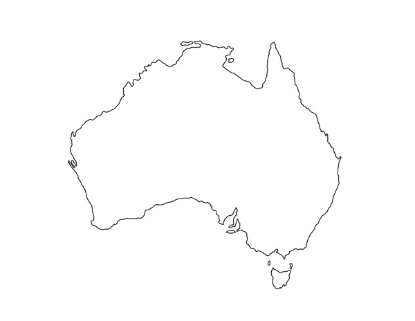
Australia
300
This river is the second-longest river in the United States. It splits the western and eastern parts of the United States.
Mississippi River
300
Daily Double
400
This type of map shows the boundaries of countries, states, and cities.
Political Map
400
Which landform can be described as flat land that sticks out from the surrounding area?
Plateau
400
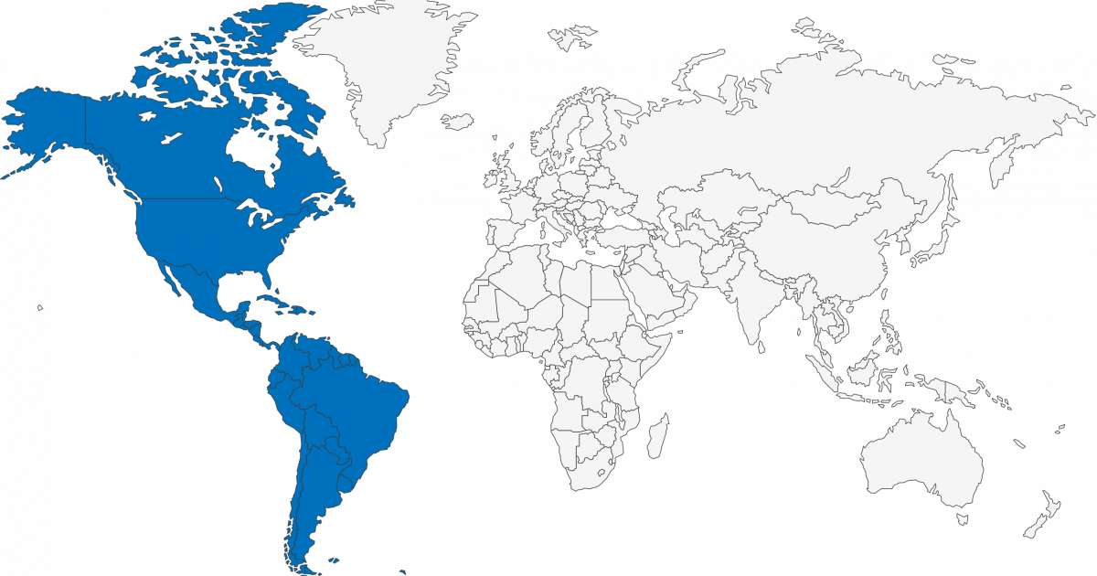
South America
400
This river is located in New York.
Hudson River
400
What continent is number 6?
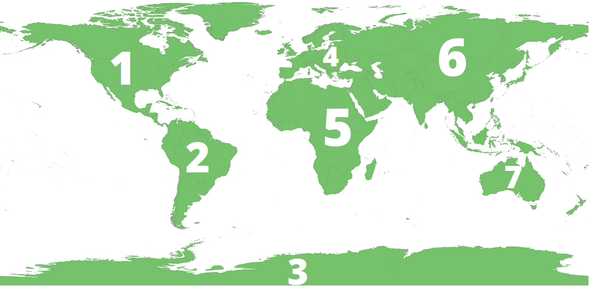
Asia
500
Daily Double
Topography is a detailed description of landforms including the altitude and elevation of mountains. Which map would likely be used for topography?
500
Which landform can be described as a deep pit between cliffs?
Canyon
500
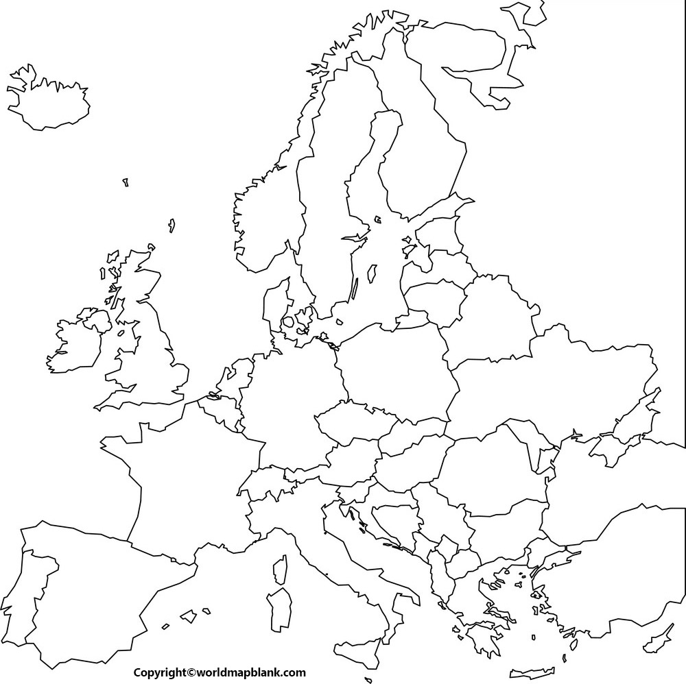
Europe
500
This river is located on the border of Texas and Mexico.
Rio Grande River
500
Daily Double