Map Types & Projections
Collecting Geographic Data
Spatial Concepts
Human-Environment Interaction
Scale & Regions
Spare Change
100
A map showing borders, cities, and rivers mainly for finding locations.
Reference map
100
The geospatial tech that layer's data (roads, population, zoning) to analyze patterns.
Geographic Information Systems (GIS)
100
Location described using coordinates/latitude-longitude.
absolute location
100
Using resources today in a way that doesn’t prevent future use.
Sustainability
100

This thematic map uses the size of symbols that vary in proportion to the intensity of the variable.
Proportional Symbol Map
100
In Finding Nemo, what type of fish is Nemo?
Clownfish
200
A map showing one theme (like rainfall or population density).
Thematic map
200
Collecting geographic information directly at a location by observing, measuring, interviewing, or counting (instead of using satellites or existing databases).
Fieldwork(Field data collection)
200
Location described in relation to other places (near, far, 10 minutes away).
relative location
200
The concept dealing with how humans use land for farming, housing, business, etc.
Land use (& natural resources)
200

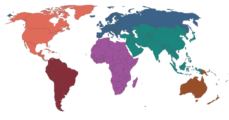
This is an example of a _____ region.
Functional Region
200
What metal is Captain America’s shield made of?
Vibranium
300
A map that uses color/shading to show how a single variable (like population density) changes across areas; often by political boundaries.
Choropleth map
300
A tool that gathers information about Earth’s surface from a distance (often using satellites or aircraft) to create images used to study patterns like vegetation, urban growth, or storms.
Remote sensing
300
The idea that interaction often decreases as distance increases.
distance decay
300
The belief that the environment strongly shapes human behavior and culture.
Environmental determinism
300

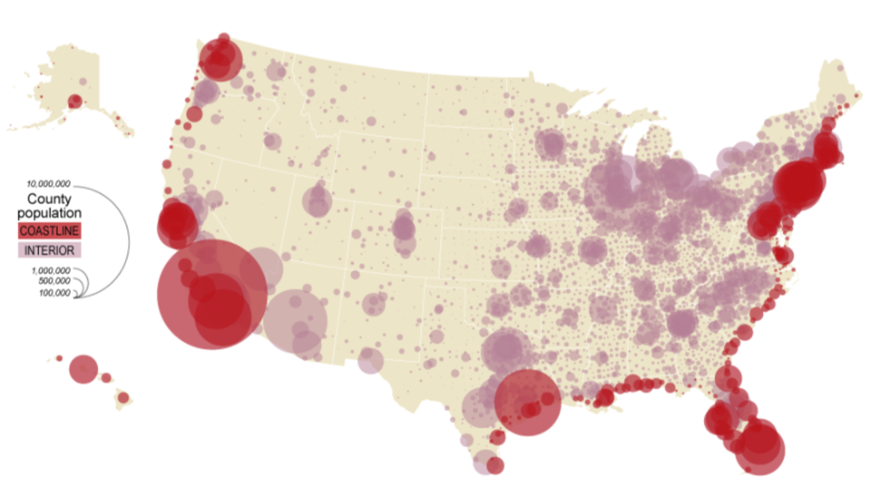
This is an example of a _____ region.
Perceptual (Vernacular) Region
300
In The Office (US), what is the company’s name?
Dunder Mifflin
400
A projection that keeps compass directions (angles) accurate, making it useful for navigation, but it distorts area; especially near the poles.
Mercator projection
400
A geographic method that uses a common set of questions to gather consistent information from many people (in person, online, or by phone) so results can be mapped and compared.
Survey
400
This concept explains how improved tech makes the world feel “smaller” by reducing travel/communication time.
time-space compression
400
The belief that people have choices and can adapt to the environment using technology and culture.
Environmental possibilism
400
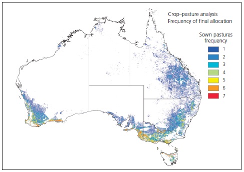
The scale of analysis of this map.
Regional Scale
400
What’s the name of the NFL championship trophy?
The Lombardi Trophy
500
A thematic map uses graduated circles (larger circles for larger values) to show the total population of cities without shading entire regions. What type of map is this?
Proportional symbol map (or graduated symbols map)
500
You need to map neighborhood income and compare it to access to grocery stores. Name the best tool to layer multiple datasets, run spatial analysis, and produce a map showing overlap.
GIS (Geographic Information Systems)
500
Two coffee shops sell the same drink for the same price, but one gets far more customers because it’s right off the highway exit and next to a bus stop. Which concept best explains the advantage gained from that location?
Relative location (situation)
500
A coastal community restores dunes and wetlands, limits building in flood zones, and updates building codes to reduce storm damage while protecting ecosystems for the future. Identify two human/environment concepts shown.
- Sustainability
- Environmental Possibilism
500
The scale of analysis of this map.
National Scale
500
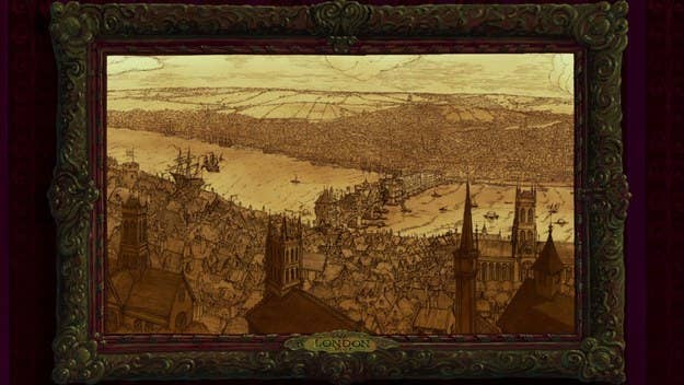
The opening frame of this Disney movie.
Pocahontas