Maps
Globes
Landforms
Famous Places
Geography
100
What kind of map is this?
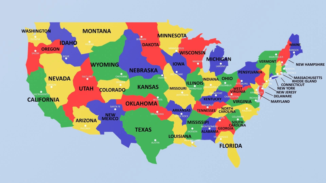
Political map of the USA
100

100
What landform is this?
A mountain or hill with a crater through which lava is projected.

Volcano
100
What is the largest hot desert in the world?
the Sahara
100
Name the 5 oceans of the world
Atlantic, Pacific, Arctic, Southern, Indian
200
What kind of map is this? What does it show?
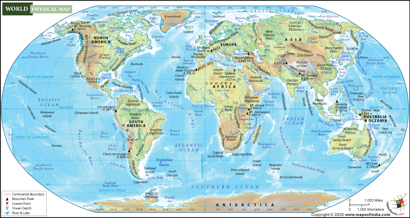
physical map of the world
200
Latitude lines go....
East to West, Horizontal
200
What landform is this?
A low area of land between two hills or mountains. Many have streams flowing through them.

valley
200
Which continent includes the Great Barrier Reef?
Australia
200
Name the 7 continents of the world
North America, South America, Europe, Asia, Africa, Australia, Antarctica
300
What kind of map is this?

population map of India
300
Longitude lines go....
up and down, North and South
300
What landform is this?
A body of land that sticks out into a body of water. It is mostly surrounded by water and connected to a larger landmass on one side.

Peninsula
300
What is the name of this river in Egypt?
:max_bytes(150000):strip_icc()/GettyImages-96869652-f6700d0efa8c4efb8031043af8ccaf8e.jpg)
The Nile River
300
What is this? What do the letters stand for?
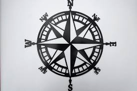
compass rose
North, Northeast, East, Southeast, South, Southwest, West, Northwest
400
What kind of map is this?

a physical map of a park
400
What are the 4 hemispheres? 
Northern, Southern, Eastern, Western
400
What landform is this?
Hint: A narrow strip of land with water on two sides, connecting two bodies of land.

Isthmus
400
Niagara Falls is between which 2 countries?
USA and Canada
400
What continent is this?

Europe
500
What type of map is this?

climate map
500
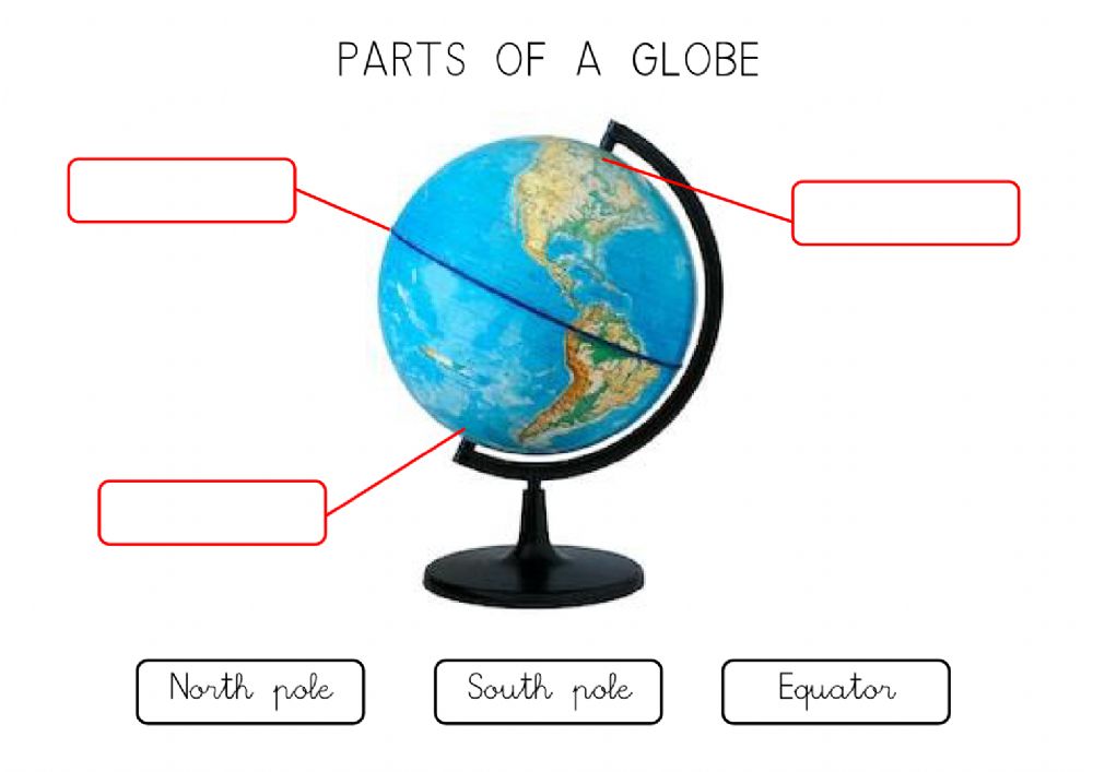
What is the vertical line going down the center of the globe?
Prime meridian
500
What landform is this?

Canyon
500
What does the red line show?

The Strait of Magellan
500
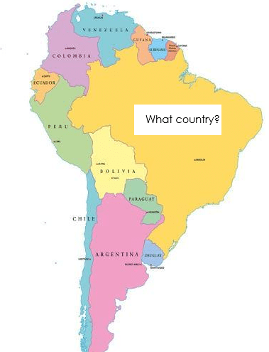
Brazil