Interpreting Maps
Regions
Geospatial Data
Potpourri
100
The map shown below could be used to find and describe Raleigh's _________ location.
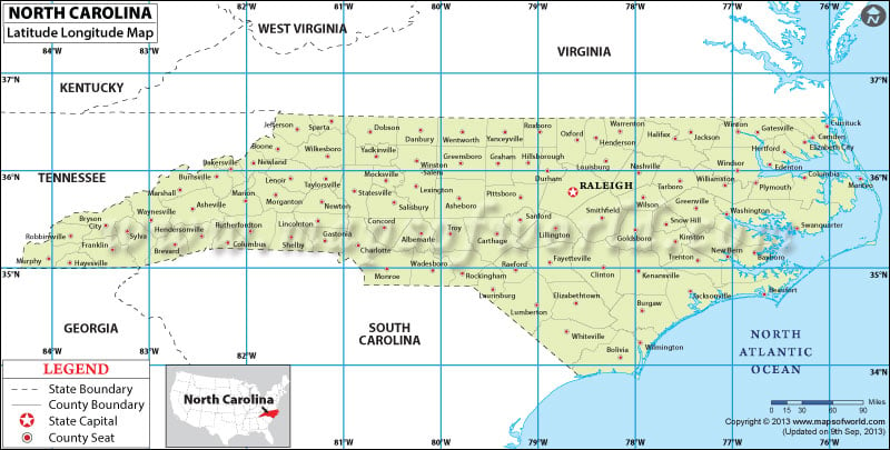
absolute
100
Radio stations can serve as nodes in which type of region?
A) Formal regions
B) Functional regions
C) Perceptual regions
Functional regions
100
What does GIS stand for?
Geographic Information Services (GIS)
100
Describe the relative distance between here and Harris Teeter.
Accurate examples include:
-About a two minute drive
-About a half-hour walk
200
What is the scale of the map shown below?
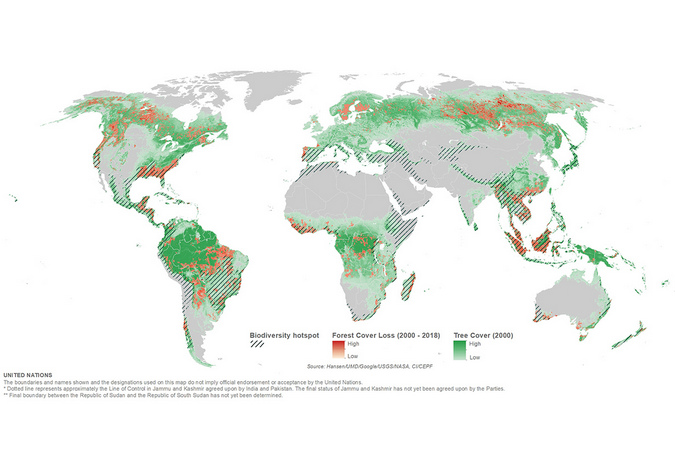
Global
200
Which term is used to describe the formal region depicted below?
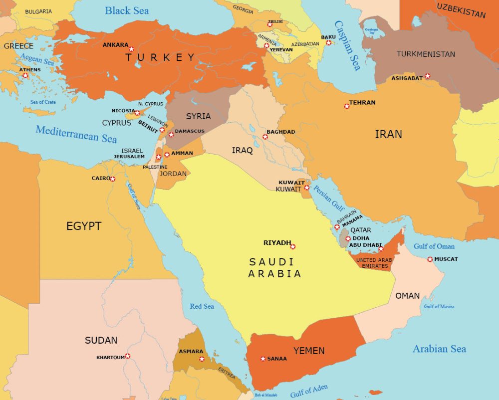
The Middle East
200
Name one way that geospatial data can be collected.
Examples include: census/surveys, sateillite imagery, field observations
200
All map projections __________ the shape and/or size of places to some degree.
distort
300
What type of map is shown below?
Reference map
300
Which types of regions are demonstrated in the map below?
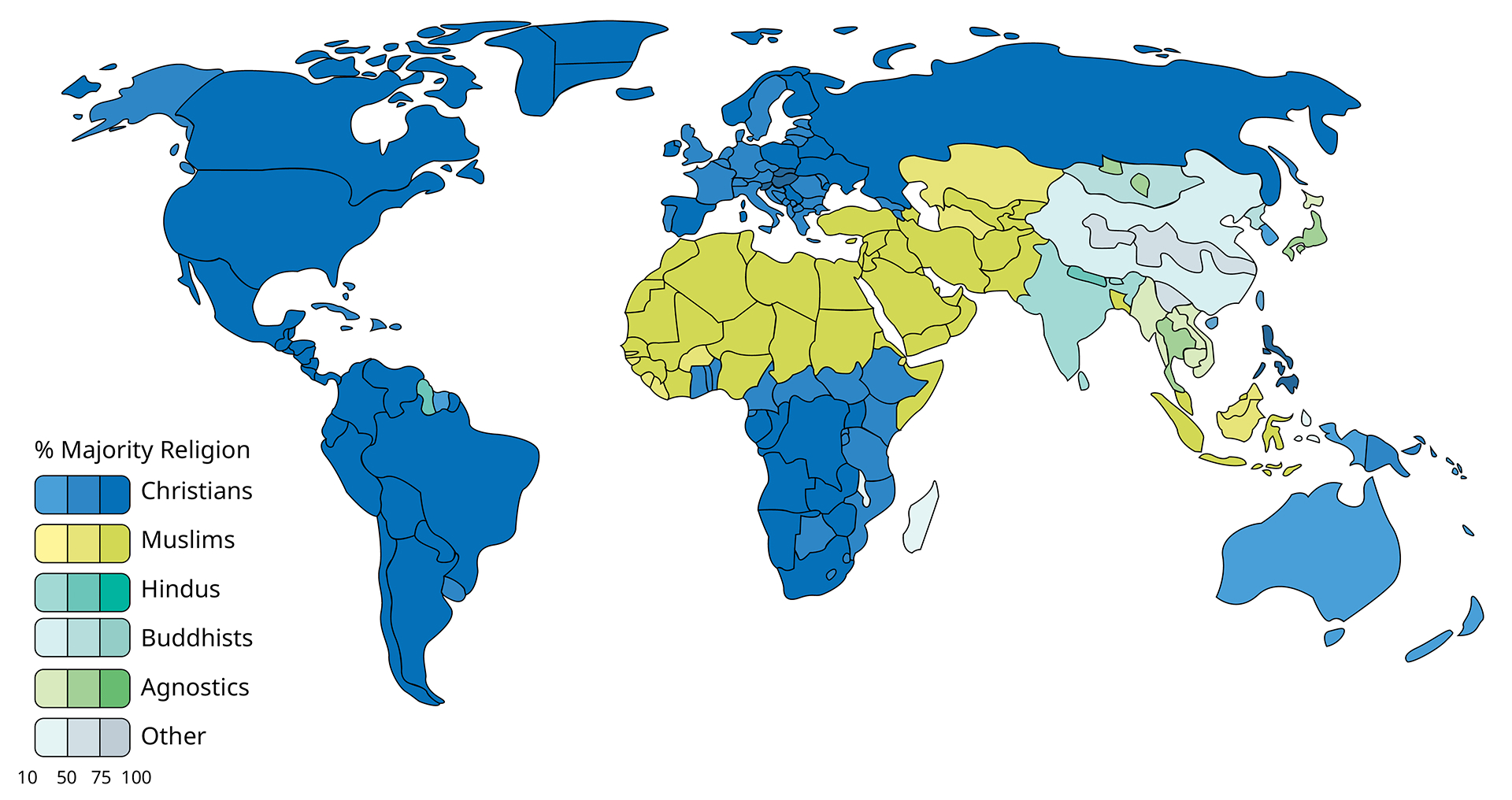
Formal regions
300
Which region shows a cluster of Hindus?
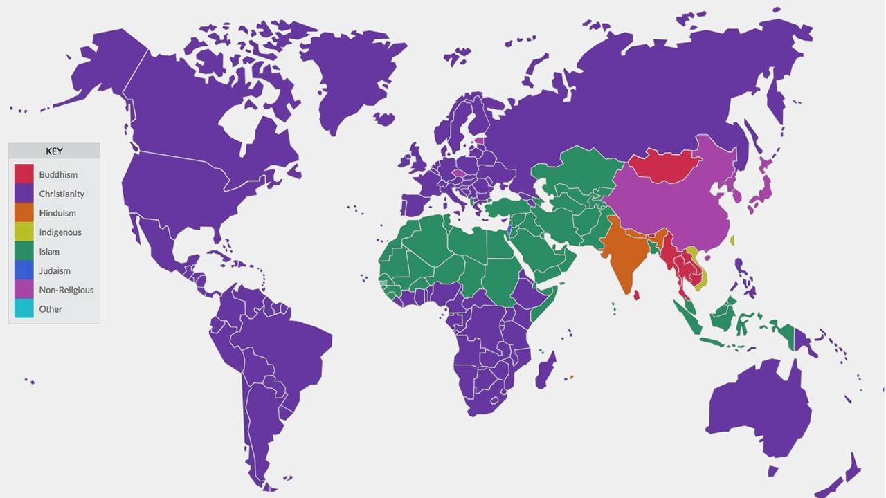
South Asia
300
Ms. Brown's best friend, Mary, lives in Minnesota, but it doesn't feel like she is hundreds of miles away due to this phenomenon.
Time-space compression
400
What is the scale of analysis for a map showing literacy rates for countries across the world?
National
400
Roughly draw the map of NC below and identify at least two perceptual regions.
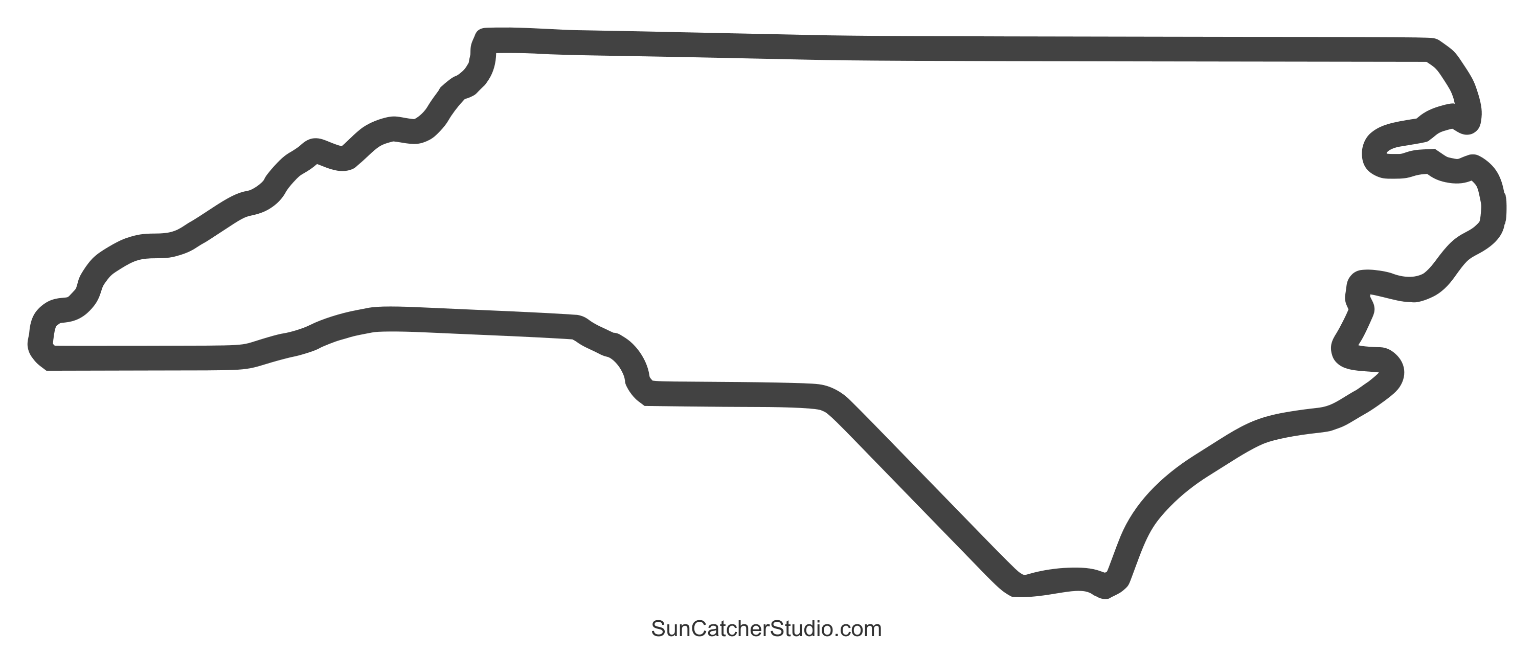
Answers will vary
400
Which type of survey was likely used to create the population density map shown below?

census
400
How are the concepts of natural resources and sustainability related?
Accurate responses include, "Sustainability is the practice of minimizing the use of natural resources and being a responsible consumer or producer of those resources".