(Last Question)
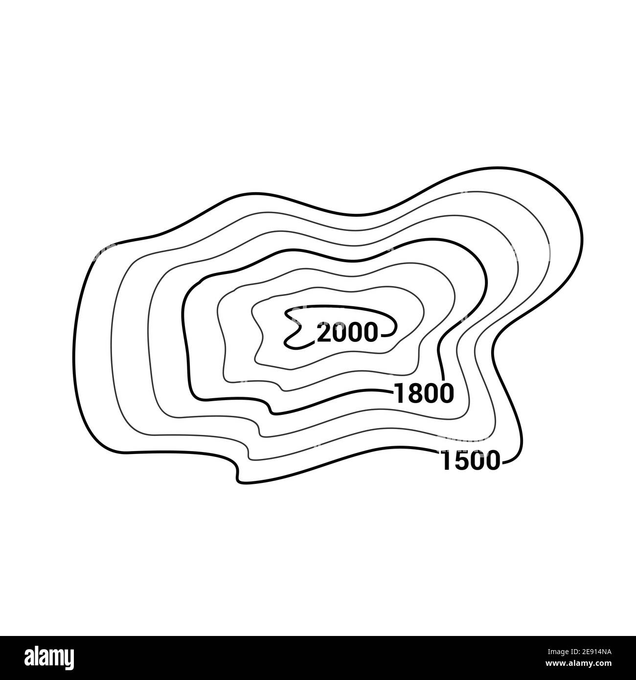
Are lines that are drawn on a field map to connect all of the points on that map that have the same value.
What is an isoline?
The name of isolines used for a topographic map.
The gradient formula.
What is change in field value/change in distance?
The side view of a geologic feature.
What is a profile?
Something that isolines should never do.
What is never cross each other?

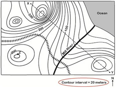
The contour interval of this map.
What is 100m?
You use this to fine the distance between two points on a map.
What is the scale?
These marks indicate on a profile.
What is a depression?
The slope of isolines spread far apart.
What is gentle or low slope?
 The highest possible elevation of Black Bear Camp can be.
What is 599m?
 If X and Y are 2km apart, what is the gradient?
Include units. The contour lines are in meters.
40m/km
The two main uses of scrap paper in this topic are for.
What are profiles and scales of the map?
??????
Isoline Practice
 The compass direction where the gradient is the greatest.
Where is the NorthEast?
The way the Mill River is flowing.
What is NorthEast?
A contour map shows two locations, X and Y, 5 kilometers apart. The elevation at location X is 800 meters and the elevation at location Y is 600 meters. What is the gradient between the two locations?
Include units!
40 m/km
Roughly draw the profile from point A to B.

The purpose of an isoline is to separate what?
The higher values from the lower values.

A person walking across X to Y will be traveling...
Uphill, downhill, uphill, downhill
If A and B are 8km apart, what is the gradient?
Include units. The contours are in meters.
37.5m/km
When drawing mountain tops on a profile it is important to...
(you can either draw it or write a statement)
Draw a smooth line OR not cross over the next line.
