Tools of the Geographer
Physical Features
Political Geography
Environmental Geography
Population & Migration
Cultural Geography
100
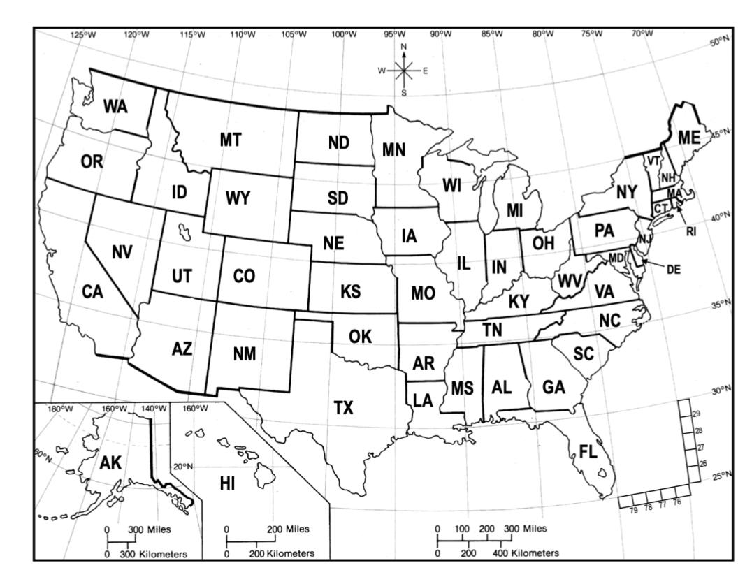
This state is located at
47° north latitude
120° west longitude
What is Washington?
100
Earth's physical features are formed primarily by these two processes.
What are the movement of the tectonic plates and erosion caused by wind and water?
100
This is an imaginary line that separates two political entities.
What is a boundary?
100
This term is used to describe a country with a less advanced economy.
What is a developing country?
100
This is something that encourages people to leave a place behind.
What is a push factor?
100
This tile-based game played with rectangular tiles, each divided into two sides is very popular in the United states and Latin America.
What is dominoes?
200
This represents the relationship between distances on a map and corresponding distances on the Earth's surface.
What is a map scale?
200
This is a broad area of land that is relatively flat.
What is a plain?
200
This is the movement of humans from one place to another.
What is migration?
200
The clearing of trees from a forest to make way for other land uses, like agriculture, grazing, or urbanization.
What is deforestation?
200
They are fleeing their home country due
to extreme circumstances.
What are refugees?
200
Thought to have originated in France, this card game has players compete against the dealer, aiming to get a hand with a total value closer to 21 than the dealer's hand, without exceeding 21.
What is Black Jack?
300
This imaginary line is located at 0° latitude.
What is the equator?
300
This is a group of islands, sometimes called an island chain.
What is an archipelago?
300
This is a policy of remaining apart from the affairs or interests of other countries, especially their political affairs.
What is isolationism?
300
A region with a wide range of plant and animal species living in it is said to have this.
What is biodiversity?
300
An identification provided by your country that allows you to travel to a foreign country.
What is a passport?
300
Common foods in this country include sushi and mochi.
What is Japan?
400
This map component tells you which direction is north.
What is the compass rose?
400
This is a region where a river empties its contents, usually into a larger body of water, depositing loose soil and sediment.
What is a delta?
400
This is when one country rules other places as colonies, with the ruling country controlling trade with its colonies for its own benefit.
What is colonialism?
400
The exchange of goods and services without much government control is referred to as this.
What is an informal economy (market)?
400
This is the process of spreading cultural features from one place to another by migration, communication, and trade.
What is cultural diffusion?
400
Popular foods in this country include tamales and horchata.
What is Mexico?
500
- Map Scale: 1 inch = 10 miles
- The distance between two cities on a map is 4 inches, so this is the actual distance between the cities in miles.
What is 40 miles?
500
This is a narrow waterway that connects two larger bodies of water.
What is a strait?
500
This term means possessing supreme or independent political power.
What is sovereignty?
500
A measure of a country's overall progress in three key areas: health (life expectancy), education (years of schooling), and Per Capita GDP.
What is the HDI (Human Development Index)?
500
A graph that shows the age and gender distribution of a population.
What is a population pyramid?
500
Ddakji and Gonggi are games played in this country.
What is South Korea?