This tool used in modern cartography allows for the layering of multiple types of geographic data
GIS (Geographic Information Systems)
The study of the distribution of populations across Earth's surface is called
Demography
The location where a river begins is called its
Source
The country highlighted in green is

South Africa
The country highlighted in green is

Mexico
This feature of a map helps readers understand the relationship between distances of the map, and actual distances
Scale Bar

The movement of people from rural to urban areas is called
Urbanization
Where a river enters a larger body of water such as a lake or an ocean
Mouth
The action or process of settling among and establishing control over the indigenous people of an area
Colonization
The seven continents are
Asia, Australia, Africa, Europe, North America, South America, Antarctica
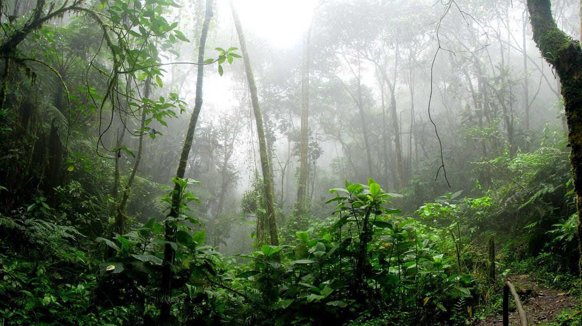
This natural region of the world is typically hot and wet year-round
Tropical Rainforest

Push Factor
An area of land that drains its water into a specific body of water is a
Watershed
The primary motivation for European colonization of Africa was
Natural resources and economic gain
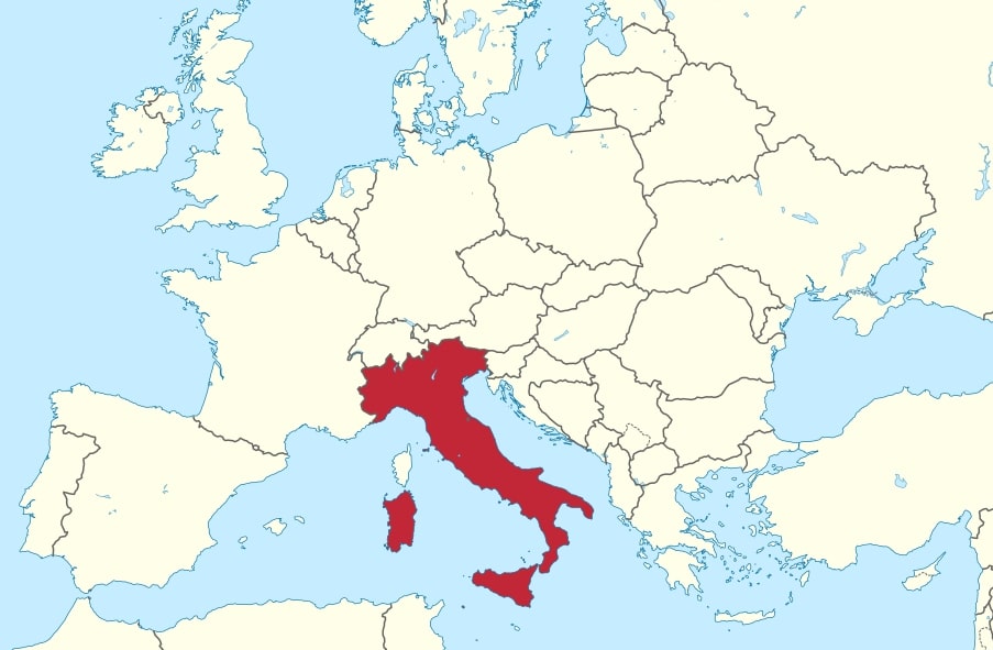
This country in Europe is shaped like a high-heeled boot

Italy
This continent sits at 15N, 30E
Africa
This type of natural region typically has the lowest population density
Desert Regions

A wetland that forms as a river empties its water and sediment into another body of water
Delta
The state highlighted in red is

North Carolina

The Mercator projection of the globe shows more distortion the further one travels from
The Equator
What factors influence population growth?
Birth rates, death rates, migration rates
A stream that flows into a larger river or body of water
Tributary
A stateless nation is a group of people with a shared culture and territory who do not have their own government. One example of a stateless nation are
The Kurds
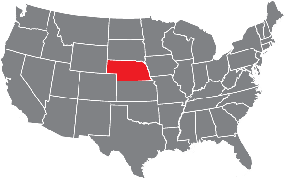
The state highlighted in red is

Nebraska
(Nebraska-North)

