Five Themes of Geography
Time Zones
Maps
American Regions
Landforms
Waterways
100
Defines where a place is. Can be either absolute or relative.
What is location?
100
Time zone furthest East in the United States - home to New York and Florida.
What is EST?
100
The part of the map that tells you where North is.
What is the compass rose?
100
This region is home to major cities, like New York City and Boston, alongside plenty of industry.
What is the Northeast?
100
A low, but not deep area of land between hills or mountains.
What is a valley?
100
A moving water way that flows into another body of water.
What is a river?
200
This term refers to how humans modify and adapt to the environment.
What is interaction?
200
Home to California and Washington.
What is PST? (Pacific)
200
The part of the map that tells you what the map is featuring.
What is the title?
200
Known as "American's Breadbasket," this region is home to Ohio, Illinois, Kansas, and plenty of plains and cornfields.
What is the midwest?
200
Florida is an example of this type of landform.
What is a peninsula?
200
A large body of water surrounded by land on three sides and connected to an ocean.
What is a gulf?
300
How people, goods, and ideas travel from one place to another.
What is movement?
300
Home to Texas and Minnesota.
What is CST? (Central)
300
This type of map shows the natural characteristics of a region/place.
What is a physical map?
300
With hot, dry deserts, this region is home to Texas, Arizona, and New Mexico.
What is the Southwest?
300
A particularly dry area with little rainfall, that can get very hot or very cold.
What is a desert?
300
Lake Erie is part of this system of water bodies.
What are the Great Lakes?
400
These characteristics define the natural traits of an area when describing place.
What are physical characteristics?
400
Contains the Hawaiian Islands.
What is HST? (Hawaiian)
400
This part of the map tells you how far an area on the map represents in real life.
What is the scale?
400
Home to beaches, warm climates, and DIDNEYWORL.
What is the Southeast?
400
A highly elevated area of flat land.
What is a plateau?
400
A man-made channel of water, often designed to make travel by boat easier.
What is a canal?
500
These types of regions have agreed-upon, official boundaries.
What are formal regions?
500
Contains Colorado and Arizona.
What is MST? (Mountain)
500
This type of map is designed to show off a special type of data.
What is a thematic/special purpose map?
500
You'll find Silicon Valley and plenty of mountains in this region of the U.S.
What is the West?
500
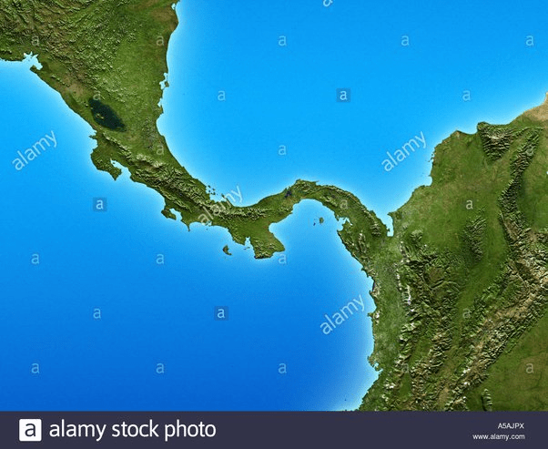
This is an example of one, connecting two bigger pieces of land.
What is an isthmus?
500
A large body of water, completely surrounded by land.
What is a lake?