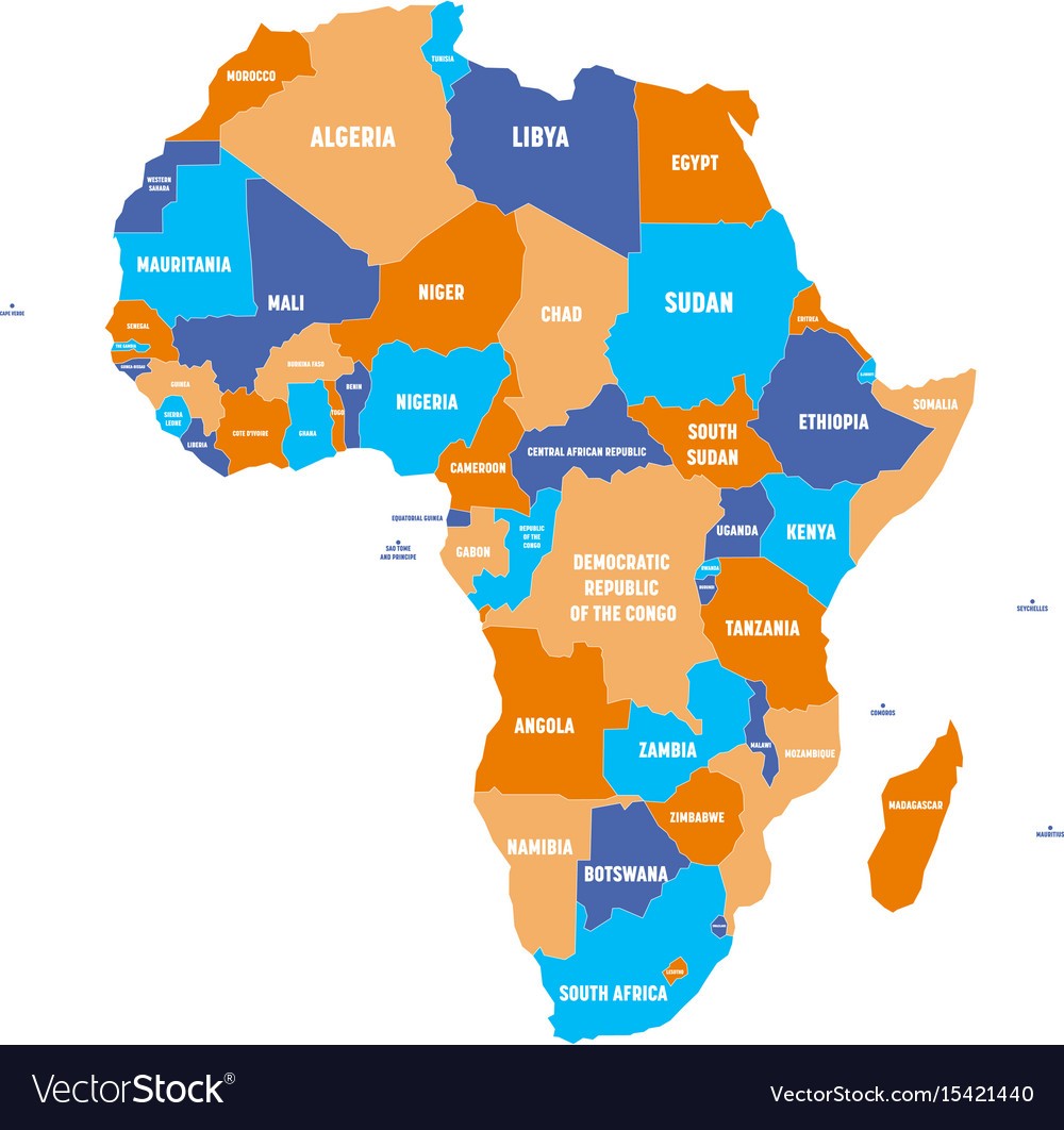
What kind of map is this?
political map
What element of a map shows symbols, colors or lines to represent important places or landmarks on a map?
Legend
How many states are in the US?
50
What is Ohio's state tree?
Buckeye
What are the five themes of geography?
movement, place, location, region, human-environment interaction
What kind of map would you want to use if you want to find certain landforms in a given area?
physical map
What direction do lines of latitude and longitude run?
Latitude = east to west
Longitude = north to south
What two oceans border the United States to the east and west?
Atlantic and Pacific ocean
Ohio was the _____ state.
17th
What are the two types of location?
relative and absolute
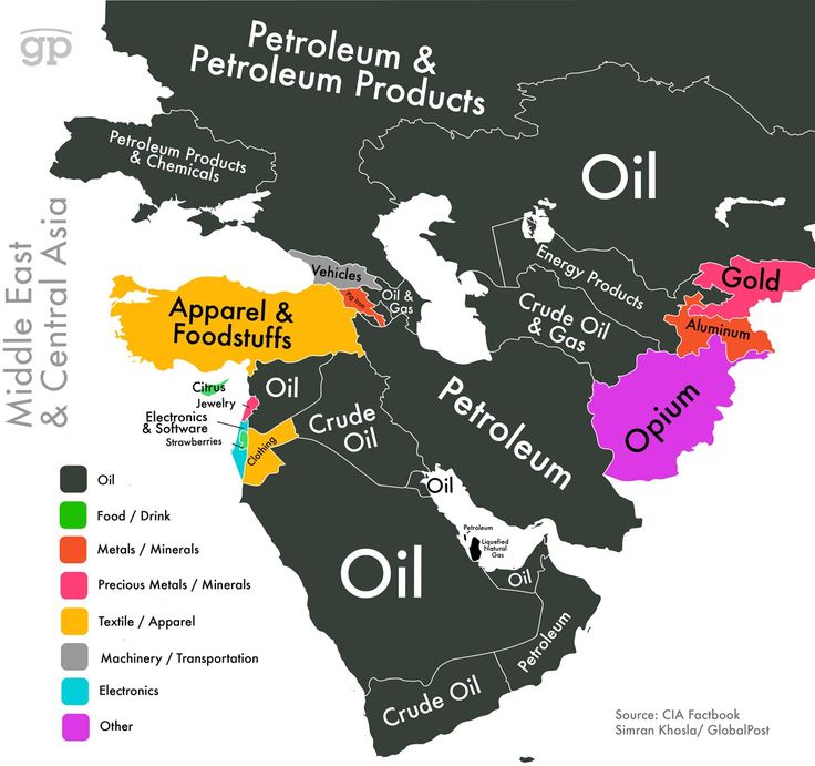
What kind of map is this?
resource map
What is the imaginary line that runs through the center of the Earth and cuts the Earth into the Northern and Southern hemispheres?
equator
How many regions are in the US? What are the regions called?
5 - Midwest, Northwest, Southwest, Northeast, Southeast
How many counties are in Ohio?
88
What is a formal region?
a region with official borders
What kind of map would you use to see the weather patterns of a given region?
climate map
What part of the map shows you the directions?
compass rose
What mountain range is on the west coast?
The Rocky Mountains
What year was Ohio made a state?
1803
The theme of place in geography describes both ___ and ___ characteristics of a location.
human and physical
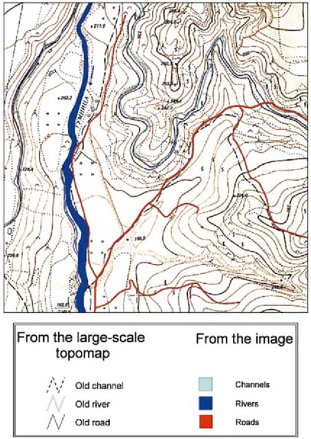
What kind of map is this?
topographical
What is another name for lines of latitude?
parallels
Get on the 50 state capitals map, and correctly place all 50 state capitals.
:)
What was the first capital of Ohio?
Chillicothe
What is an example of human-environment interaction?
varies


