Various
Country
Geography
Town
The Planet
100
What does GIS Stand for?
Geographic Information Systems
100
What colours are on Canada's flag?
Red and White!
100
What is the Capital of Florida
Tallahassee
100
What are the two basic types of data?
Vector & Raster
100
test
True
200
What are the two main outcomes you can create from utilizing GIS?
Maps and Applications
200
What colour is the largest country?
Yellow (Brazil)
200
This specifies a location’s distance north or south of the equator.
Latitude
200
Vector Data can be displayed as ___ , ____, or ___.
Points, Lines, or Polygons
200
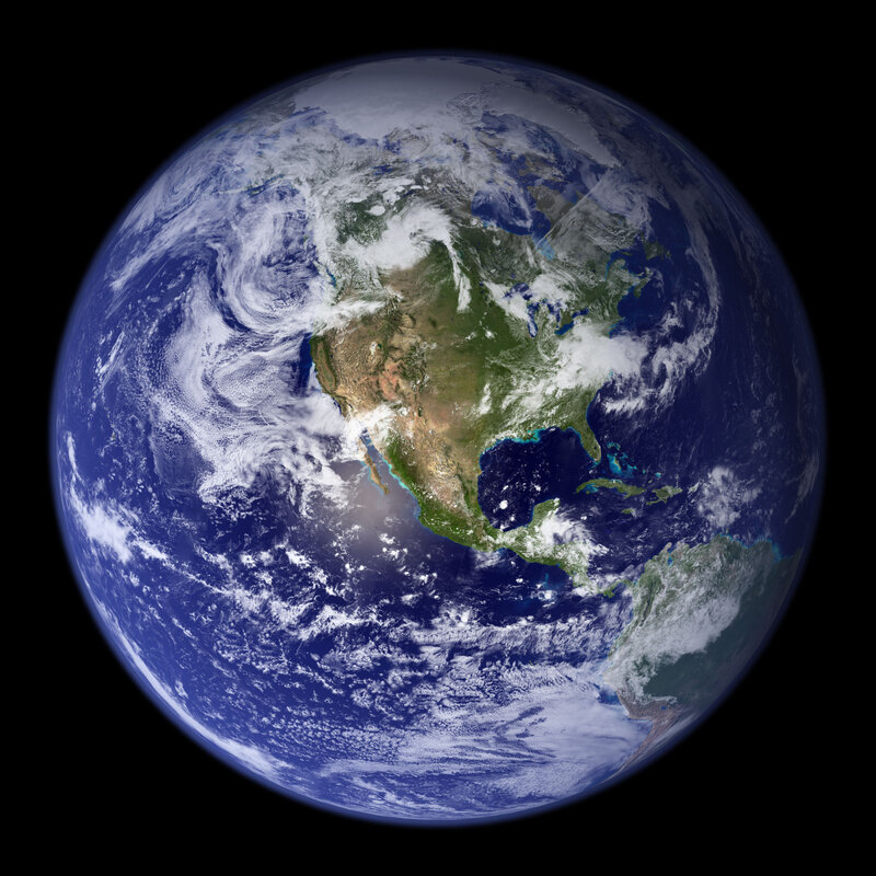 When you look at earth from space, what is all that white stuff?
Clouds (and some snow too)
300
GIS is the "Science of ______"
"Science of Where"
300
We talked about many ways to utilize GIS. Name 2 of the 6 ways you can apply GIS
1. Identify Problems
2. Monitor Change
3. Manage & Respond to Events
4. Perform Forcasting
5. Set Priorities
6. Understand Trends
300
Which U.S. state is the Grand Canyon located in?
Arizona
300
Imagery is an example of what data type?
Raster
300
Why are some parts green and some parts brown?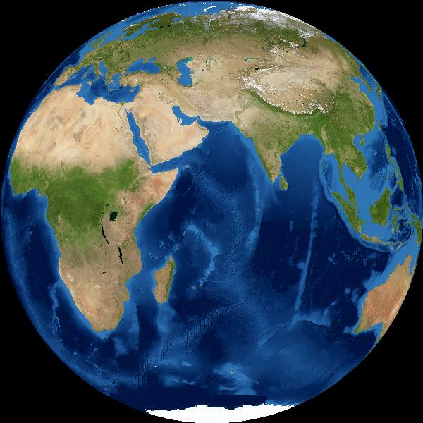
Vegetation (or forests and jungle) is green
Bare soil (or sand) is brown
400
We discussed 6 components that make up a GIS. Name three.
People, Data, Metadata, Software, Hardware, and Processes.
400
In the GIS Showcase the “Business Forward” case is an example of a:
Story Map Application
400
What is the imaginary line called that connects the north and south pole?
Prime Meridian
400
Landcover would be an example of what type of vector data?
Polygon
400
The paper water as-built was an example of how we took a paper map to GIS. What City was this from?
City of Deland
500
In the Video, they mentioned industries that benefit from location data and analysis. Name three.
Every Industry can benefit from a GIS.
Education, Transportation, Insurance, Electric and Gas Utilities, Real Estate, Natural Resources, Petroleum, Telecommunications, Water, Retail, Government, Planning, Manufacturing, Sustainability, Public Safety and Health.
500
T or F: the address for the VHB building is an example of a "use for GIS".
False: the address is an attribute to the location of the building
500
What is the approximate size of Earth's equator?
a. 50,000 km
b. 20,000 km
c. 40,000 km
c. 40,000 km
500
Features in a GIS have relational data stored in fields within the ____.
Attribute Table
500
VHB can use GIS to collect information by using what devices?
We collect information across all platforms: smartphones, tablets, and computers.