Map Elements
5 Themes of Geo.
Earth's Lines
Continent Trivia
Kitchen Sink
Historical Thinking
100
The Study of the Earth's surface is known as....
Geography
100
Define Place
the physical and human characteristics. What is it like there?
100
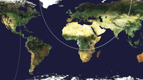
This imaginary line splits the Earth in to Northern and Southern hemispheres.
The Equator.

100
Russian, German, and French are the most spoken languages spoken in this continent.
Europe

100
You have 2 minutes to SILENTLY arrange your team in order from oldest to youngest (month, day, and year!)
Answers vary
100
Name 2 careers that use history.
Archaeology
Anthropology
Historians
200
The title of a map tells us...

The title of a map tells us the subject of the map.
(What is the map telling us about?)
200
Define location.
Position on the Earth’s surface
200
This imaginary line splits the Earth into Eastern and Western hemispheres.
The Prime Meridian.
200
This continent is home to a famous river that discharges more water than any other river in the World! It also has freshwater dolphins!
South America
200
This colorful reptile is Rapunzel's sidekick in Disney's Tangled.

Pascal
200
This phrase is used to explain a person's unique perspective about something.
Point of View
300
This map element tells us what symbols on the map mean.
Key/Legend 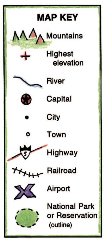
300
Define Human/Environment Interactions
the relationship between humans and their environment.
300
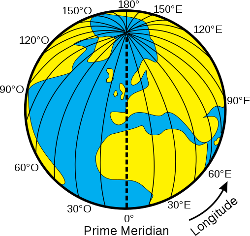
These lines measure distance North and South of the Equator. They run East and West.
Latitude Lines

300
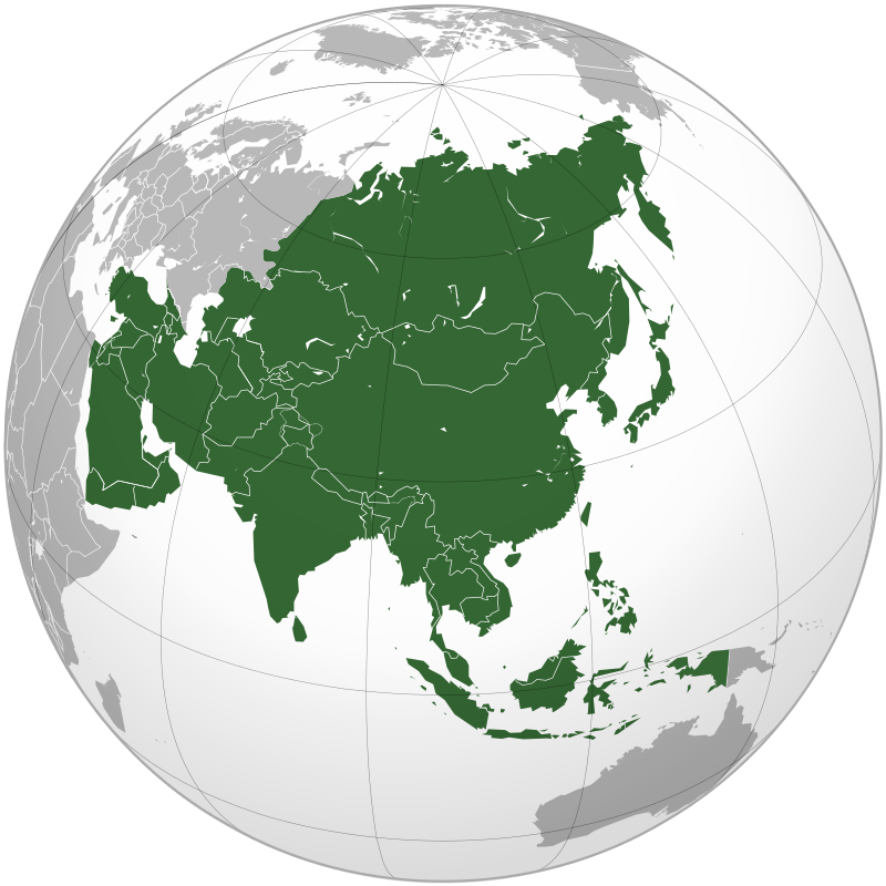
This continent is home to more than 4 billion people and has two of the top 3 richest countries in the World.
Asia
2nd richest country in 2022: Singapore
3rd richest country in 2022: Qatar
300
You have 2 minutes to find 5 things your entire team has in common!
.
300
These are sources that were created during the time period being investigated.
Primary Sources
400
This map element helps us understand the cardinal and ordinal directions.

Compass
400
This theme describes how people, goods, information and culture got to a particular place.
Movement
400
These lines measure distance East and West of the Prime Meridian. They run North and South.
Longitude Lines
400
This continent is the driest, windiest, and highest in elevation.
Antarctica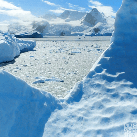
400
The first night of Thursday Night Football in the 23-24 NFL season was played by these two teams.
Kansas City Chiefs
Detroit Lions
400
These sources are created after a historical event and are usually used for teaching. Examples are encyclopedias and textbooks.
Secondary Sources
500
What does this map element help us do?

The scale helps us understand real world distances.
500
Define Region
Similarities you may find in a place.
500
Which city is located at:
34 Degrees North, 77 Degrees West

Raleigh
500
List the continents from Largest to Smallest.
Asia, Africa, North America, South America, Antarctica, Europe, Australia/Oceania
500
This famous couple just announced their split.

Joe Jonas and Sophie Turner
500
Put the following years in chronological order:
1256 BCE
1945 CE
10 BCE
138 CE
1773 CE
1256 BCE, 10 BCE, 128 CE,1773 CE, 1945 CE