Relative Location Practice
Absolute Location Practice
Types of Maps
Random #1
Random #2
100
Describe relative location in your own words
Relative location is when you compare the location of something in relation to something else
(ex. Lakeshore Middle School is located near Harris Teeter)
100
Describe absolute location in your own words
Absolute location is an exact location on a map marked by global coordinates
(ex. Mooresville is located at 35N, 80W)
100
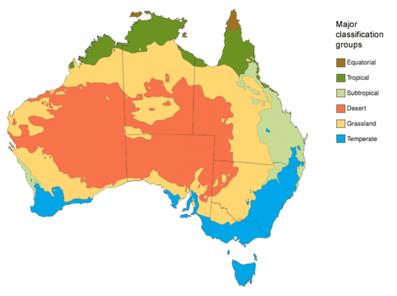
What is a map that shows physical features like mountains and rivers?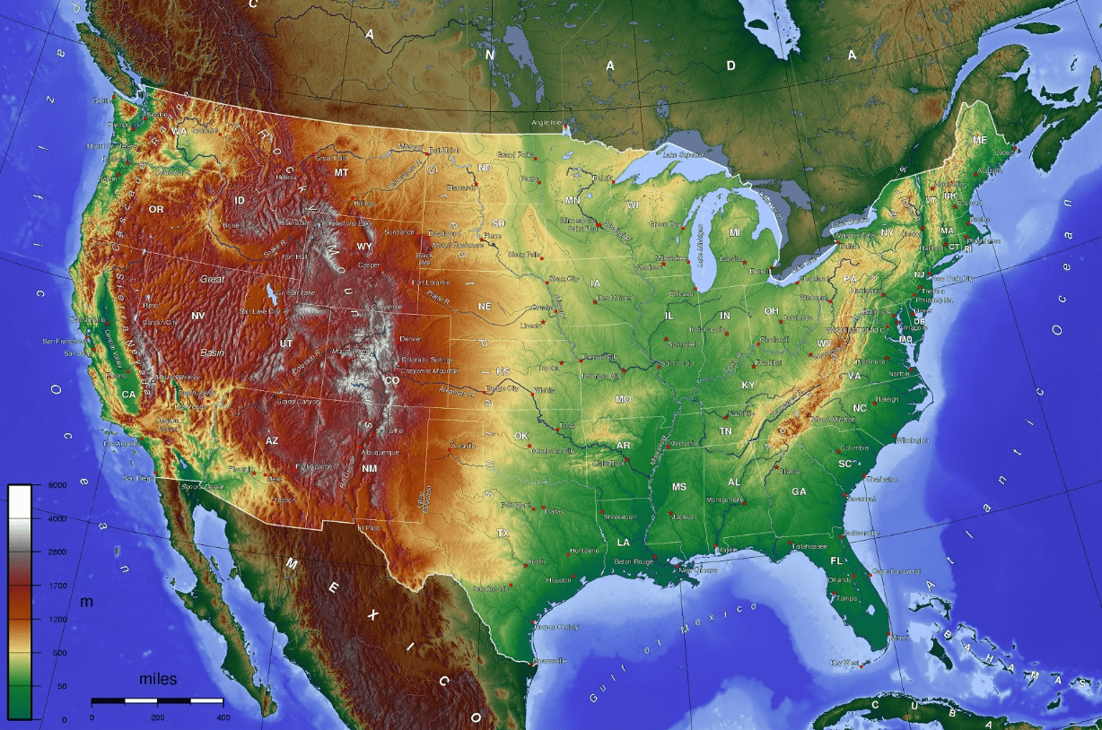
Physical Map
100
The Equator and the Prime Meridian divide the world into 4 ________________
hemispheres
100
List 3 countries that are north of Italy

answers will vary
possible answers: Germany, Switzerland, UK, Ireland, Netherlands, Denmark, Norway, Sweden, Belgium, Austria, Czech Republic, etc
200
Use the map - Ohio is _______ of Pennsylvania
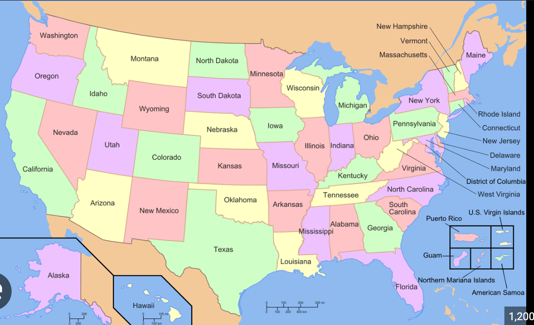
west
200
Using the map - what continent would be located at 45N, 15 E?

Europe
200
What type of map focuses shows borders/boundaries of countries and states?
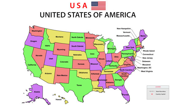
Political Map
200
If I were located at the place on Earth where the Prime Meridian and the Equator meet, what would the coordinates be?
O degrees, 0 degrees (0,0)
200
Define the following words...
-compass rose, map, and globe
Compass Rose is a tool on a map used to show direction
Map is a flat representation of the Earth
Globe is a 3-D model of the Earth
300
Use the map - Nebraska is __________ of Kansas.
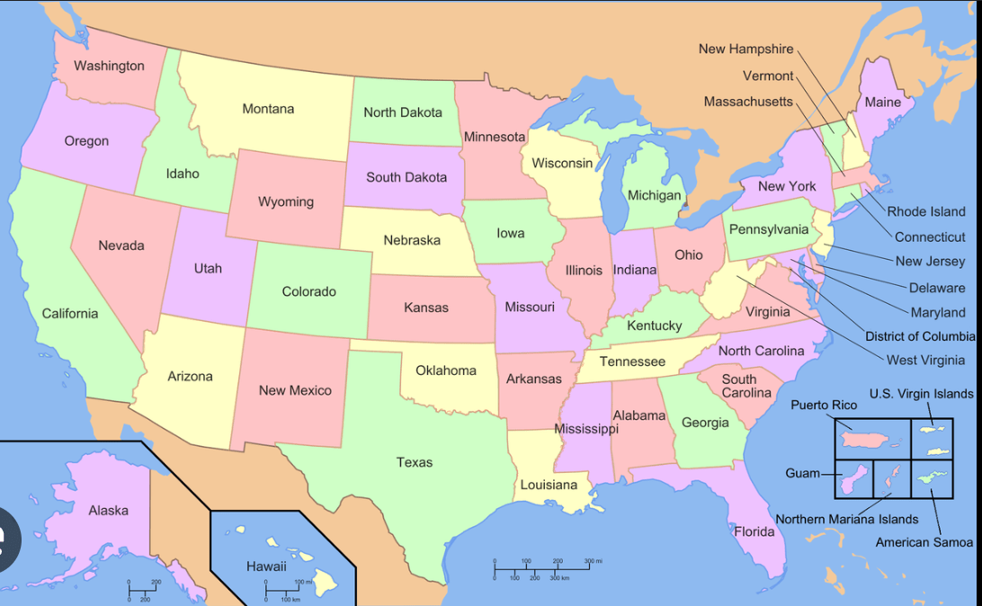
north
300
Using the map - what continent would be located at 30S, 150E?
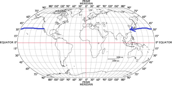
Australia
300
What type of map is show industries/resources in an area?
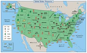
Economic/Resource Map
300
Lines that run east to west on a map are called ________________
**Equator is one of these**
Latitude lines
300
List the following
-smallest ocean
-biggest ocean
-smallest continent
-biggest continent
smallest ocean (Arctic)
biggest ocean (Pacific)
-smallest continent (Australia)
-biggest continent (Asia)
400
Use the map - Oregon is __________ of Washington

south
400
Using the map - provide coordinates that would work for North America?

Answers must be between 30-60N, and 75-135 W
400
Road maps show important road and highways - list two professions who would use a road map?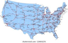
Truck Driver, Real Estate Agent, Mailman, Tourist, etc
400
Lines that run north to south on a map are called ________________
**Prime Meridian is one of these**
Longitude lines
400
Draw and label all the cardinal and intermediate directions of a compass

500
Use the map - Alabama is ___________of Mississippi

east
500
Using the map - create coordinates for Antarctica

Answers must be between 75-90S, and any longitude W/E
500
A climate shows weather patterns - list two professions that would likely use a climate map
Farmer, Meteorologist, Scientist
500
List all 7 continents and all 5 oceans
Continents: North America, South America, Africa, Asia, Europe, Australia, Antarctica
Oceans: Atlantic, Pacific, Indian, Arctic, and Southern
500
Imagine you are located at North Pole or the South Pole. What would their coordinates be?
NP - 90N
SP - 90S
**There is no longitude because of the longitude converge together in one spot**