Types of Maps
Map Vocabulary
Continents
Oceans
100
What type of map shows roads, highways, parks, airports, and neighborhoods in an area?
What is a roadmap?
100
This is the term for north, south, east and west.
What are cardinal directions?
100
 What is the name of this continent?
What is North America?
100
This is the name of the largest ocean.
What is the Pacific Ocean?
200
A map that shows state and national boundaries with major cities and capitals is called a ________________ map.
What is a political map?
200
This symbol on a map shows the directions.
What is a compass rose?
200
This continent is also a country.
What is Australia?
200
This is the name of the ocean right above or north of Antarctica.
What is the Southern Ocean?
300
What type of map shows where certain natural resources such as oil, timber, and coal are found?
What is a resource map?
300
This is used to determine distance on a map.
What is the map scale?
300
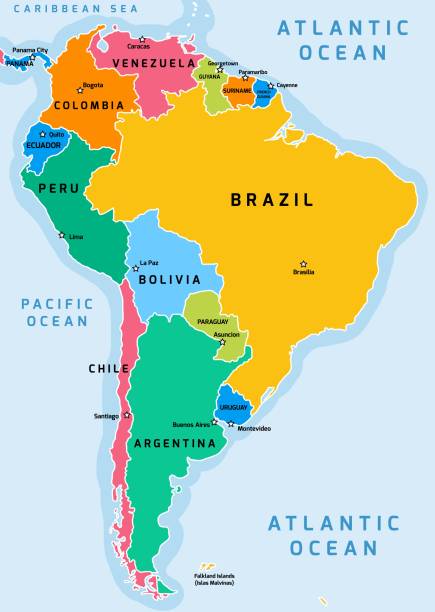 What is the name of this continent?
What is South America?
300
This is the closest ocean to us here in Maryland.
What is the Atlantic Ocean?
400
This type of map shows the temperature or rainfall in certain places over a period of time.
What is a climate map?
400
The imaginary line that runs west to east and divides the Earth into the Northern and Southern hemispheres is called the ____________________________?
What is the equator?
400
These two continents do NOT have an ocean between them and actually touch.
What are Europe and Asia?
400
This ocean is located up near the North Pole.
What is the Arctic Ocean?
500
This type of map shows landforms such as mountains, deserts, jungles, and tundra.
What is a physical map?
500
This is the imaginary line that runs from the north to the south and divides the Earth into the Western and Eastern hemispheres.
What is the prime meridian?
500
This continent has the most countries. Some people think it's a country, but it's not!
What is Africa?
500
This ocean is directly under the country of India.
What is the Indian Ocean?