Tells us what the map is of
What is a Map Title
a piece of land entirely surrounded by water
What is an island
Poley, with skiing in the winter, and dirt biking in the summer
What landform is Mountain
The smallest province by land size.
What is Prince Edward Island.
The study of land and natural features of a region
What is Physical Geography
Map Key
Tells us what the different symbols on the map stand for
A fairly flat piece of land with few trees and no mountains or hills.
What is a plain.
Raised and fairly flat piece of land.
What is a plateau.

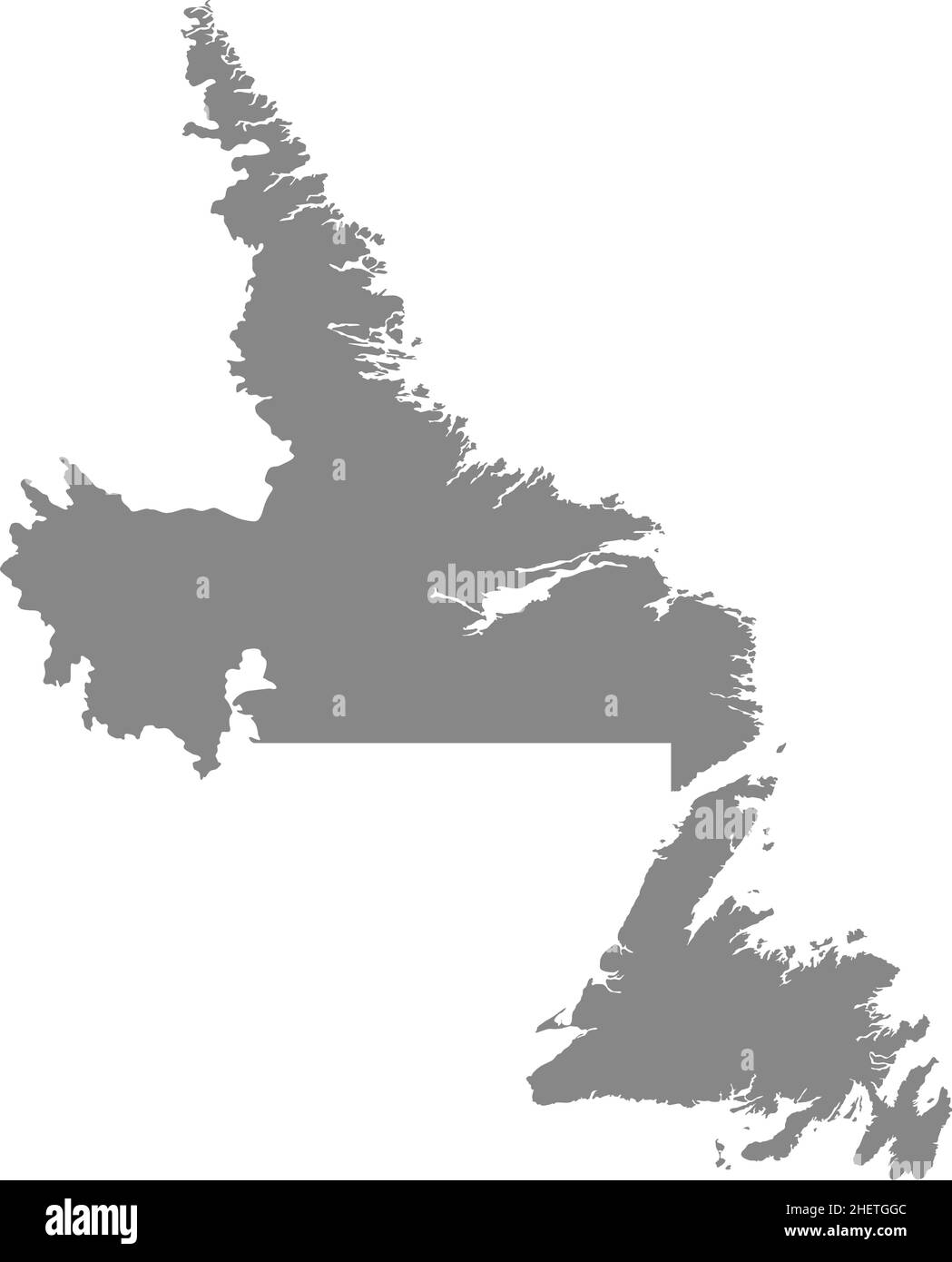
What is Newfoundland and Labrador.
Cultural Geography
The study of people and how they live in a region
Separates countries, provinces and bodies of water
What is a Boundary Line
A landform that rises sharply, is bigger than a hill and comes to a peak at the top
What is a Mountain
The Kingston Peninsula.
What is a peninsula.
The V in KV stands for.
What is a valley.
The landforms we can see from our school property.
Lakes, hills, valleys.
The symbol that gives us the direction of the map
What is a Compass Rose
A low landform with hills or mountains on either side.
What is a valley

What is a plain.
When the tide is up at Hope Well Rocks, the rocks are considered....
What are islands.
What traditional indigenous land our school is located on
What is the territory of the Wolastoqiyik.
Map Scale
Tell us the size of the map in Relation to real life
A landform that rises yup like a mountain, but has a flat top.
What is a plateau
It takes a ferry to get to Grand Manan
What is an island
The mountain range the Atlantic provinces are located on.
What are the Appalachians Mountains.
The way we speak, the things we do, the food we eat, the things we create, and the belief we hold; a shared way of living.
What is Culture.