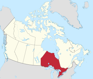
Which Province is coloured red?
Ontario
What is the capital of Ontario?
Toronto
What element tells us what the symbols on a map mean?
Legend/Key
Where is the CN Tower?
Toronto
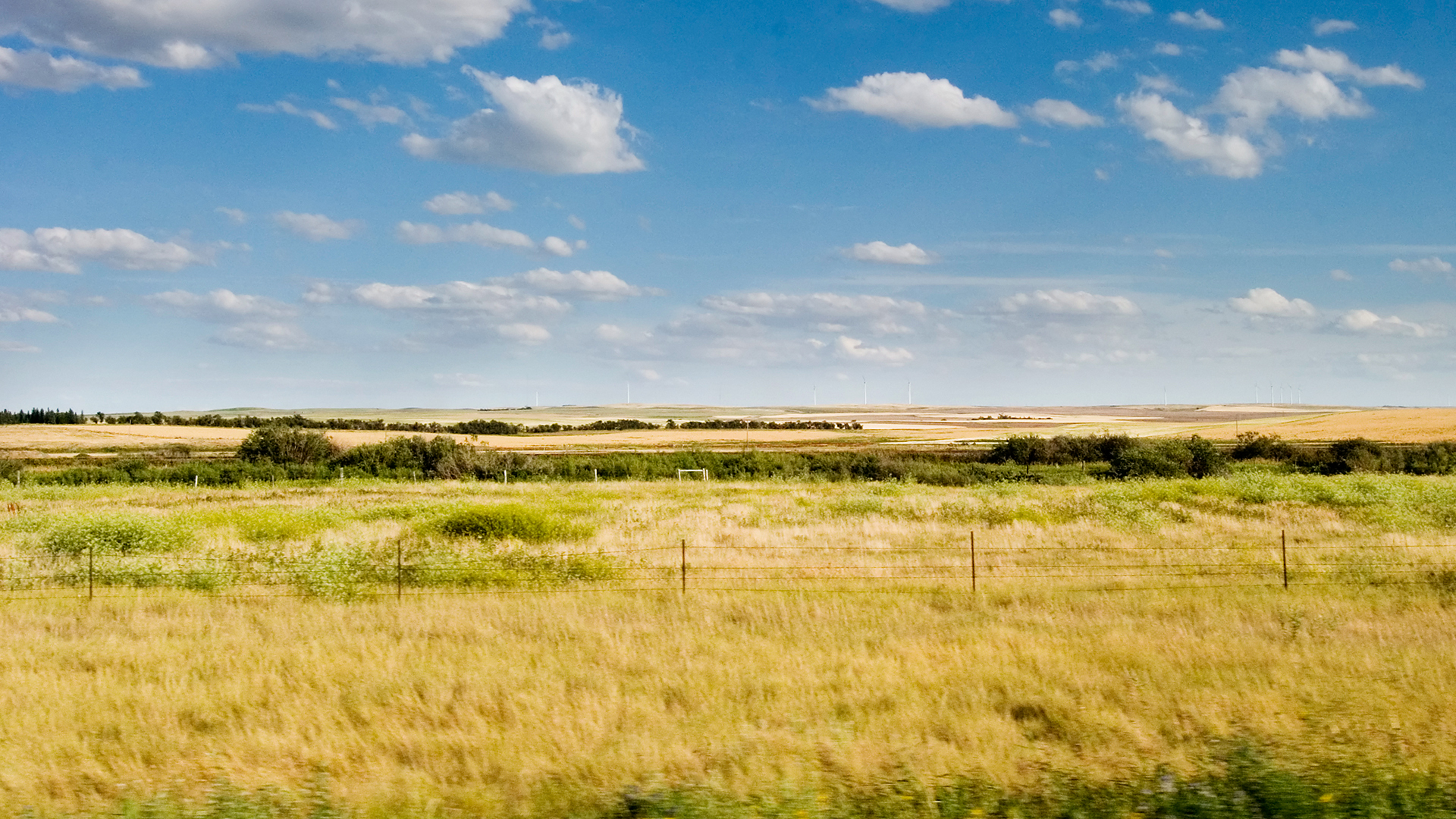
Which province is known for its flat plains and grasslands?
Saskatchewan
What is the capital of Quebec?
Quebec City
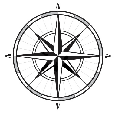
Name all of the cardinal and intermediate directions.
North, Northeast, East, Southeast, South, Southwest, West, Northwest
Where are the Parliament buildings in Canada?
Ottawa
How many Provinces/Territories are there? 
10 provinces and 3 territories.
What is the capital of Canada?
Ottawa
Title, Compass Rose, Legend/Key, Scale
Prince Edward Island (PEI)
Name the three territories.
Yukon, Northwest Territories, Nunavut
Which capital cities have an NHL team? (Capital of Canada included)
Ottawa Senators, Toronto Maple Leafs, Winnipeg Jets, Edmonton Oilers
What are the numbers/letters codes called that you use to read a grid map? (ex: D3)
Coordinates
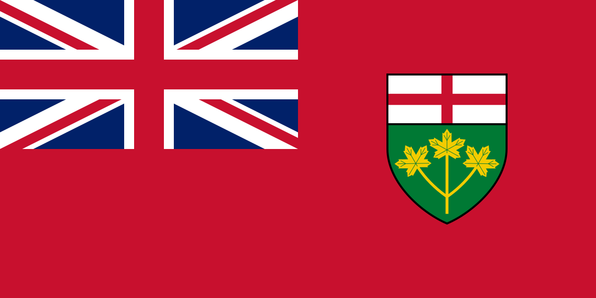
Which flag is this? 
Ontario
Name all the provinces that are East of Ontario (5).
Quebec, Nova Scotia, New Brunswick, Prince Edward Island, and Newfoundland and Labrador
Iqaluit
What is the purpose of a Scale on a map?
to compare the relationship between a distance on a map and the distance on the earth. (ratio of distance)
Which province is the furthest West in Canada?
British Columbia