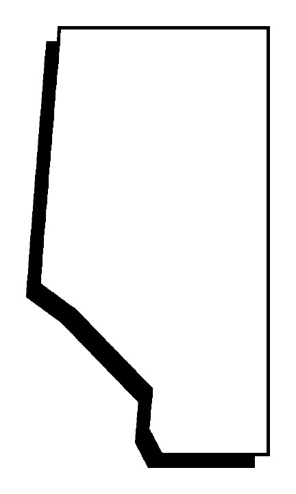
Name This Shape
Parts of a Map
Map, Globe, or Both
Using A Map
Vocabulary
100
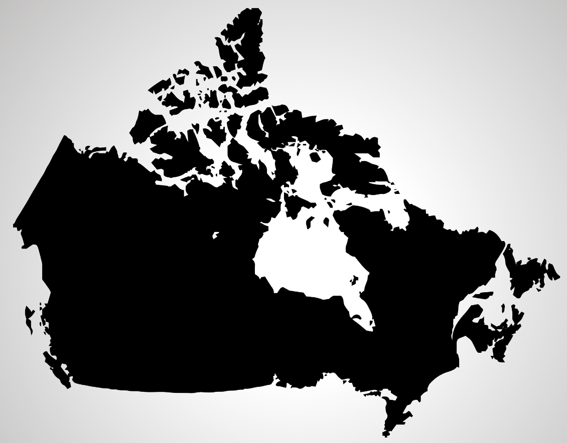
What is a Canada?
100
This tells what the map is about.
What is a map title?
100
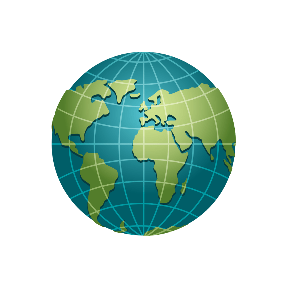
It is shaped like a 3-D model of the Earth.
What is a globe?
100
The dots on a map usually mean this.
What is a town or city?
100
This flat object has drawing of places and flattens out the shape of the Earth's surface. There are many different types of these.
What are maps?
200
 A map that displays how the land pictured is being used. The map can display crops, minerals, and animals in the area.
What is Alberta?
200
A boxed in area that shows what symbols on a map mean.
What is a map key?
200
It shows oceans and land and can be turned to see different views.
What is a globe?
200
Wiggly blue lines on a map usually mean this:
What is a river?
200
These are the four main parts of a compass: North, South, East, & West.
What are cardinal directions?
300
 A map that details the type of weather found in an area.
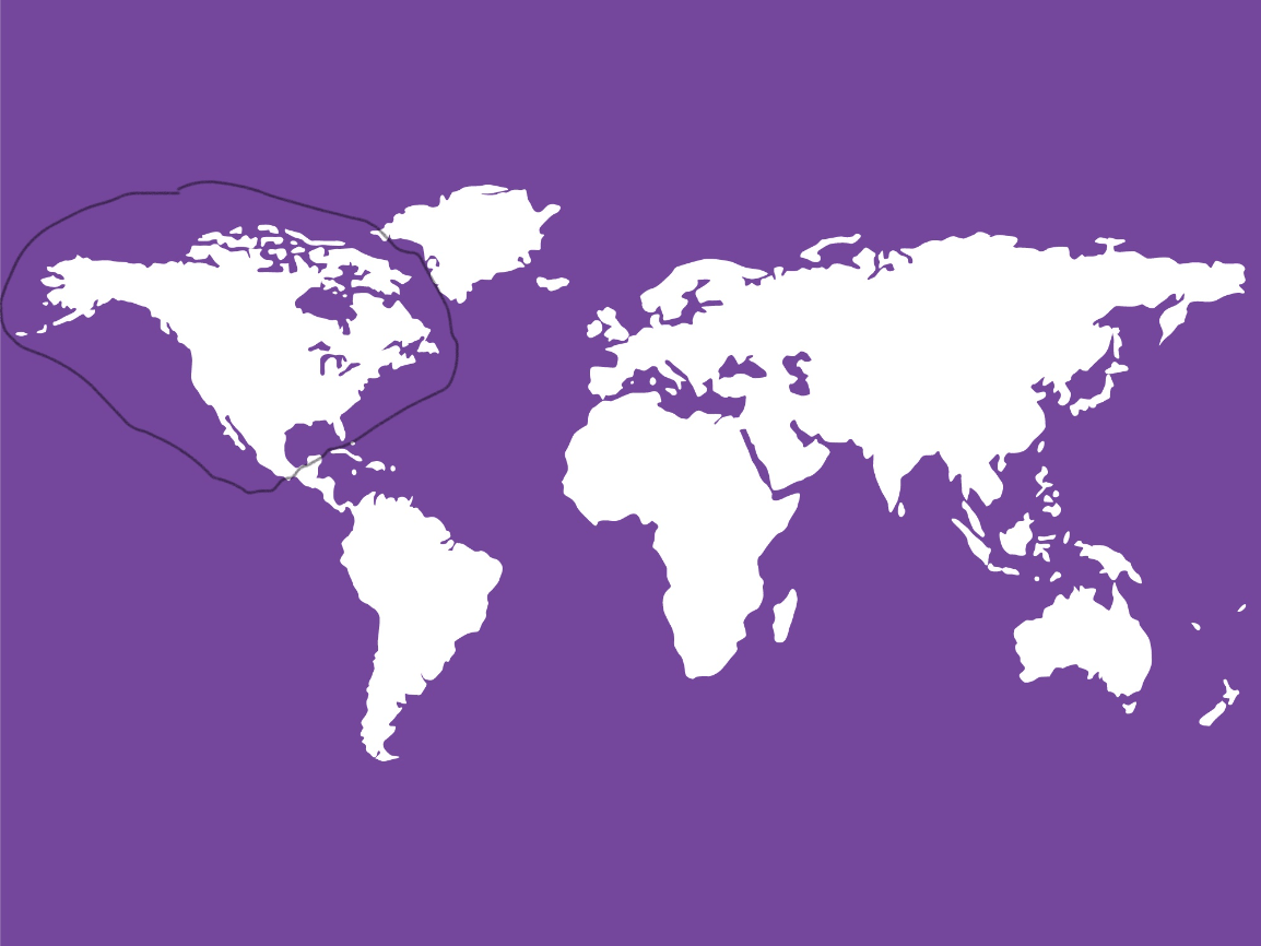
What is North America?
300
It shows directions in the form of a compass and helps to match that direction with the actual direction of the Earth.
What is a compass rose?
300
It shows different kinds of places and is usually used for directions (finding a place).
What is a map?
300
The name for lines on a map that mark different geographical areas
What are borders?
300
These are pictures on the map that stand for real world things, like mountains, rivers, factories, trees, etc.
What are symbols?
400
The big pieces of land are called this:

What are continents?
400
The blue areas on a map can mean these three things:
What are oceans/seas, river, or lakes?
400
It can show the equator or location of different places.
What is both?
400
Different colors on a map can mean these.
What are countries, provinces, states, or continents?
400
*Bonus question: These are the points between the main directions: Northeast, Northwest, Southeast, & Southwest.
What are intermediate or intercardinal directions?
500
The imaginary horizontal line around the center of Earth
What is the equator?
500
It is a line that shows how many miles or kilometers are represented by an inch.
What is a scale?
500
It shows things how they look from above, as if from a bird's view from the sky.
What is both?
500
The direction that is always UP on a map.
What is North?
500
Halves of the earth, either northern and southern, or eastern and western
What are hemispheres?