Maps
Landforms
Continents
Oceans
Leftovers
100
Shows climate and weather conditions.
What is a weather map?
100
A large, steep area od raised land, which usually rises more than 1000 ft.
What is a mountain?
100
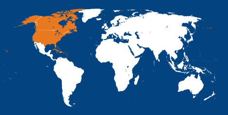
What is North America?
100
![]()
What is the Atlantic Ocean?
100
A small area of land that is completely surrounded by water.
What is an island?
200
Shows transportation routes and roads in a articular area.
What is a road map?
200
A piece of land that is surrounded on 3 sides by water.
What is a peninsula?
200
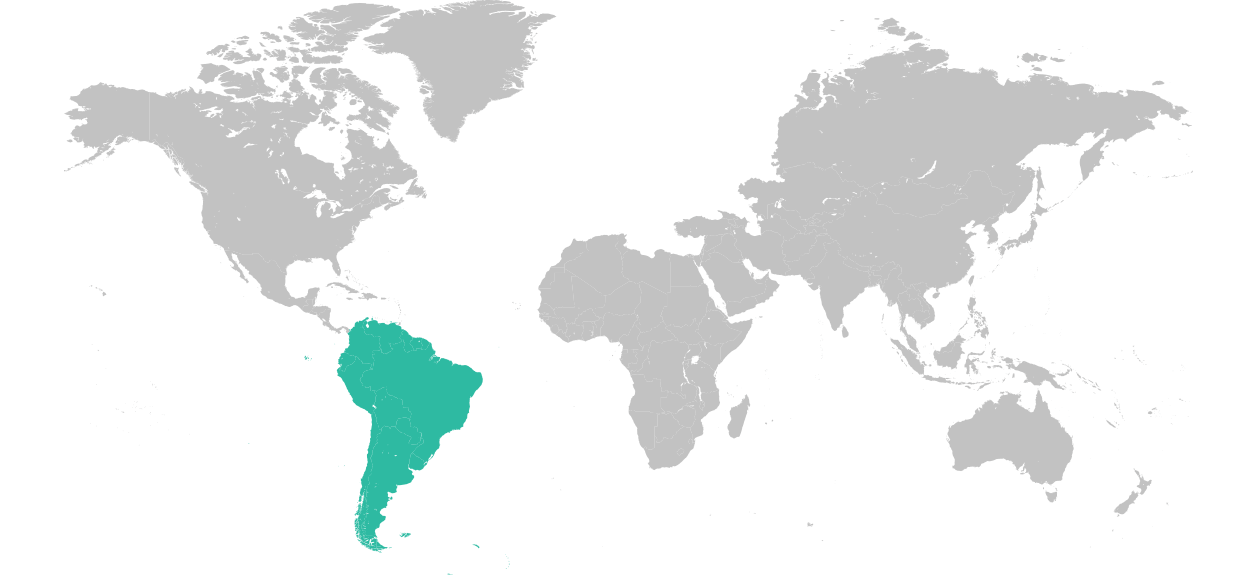
What is South America?
200
![]()
What is the Pacific Ocean?
200
A small body of water completely surrounded by land.
What is a lake?
300
A map that shows landforms, such as rivers, lakes, or mountains.
What is a physical map?
300
A deep, narrow valley, usually with a river running through it.
What is a canyon?
300

What is Africa?
300
![]()
What is the Indian Ocean?
300
A dry area of land with very little rainfall.
What is a desert?
400
A raised, flat area of land
What is a plateau?
400
A naturally raised area of land.
What is a hill?
400

What is Asia?
400
![]()
What is the Arctic Ocean?
400

What is Australia?
500
A map which shows boundaries of countries, states, counties, or cities.
What is a political map?
500
A low area of land between hills or mountains.
What is a valley?
500

What is Europe?
500

What is Antarctica?
500
The lines that divide the globe into four equal parts.
What is the Equator and the Prime Meridian?