TimeZones
Longitude and Latitude
Equators, Prime Meridians, Hemispheres
Continents and Oceans
Map Elements
100
Our timezones are based on this (Hint: lines of longitude or latitude)
What are lines of longitude?
100
These are the lines that run horizontally around the length of the Earth.
What is latitude?
100
This vertical line divides the Earth in two hemispheres: East and West
What is the prime meridian?
100
This is the continent we live in.
What is North America?
100
This map element is helps us understand what the map is about.
What is title?
200
This is the line where our universal time is at "0" (instead of +3, -3, etc.)
What is the prime meridian?
200
These are the lines that run vertically across the Earth.
What is longitude?
200
These two hemispheres are created by the equator.
What are Northern and Southern?
200
This is the below continent. 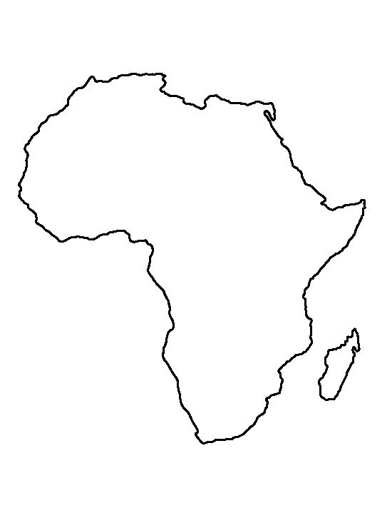
What is Africa?
200
This map element tells us the directions on the map.
What is a compass rose?
300
This is the time at GMT -5 if the time at GMT 0 is 5:00 am.
What is 12:00 am?
300
(Requires MapMaker) This country is at the coordinates 30N, 45E.
What is Iraq?
300
This is the degree of longitude at the Prime Meridian.
What is 0?
300
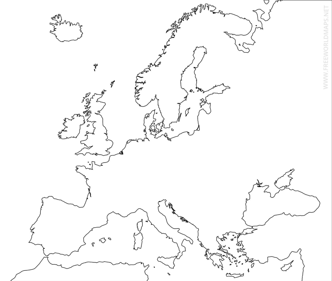
What is Europe?
300
This map element gives us more information about the map.
What is a legend?
400
This is the time at GMT +4 if GMT 0 is at 2:00 pm.
What is 6:00 pm?
400
(Requires MapMaker) This country is at the coordinates 150E, 30S.
What is Australia?
400
This is the degree of latitude at the equator.
What is 0 degrees?
400
This ocean is on the West Coast of the United States.
What is the Pacific?
400
This is the below map element. 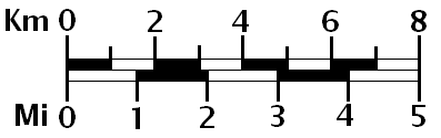
What is a scale?
500
This is the time and day at GMT +12 if the time at GMT 0 is Tuesday, 4:00 pm.
What is Wednesday, 4:00 am?
500
(Requires MapMaker) The latitude 30S goes through this Southern Brazilian city.
What is Porte Alegre?
500
These are the two hemispheres the United States is in.
What is the Northern and Western hemispheres?
500
This ocean is at the North Pole (top part) of the map.
What is the Arctic Ocean?
500
This map element "zooms in" to one specific place in a larger map.
What is a map inset/insert?