Large pieces of the earth’s crust that move in relation to one another.
Plates
(Tectonic Plates, Plate Tectonics)
Which theme of geography studies the methods and reasons people, goods, and ideas travel the earth?
Which part of a map…
briefly describes what the map is showing or what it is used for?
An extreme naturally-occurring event that has the potential to negatively impact its surrounding environment
What is the name of the line at O° longitude?
It splits the earth into its eastern and western hemisphere
Prime Meridian
This boundary occurs when two tectonic plates move away from each other. They can cause magma to rise from the Earth's mantle to the surface, which creates ridges and new oceanic crust
Divergent
Which region is best shown by the picture below?

Region
Which part of a map…
Identifies what the symbols or color of the map represent?
Key (Legend)
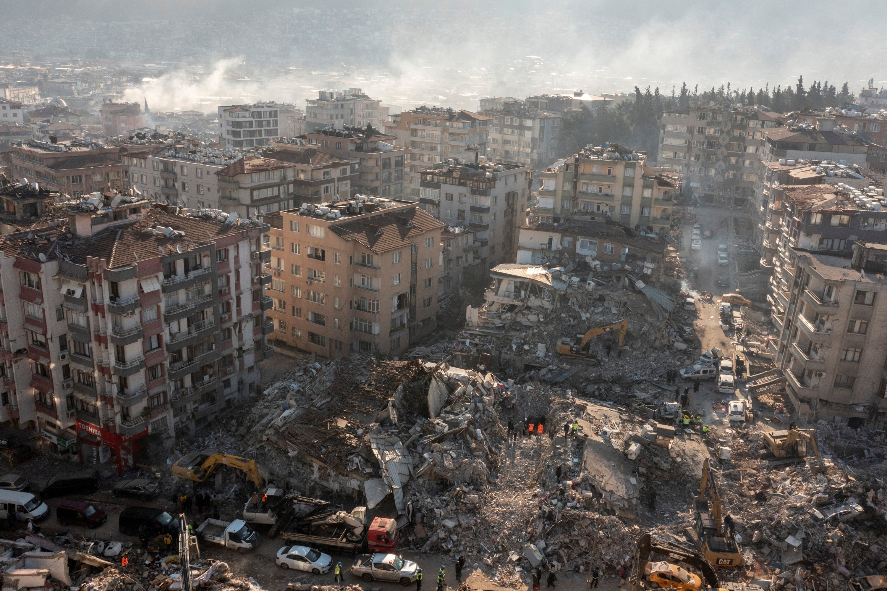
The aftermath of a natural event that has caused significant, widespread damage to the living environment
Disaster
What is the name of the ancient supercontinent, comprising all the present continents joined together, that began to break up about 200 million years ago?
Pangea
The misrepresentation of shape, area, distance, or direction of or between geographic features when compared to their true measurements.
This is the reason why all maps LIE!!!
Distortion
Which theme of geography examines the physical and human features of an area?
Place
Which part of a map…
Uses a system of imaginary lines that divide up space on a map?
(usually include horizontal and vertical lines that meet at 90° angles)
Grid
(Longitude/Latitude)
Natural Hazard or Disaster?
Tornadoes create strong winds and contain flying debris. It is generally believed that tornadic wind speeds can be as high as 300 mph in the most violent tornadoes.!
Hazard
What layer of the earth did the milk represent in our “Hot Cocoa Continents” experiment?

Mantle
The size, power or intensity of an event or situation.
Hint: we used it to measure natural disasters…
Magnitude
Human Environment Interaction studies the ways in which people adapt to, depend on and ____ the environment.
Modify
(Other possible answers: change, alter, impact, affect)
Which part of a map…
Indicates how the distances on the map compare to the actual distances in real life?
(e.g. 1 inch = 3 feet)
Natural Disaster or Hazard?

Disaster
________ plate boundaries are when two tectonic plates collide together.

Convergent
A way of thinking about, interpreting or understanding something (such as a particular issue, event or life in general); your point of view
Perspective
Absolute location is determined using ________ .
Coordinates
(Latitude/Longitude)
A person who creates maps is called a ________ .
Cartographer
Natural Hazard or Disaster?
A _______ can trigger a _______.
Natural hazard; disaster
What is the name of this map projection?
Mercator