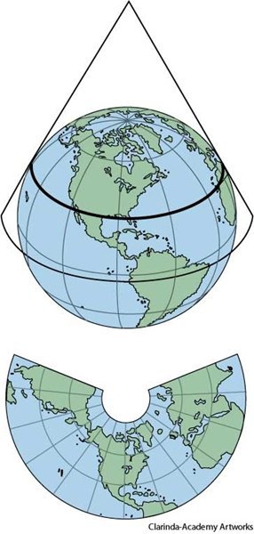
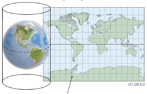
There are two types of maps, What are the two types that we have talked about in class?
Political and Physical
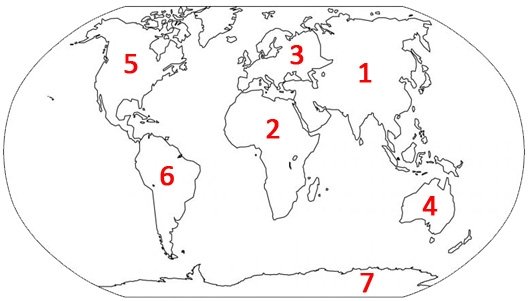
Africa
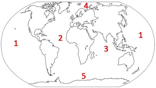
What are the Three types of Map projections?
Planar, Conic and Cylindrical
What is the definition of a Mountain?
A large natural elevation on Earth’s surface
What does a physical map show?
It shows landscape and the features of that location

North America

Pacific
Conic
A large area covered with trees
What is the definition of a Forest?
It shows direction
What does a Compass Roes do?

Asia

Indian
Cylindrical
Land surrounded by water on all sides
What is the definition of an Island?
What is a scale used for on a map?
It shows the distance between places on a map

Europe

Southern
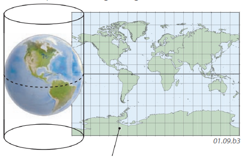
Mercator Map
What is the definition of a lake?
A large body of fresh water surrounded by land
What is a key/legend used for on a map?
It explains a symbol or a color on a map

Antarctica

arctic
A Functional map shows ___________________________________.
an area organized around something central
What is the definition of a Strait?
A narrow passage of water connecting two other larger bodies of water
