Interface
Vessel Data Card
Wildcard
SeaVision Activity
Data
100
What does this vessel symbol mean?
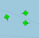
The vessels are anchored
100
What is the nine-digit number assigned to vessels, coast stations, and other maritime communication devices that is used for identification and communication in systems like AIS?
Maritime Mobile Service Identity (MMSI)
100
This term refers to a vessel flying the flag of a country it is not legally registered with.
False Flag
100
Send a "Good Morning" message in the Zone F Ghana chat room.
Good Morning
100
This system, mandated for most commercial vessels, transmits ship identity, position, speed, and course to improve maritime safety.
Automatic Identification System (AIS)
200
Which static layer is active?
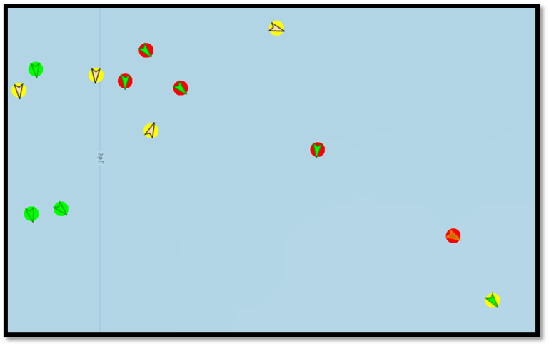
Warnings
200
What is the name of the international organization responsible for regulating safety, security, and environmental standards for shipping, including the requirement for AIS equipment on certain vessels?
International Maritime Organization (IMO)
200
A ship departs from a known position and sails on a course of 090° (due east) at a constant speed of 12 knots. Using dead reckoning (DR), calculate the total distance traveled by the ship after 3 hours.
A. 24 nautical miles
B. 36 nautical miles
C. 48 nautical miles
D. 60 nautical miles
B. 36 nautical miles
200
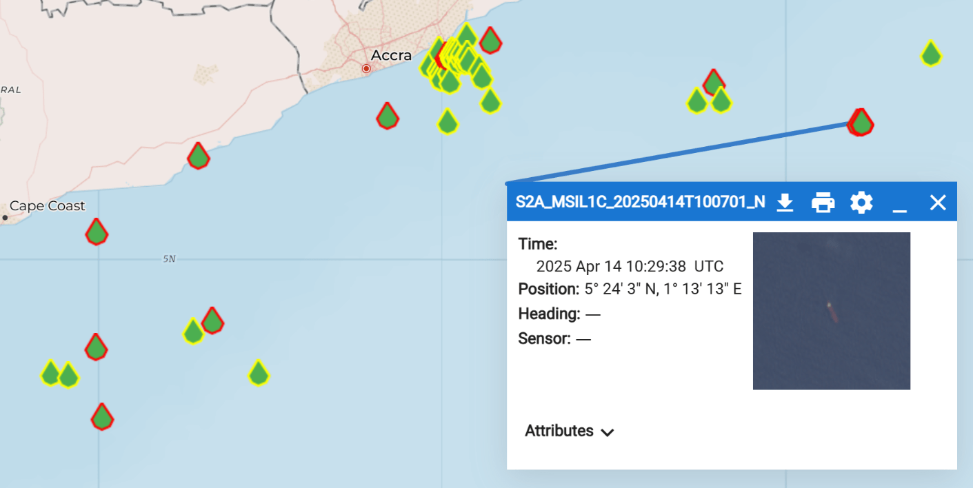
Find the cargo vessel CMA CGM MASAI MARA, MMSI 205178000 on the SeaVision map. What is the last known AIS position?
Look at SeaVision Map
200
This deceptive practice involves transmitting false data to mislead maritime tracking systems and conceal a vessel's true location or identity.
AIS Spoofing
300
What is this feature called in SeaVision?
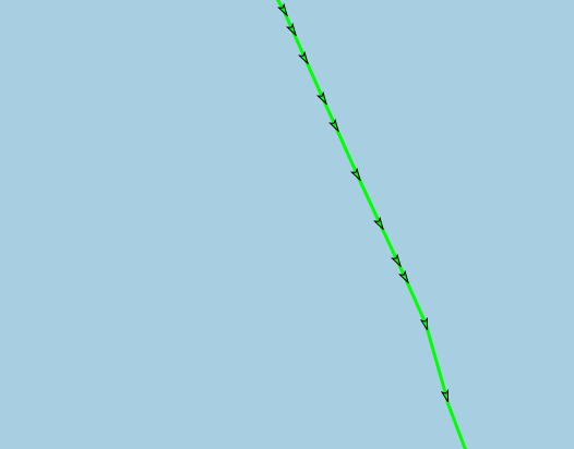
History Trail
300
According to the UN/LOCODE, which of the following is the correct way for a vessel to input their destination when traveling to the port of Takoradi, Ghana?
A. Takoradi Port
B. GHTakoradi
C. GHTKD
D. GHATKD
C. GHTKD
300
Once a Rule or Alert is created, how long will it stay active?
30 Days
300
Cargo Vessel Pelican Harmony is not transmitting IMO number on AIS. Find the true IMO number of this vessel.
IMO 9225251
300
What type of data source is displayed on SeaVision?
Satellite Electro-Optic (SAT-EO)
400
What Static Layer is active?
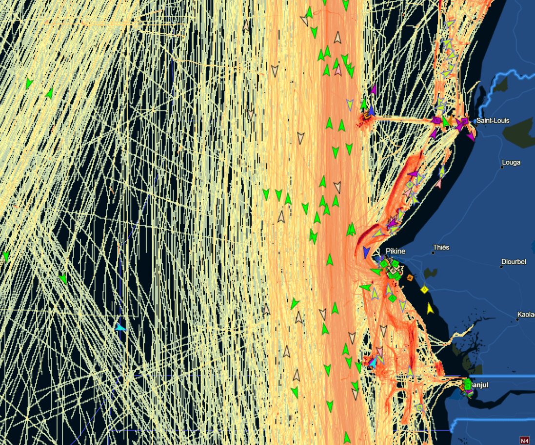
Historical Heatmap
400
What is the primary difference between heading and course over ground (COG)?
Heading is the direction the vessel is pointed, while COG is the actual direction the vessel is moving.
400
True or False:
Once a vessel is decommissioned and scrapped, its IMO number can be legally reassigned to another vessel.
False
400
How many vessels are operated by the company Nippon Marine Service?
13
400
This radar-based satellite imagery can detect vessels at night and through heavy cloud cover.
Satellite Synthetic Aperture Radar (SAT-SAR)
500
Which Static Layers are activated? (Three)
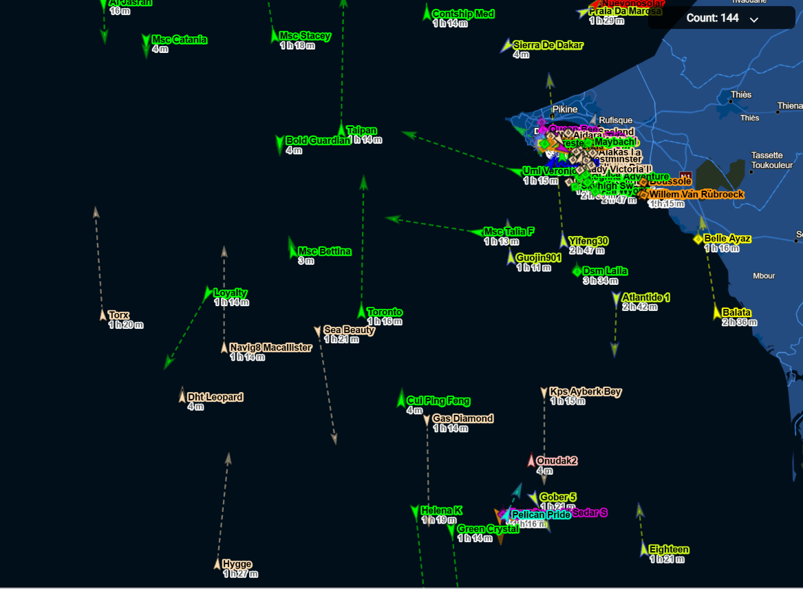
Vessel Name
Vessel Age
Dead Reckoning
500
Which of the following IMO numbers are incorrect with invalid checksums.
A. 1101112
B. 9999929
C. 9459877
C. 9459877
500
This map tool visualizes historical ship movement on the map in a user-defined timeframe.
Time Machine - Playback
500
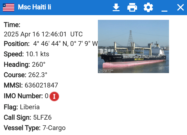
A German flag cargo vessel with call sign DDOQ2 changed it's flag state and MMSI number on 11 February 2025 while at port of Valencia, Spain. What is the new MMSI, flag, and call sign of the vessel now?
Vessel Name: Ulsan Express
MMSI: 636093355
Flag: Liberia
Call Sign: 5LVB5
500
This type of AIS data includes fixed information like vessel name, MMSI, Call Sign, and IMO number.
Static AIS Data