A relief map shows what

the relief and landorms of a country or region
How many rivers are in Spain
more than 1800
What is West of the Iberian Penenisula
Atlantic ocean
Colors and what are used to show the different heights of the land
a key
Where do the Spanish rivers flow to
Atlantic Ocean, Mediterranean Sea and Cantabrian Sea
Water that flows down mountains collects in river basins and forms what
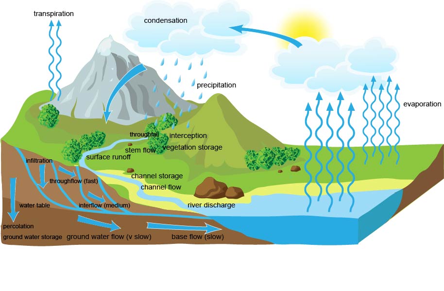
lake
This river begins at the Fantibre spring in Cantabria. It flows south-eastern. It flows through Zaragoza, and eventually into the Medditarrean Sea at Deltebre.
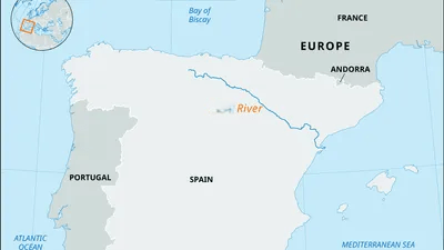
Ebro
This is a flat area of land high above sea level
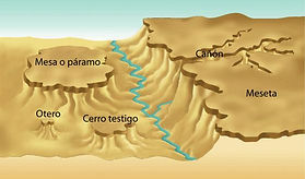
plateau
This river’s source is in the Picos de Urbión, in the Sistema Ibérico. This is the highest river source in Spain. It first flows south and then west all the way through Portugal. On the way, it passes through Zamora and it flows into the Atlantic Ocean near Porto. Its tributaries include the Pisuerga and the Esla.
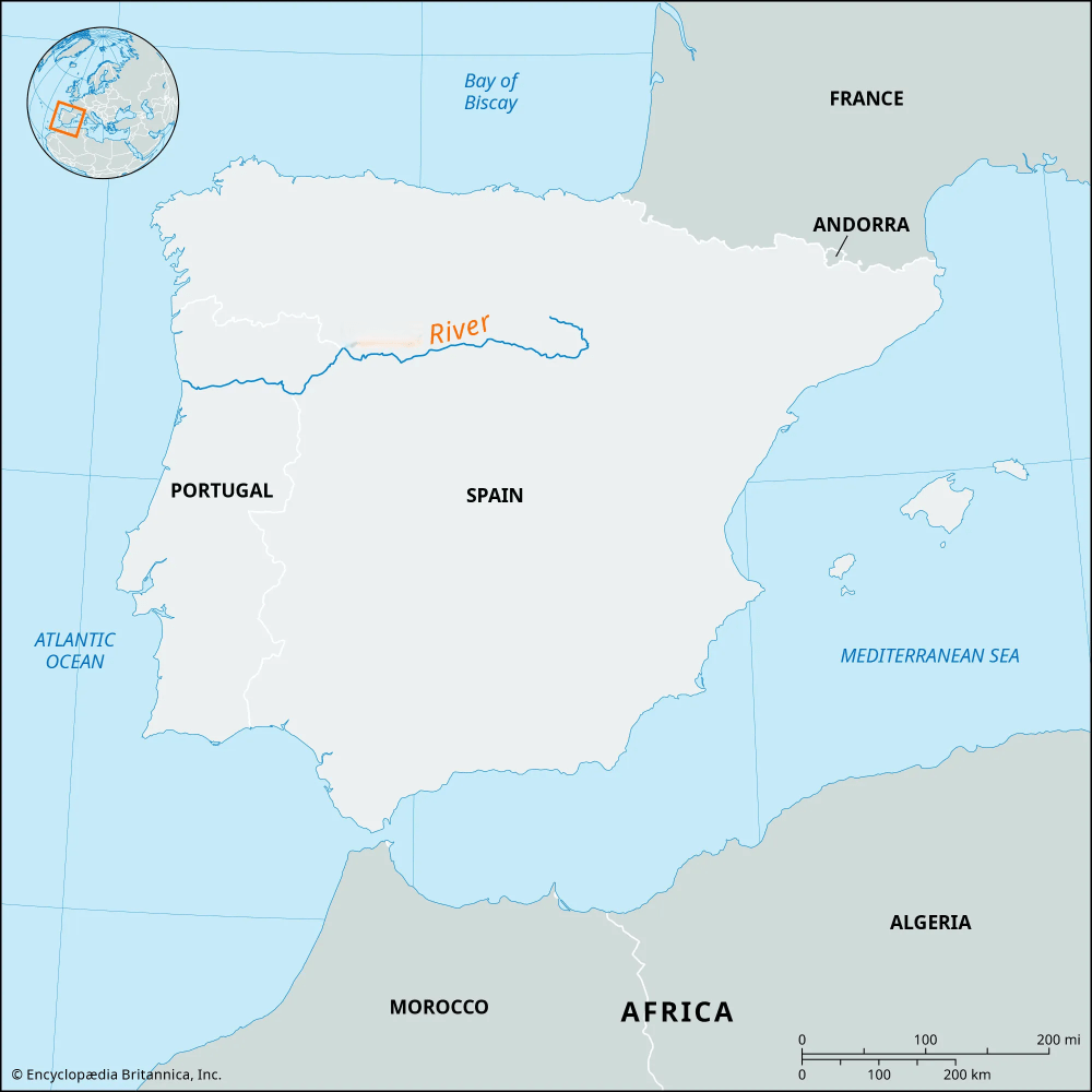
Duero
this is a large are of flat land at low elevation
plain
Area where all the rivers flow into the same ocean or sea
watershed