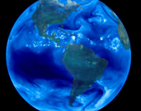
Parts of the Earth
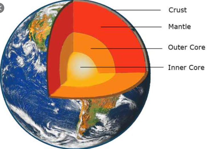
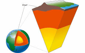
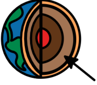
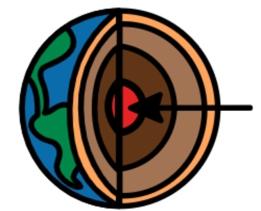
Inside the Earth
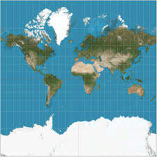
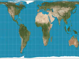
Types of Maps
Latitude and Longitude
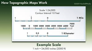
Topographic Maps
100
True or False: The Earth is a PERFECT sphere.
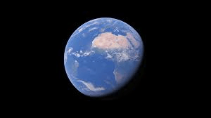
False! The earth is slightly flattened at its North and South poles.
100
True or False: The layers of the earth are the crust, the mantle, and the core.
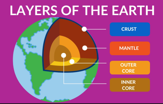
True!
100
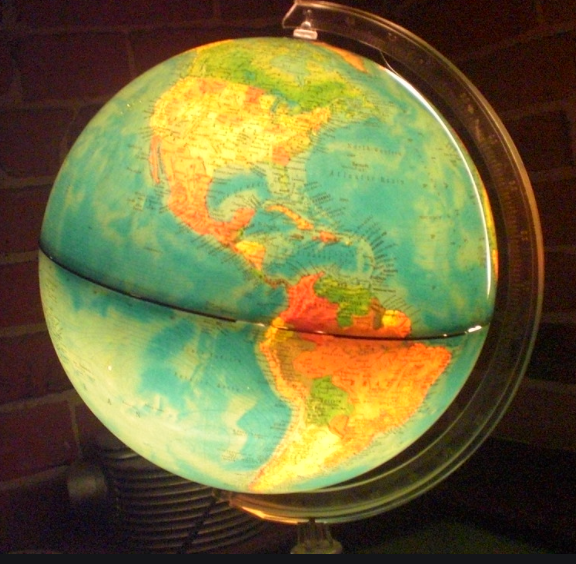
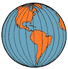
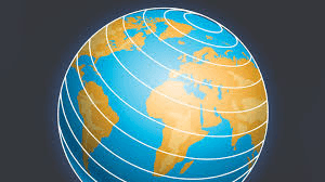
A spherical model of the earth is called a...
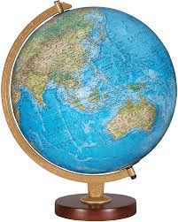
What is Globe?
100
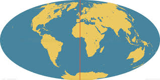
The imaginary line separates the Northern and Southern Hemispheres of the Earth.
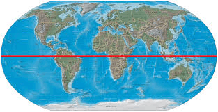
What is The Equator?
100
Most maps have this to help estimate distances between two points.
Hint: a map key or a map scale?
What is a map scale?

200
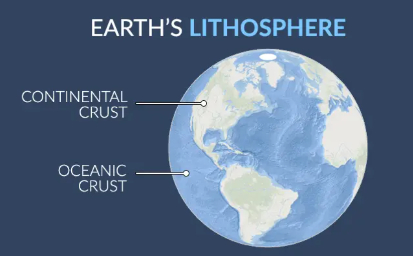
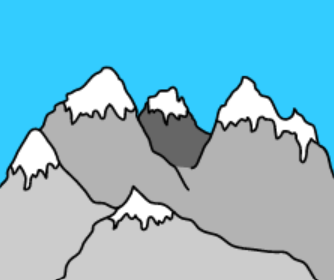
Mountains are raised parts of this layer of the earth...
Hint: the Hydrosphere or the Lithosphere?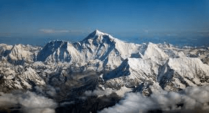
What is the Lithosphere?
200
The solid OUTER layer of the earth is called...
The crust or the core?

What is The Crust?
200
A flat model, or drawing, of the earth are called this.
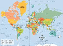
What is a Map?
🗺️🗺️🗺️🗺️
200
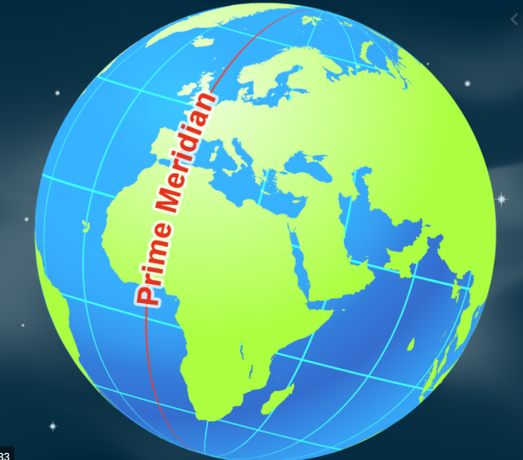
This imaginary line from the North Pole to the South Pole passes through Greenwich, England.
Hint: the Tropic of Cancer or the Prime Meridian?
What is Prime Meridian?
200
Topographic maps show changes in ____ on a two dimensional map. (Hint: elevation or altitude)
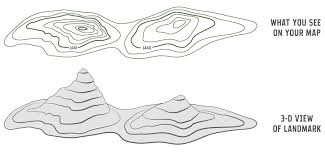
What is elevation?
300
Lakes, rivers, oceans and waterfalls make up this part of the earth...
Hint: the hydrosphere or the atmosphere?
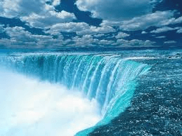
What is The hydrosphere?
300
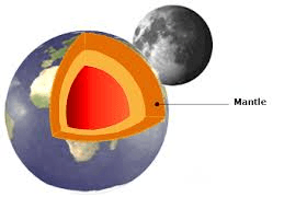
More than 2/3 of the mass of the earth is in the ____.
What is The Mantle?
300
Errors in shape, size, or distance are called this.
Hint: Distortions or deposition?
What are Distortions?
300
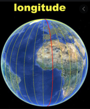
These imaginary lines cover the earth from the North Pole to the South Pole.
Latitude or Longitude?
What is Longitude?
300
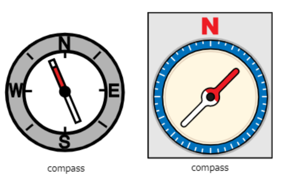
This map tool helps you find directions such as North, South, East, West?
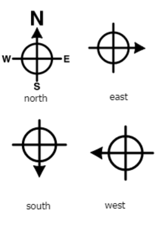
What is a compass rose?
400
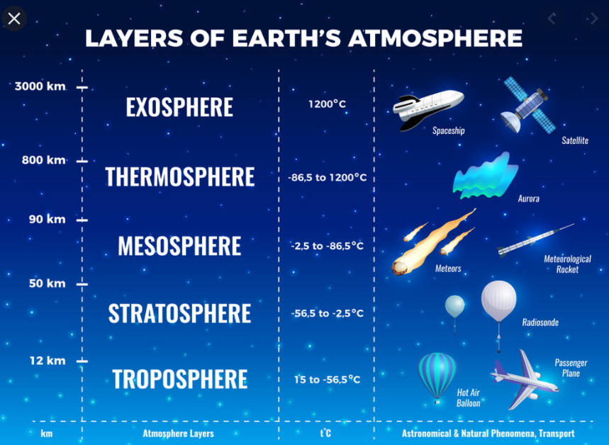
This is the envelope of gases surrounding the earth.
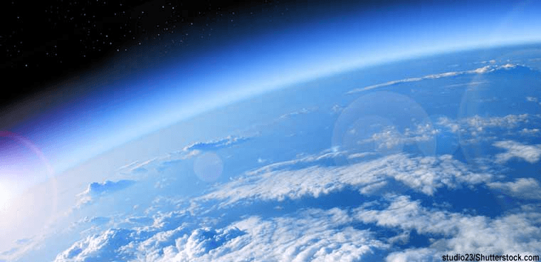
What is the Atmosphere?
400
The two innermost layers of the earth makes up the ____.
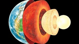
What is the Core?
400
What kinds of map is this an example of....
physical, political, or topographic map?
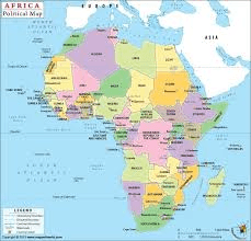
Political Map
400
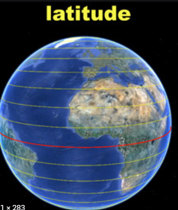
These imaginary lines run parallel to the Equator and run north and south of it.
Hint: Latitude or longitude?
Latitude
400
This is one example of a topographic map called a...
Hint: a topographic map or a relief map?
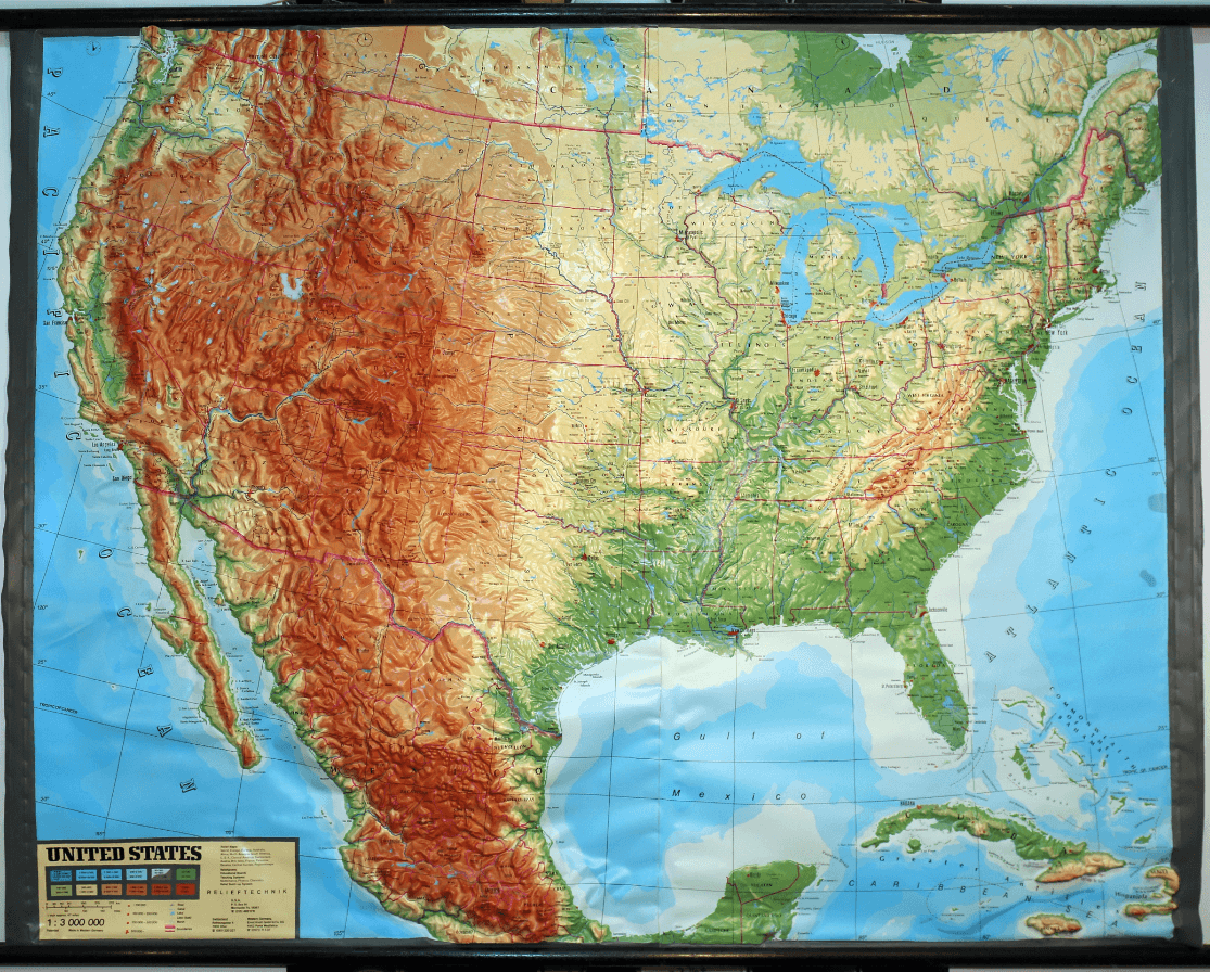
What is a Relief map?
