Where in the world is Mr. Longitude?
Don't take it for Granite
You got some nerve, Earth!
Map it, or snap it!
Hot, Cold, or Mild Salsa?
100
What are the 7 Continents of the World?
-North America
-South America
-Europe
-Asia
-Africa
-Australia
-Antarctica
100
What are the 4 structures of the Earth
1. Crust
2. Mantle
3. Outer Core
4. Inner Core
100
___________ often occur when plates meet along their edges, called a fault, the tension builds up along fault lines as the plates sick.
Earthquakes
100
What is a flat representation of all or part of the planet?
Maps
100
What is the difference between climate and weather?
Climate is the average year after year conditions of temperature, precipitation, winds and clouds in an area.
Weather is the condition of the atmosphere at a particular time and place.
200
What are the 5 Oceans labeled on the map?
-Arctic Ocean
-Pacific Ocean
-Atlantic Ocean
-Southern Ocean
-Indian Ocean
200
Refers to all the processes that create many of Earth's physical features
Plate Tectonics
200
A chemical or physical process in which rocks exposed to weather are worn down.
Weathering
200
Who converts the three-dimensional globe image onto a flat map by creating a map projections.
Cartographers
200
What are the 4 general climate zones?
Polar, Temperate, Tropical, and Subtropical
300
What imaginary line divides the Northern and Southern Hemisphere?
Equator
300
Subduction results in the formation of what 3 features?
Mountains, Oceanic Trenches, Volcanoes
300
The carrying away of weathered soil, rock, and other materials on the Earth’s surface by wind, water, and gravity.
Erosion
300
Texas is located ________ from Oregon.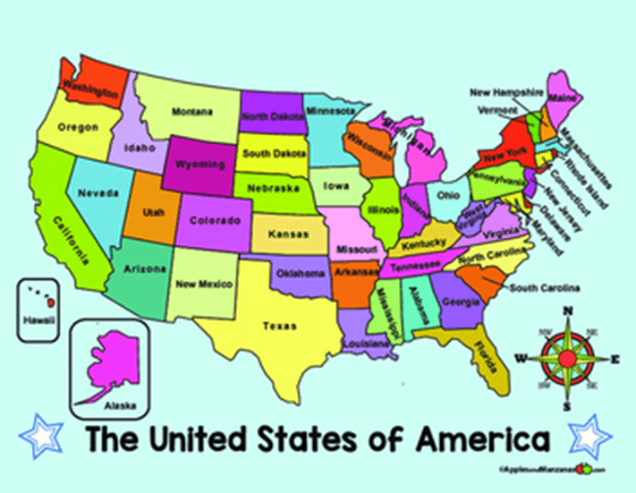
Northwest
300
This climate zone has areas that get moisture in both the summer and the winter, averaging about 50-60 inches annually.
Temperate Climate
400
which globe shows longitude lines and which one shows latitude lines?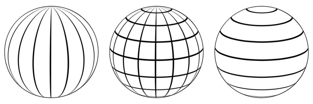
Longitude, Latitude
400
Magma, from the oceanic plates being pushed apart, hardens to build what 3 physical features?
Undersea ridges, Volcanoes, and Islands
400
Where do volcanoes often rise along plate boundaries?
Where one plate plunges beneath another.
400
What are the 6 key map components every map should have?
Title, Legend/Key, Compass Rose, Line Symbols, Colors, and Scale
400
What is a large geographical region characterized by distinctive environmental conditions, such as climate, soil type, topography, natural vegetation, and animal groups.
Biomes
500
What are the 5 circles of Latitude?
-Arctic Circle
-Tropic of Cancer
-Equator
- Tropic of Capricorn
-Antarctic Circle
500
What do many scientists believe that most of the land masses forming our present-day continents were once part of one gigantic supercontinent 500 millions years ago?
Pangea
500
What state in North America still has an active volcano to this day?
Hawaii
500
What are the 4 different types of Maps?
Physical Maps, Political maps, Thematic Maps, Internal Maps
500
What are the 2 factors that affect biome distribution?
Climate and Terrain