Row 1
Row 2
Row 3
Row 4
Row 5
100
What type of map is this?

Physical Map
100

What is the red line?
Prime Meridian
100
What is Site?
Described as the characteristics at the immediate location.
100
The Inuit culture's adaptation to Arctic conditions, the development of farming in plains regions, and the potential influence of climate on societal work ethic
What is this an example of?
Environmental Determinism
100
Define the term Remote Sensing
The use of cameras or other sensors mounted on aircraft or satellites to collect digital images of the earth's surface.
200
What is a potential downside of using highly aggregated data?
A. It shows too much individual detail
B. It may hide important local or regional differences
C. It is easier to misread individual behaviors
D. It cannot be represented on a map
B. It may hide important local or regional differences
200
Define the term Spatial Data
Information that is tied to a specific location on Earth's surface
200
The American West, and Midwest is classified as what kind of regions?
Vernacular Regions
200
Define the term Cultural Landscape
The visible imprint of human activity and culture on the landscape.
200

What is the scale of this map?
National-Regional Scale
300
What type of map is this?
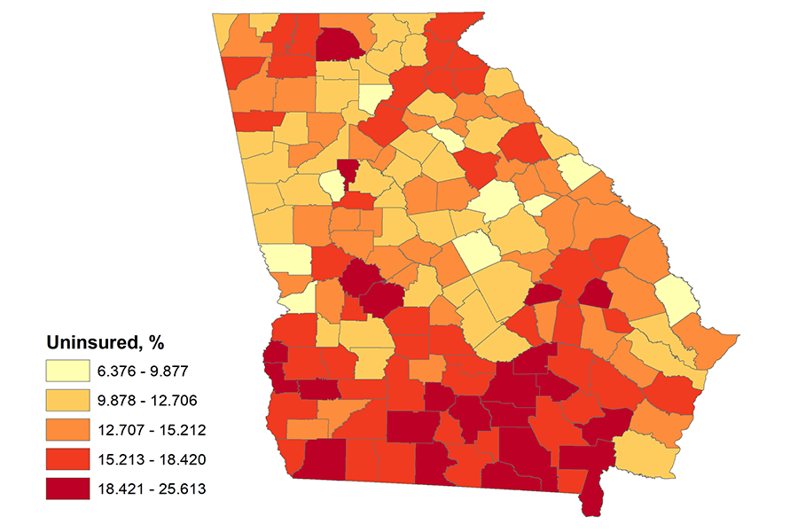
Choropleth Map
300

The images show a topographic map and a geographic information systems (GIS) representation of Mount Shasta in California. Explain why the printed images are geometrically distorted representations of Earth’s surface?
The three dimensions of Earth’s surface are displayed on a two-dimensional page.
300
Define the term Built Environment
All the physical, human-made structures and spaces that people create as part of living on the land.
300

The table shows the types of information collected by a store regarding customer purchases. What type of data could be used in a geographical information system (GIS) to increase sales?
ZIP Code
300
Latitude and longitude may be used to determine what?
Absolute Location
400
A. The island of Java, Indonesia, and its fertile volcanic soil.
B. The altitude and climate of Mexico City because it is located in a highland basin.
C. The location of Istanbul, which is located where Europe and Asia intersect and as a result, it is an important trade location.
D. The city's bedrock of limestone in Paris, France.
E. The type of vegetation near the Nile River in Egypt.
C. The location of Istanbul, which is located where Europe and Asia intersect and as a result, it is an important trade location.
400
The lush golf courses in the United Arab Emirates, the dikes and polders in the Netherlands, and the Three Gorges Dam in China are significant examples of land use.
These examples reflect what viewpoint of human-environment interaction?
Possibilism
400
Name 2 types of Geospatial technologies
GIS
GPS
400
What is an example of Distance Decay?
The weakening of a radio signal as it travels across space away from a radio tower.
400
 Which of the following statements explains the regional location in the United States where the figures shown in the image are most likely part of the cultural landscape?
A. The Northeast, because residents are influenced by British Protestantism.
B. The Southeast, because residents are influenced by traditional religions from West Africa.
C. The Great Plains, because residents are influenced by Native American traditional religions.
D. The Southwest, because residents are influenced by Spanish Catholicism.
The Southwest, because residents are influenced by Spanish Catholicism.
500
What is Time-Space Compression?
It is the shrinking of "time distance," or relative distance , between locations because of improved methods of transportation and communication.
500

A political polling company wants to use census data to collect information on voters in a city by neighborhood. Based on the types of information collected in the survey form, which of the following could be mapped using census data?
The number of voting-age residents per household
500

Relative Location
500
How are Toponyms useful?
They provide insight into the physical geography, the history, or the culture of the location.
500

An international company is looking to expand its network of factories, which use labor-intensive production methods, in a region of the world experiencing significant growth in the working-age population. Based on the data in the table, which of the following regions should the company choose?
Sub-Saharan Africa, which will have the fastest working-age growth rate among world regions from 2015 to 2030