5 Themes of Geography
Latitude & Longitude
Time Zones
Map Basics
GPS vs. GIS and Other Terms
100
Absolute location is __________, while relative location is ___________.
What is absolute location = The exact location of a place, using latitude and longitude coordinates. Relative location = Describes a location in relation to other locations through the use of landmarks, time, or directions.
100
The maximum degree of latitude is this.
What is 90 degrees?
100
These are the names of the time zones in the United States?
What are Eastern Standard Time, Central Standard Time, Mountain Daylight/Standard Time, and Pacific Standard Time?
100
The map below has this type of scale?
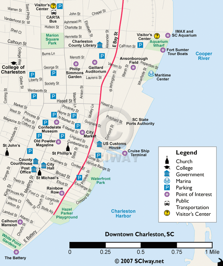
What is a Bar (Graph) Scale?
100
This is a computer system for capturing, storing, and displaying data related to positions on earth’s surface. It helps with urban development, environmental impact analysis, and transportation planning.
What is GIS (Geographic Information System)?
200
For the theme of place, the following example is this type of characteristic.
Some cultural aspects of Charleston include the Gullah culture and the tradition of basket weaving.
What is Human Characteristic?
200
0 degrees longitude is called this.
What is the Prime Meridian?
200
The 24 time zones around the world are created by these lines.
What are Meridians (or longitude) lines?
200
This type of map usually covers a large area, but has less details in it.
What is a small scale map?
200
GPS stands for this and it's function is this.
What is Geographic Positioning System and it uses data from satellites to pinpoint a location on earth to help people find a destination?
300
Using resources such as coal from the Earth to power machinery is an example of this theme of geography.
What is Human-Environment Interaction?
300
The equator splits the world into these two hemispheres.
What is the Northern and Southern Hemisphere?
300
If traveling in this direction, you are gaining hours. But if you travel in this direction, you are losing hours.
What is East, then West?
300
This refers to the presence of a compass rose or an arrow indicating the direction of a map.
What is orientation?
300
This is the process of taking pictures of Earth’s surface from satellites to provide a greater understanding of Earth’s surface.
What is Remote Sensing?
400
The sweet tea line (our states that serve sweet tea in restaurants) is an example of this type of region.
What is functional region?
400
The coordinate(s) that are written incorrectly are...
4.5734 N, 111.3457 E
76.333 S, 20.2243 W
91.8834 N, 183. 4456 E
27.5549 E, 25.77 S
What is 91.8834 N, 183. 4456 E AND 27.5549 E, 25.77 S?
1. Is written above maximum latitude and longitude.
2. East is written before South.
400
If traveling west over the International Date Line, you will _________________.
What is gain a day?
400
This is an inset on the map to show where something is located in relation to other places.
What is a situation?
400
The four cardinal direction are these.
What is North, East, South, and West?
500
This is the acronym to help you remember the five themes of geography.
What is MR. HELP?
500
This state can be found with the coordinate 40 N, 110 W.

What is Utah?
500
This is the time if it is 10 am in California and you travel east to the east coast of Australia.
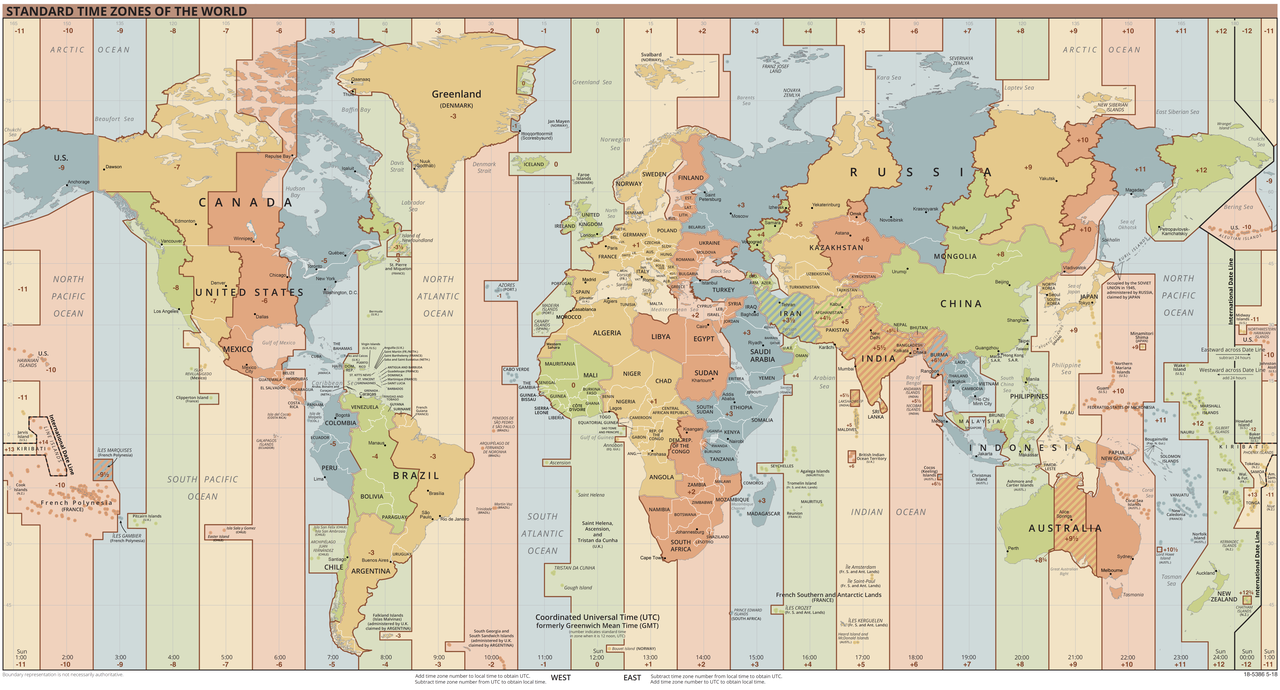
What is 3 a.m.?
500
This is the acronym to help you remember the features of a map.
What is DOGSTAILS?
500
The difference between True North and Magnetic North is this.
What is: True North: The geographic direction that points directly at the North Pole
and
Magnetic North: The direction in which the north end of a compass needle or other freely suspended magnet will point in response to the earth's magnetic field?