Vocabulary
Regions
Types of Maps
Vocabulary etc.
Misc.
100
What is a map projection?
The scientific method of transferring locations on the Earth's surface to a flat map.
100
Give the definition and an example of a formal region
An area in which everyone shares in common one or more distinctive characteristics. The state of South Carolina
100

Mental Map
100
Is Nuclear Energy an example of a renewable or nonrenewable resource?
Nonrenewable resource
100
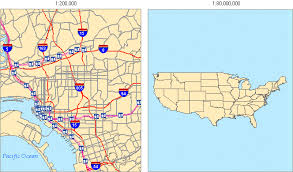
The following image shows small scale and large-scale map. Which image (right or left) shows small scale and IS A WORLD MAP A SMALL OR LARGE SCALE?
Image on the right is small scale, the world is small scale.
200
What is the geographic grid?
system of imaginary arcs drawn in a grid pattern on Earth’s surface
200
Give the definition and an example of a functional region.
A region in which most people share one or more distinctive characteristics. Example, A citys public transportation network, a Restuarant delivery zone, school district.
200
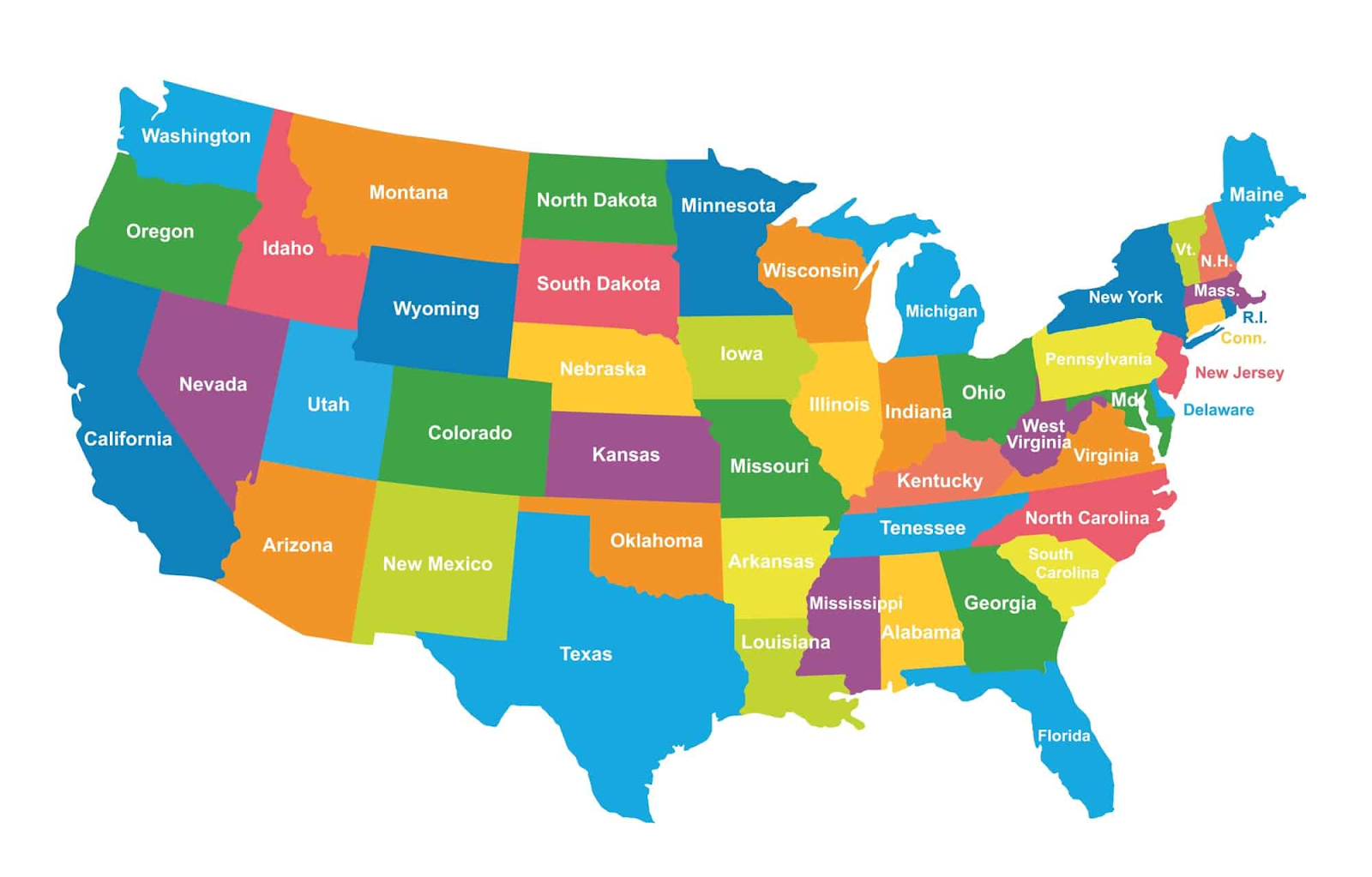
Political Map
200
Give an example of a renewable resource
Solar power, wind power, hydropower, geothermal power
200
Are latitude lines horizontal or vertical?
Horizontal
300
What is map scale and give the two types.
Level of detail and the amount of area covered on the map. Two types are small scale and large scale.
300
Give the definition of a vernacular region with an example.
an area that people believe exists as part of their cultural identity. Ex. The South, The Bible Belt, The Middle East
300
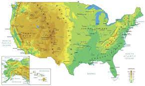
Physical Map
300
What is space time compression?
The reduction in time it takes for something to reach another place
300
Define Possibilism
the theory that environment may affect social development, but that people can react to and master their surroundings regardless of the challenges.
400
What is the definition of the term density?
frequency with which something occurs in space (high or low)
400
what is the definition of the term situation
the location of a place relative to other places
400
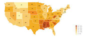
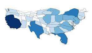
Choropleth map
400
What does GIS stand for and what is the definition?
(Geographic Information Science)- involves the development and analysis of data about Earth acquired through satellite and other electronic information technologies
400
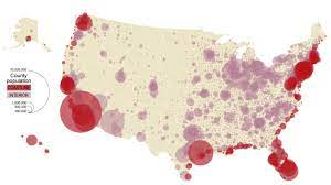
Graduated Symbol
500
What is the definition of the term concentration? What are the two types of concentration?
extent of a feature’s spread over space. Types include clustered and dispersed.
500
What is the definition of the term site?
physical character of a place. Environmental features of a location include climate, water sources, topography, soil, vegetation, elevation.
500
Cartogram
500
What is remote sensing?
acquisition of data about Earth’s surface from a satellite orbiting Earth or from other long distance methods
500
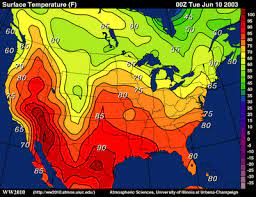
Isoline