On the Map
Name that type of Map
Absolute or Relative
Starts with a "C"
Mislabled Maps
Starts with a "D"
Types of Regions
Name the Projection
200
What part of a map displays the cardinal directions?
The compass
200
Which map type shows human-created boundaries?
Political
200
What absolute or relative term describes this example?: 27.9856 degrees North, 106.8751 degrees West
Absolute location
200
A professional or person who designs, draws, and produces maps
Cartographer
200
Which map type is not pictured here?
Choropleth, physical, political
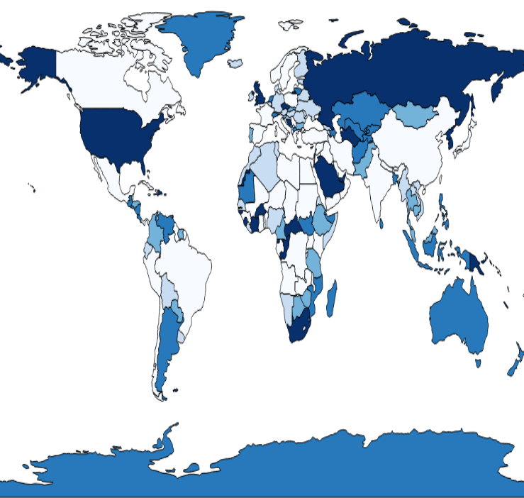
physical
200
What concept can be described using a compass or based on personal perception?
Direction
200
What type of region is Latin America?
Formal
200
Which map projection is the most useful for global navigation?
Mercator
400
What part of a map tells you what the colors and symbols used in it mean?
Map legend/key
400
Which map type shows natural geographic features like rivers?
Physical
400
What absolute or relative term describes this example?: Go North for five miles, then East for two miles
Absolute distance and direction
400
What is the term for the science of mapmaking?
Cartography
400
Which map type is not pictured here?
Isoline, physical, plot
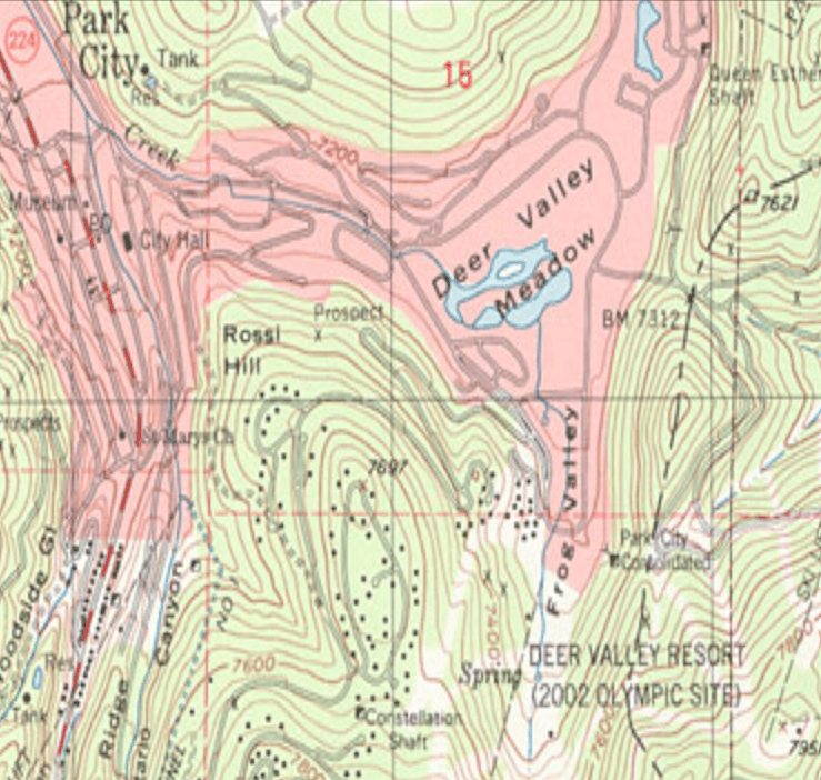
plot
400
The way something is spread out, arranged, or scattered across the Earth's surface
Distribution
400
What type of region is a newspaper delivery area?
Functional
400
Which map projection does not feature latitude lines that converge at both poles?
Azimuthal
600
What lines indicate the distance of something north or south of the Equator?
Lines of latitude
600
Which map type uses shading to illustrate data?
Choropleth
600
What absolute or relative term describes this example?: Southeast of London and North of Paris
Relative location
600
What kind of map uses different shades of colours to show the spatial distribution of data?
Choropleth
600
Which map type is not pictured here?
Graduated symbol, dot distribution, political
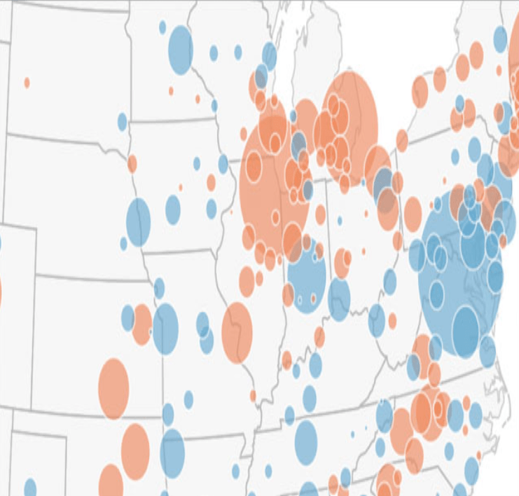
dot distribution
600
What type of map uses spots to show the location of data?
Dot distribution
600
What type of region is the temperate climate zone?
Formal
600
Which map projection distorts the shape but not size of land masses?
Gall-Peters
800
What map feature can be communicated as a ratio or displayed as a line?
Map scale
800
Which map type uses lines that connect at points of equal value to depict variations?
Isoline
800
What absolute or relative term describes this example?: Five minutes away
Relative distance
800
What kind of map shows the size of a place according to some specific statistic?
Cartogram
800
Which map type is not pictured here?
Political, locator, isoline
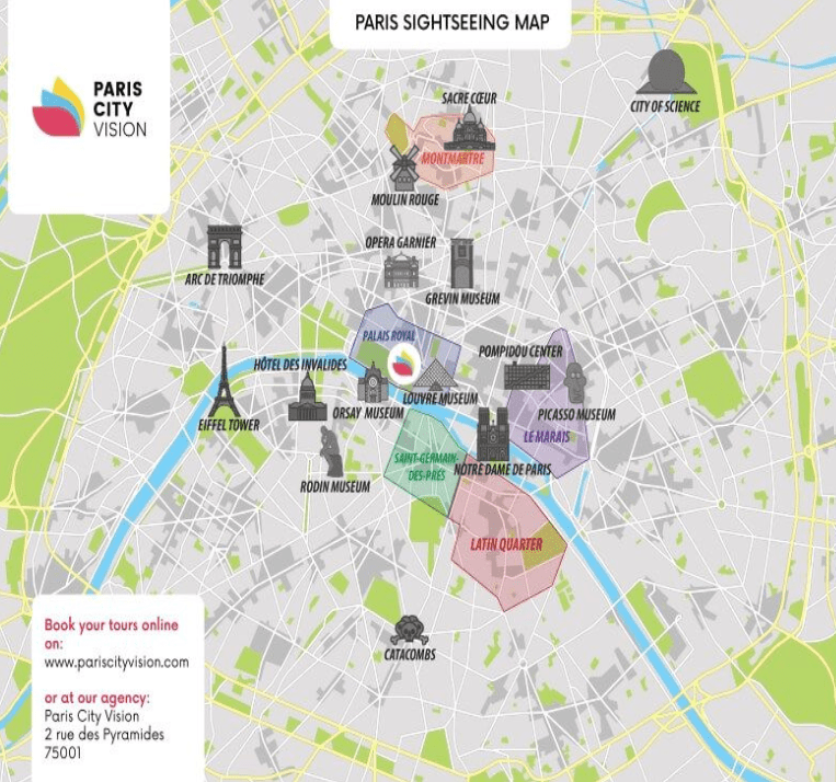
isoline
800
Something that measures how tightly packed or concentrated a feature, event, or value is within a specific land area.
Density
800
What type of region is the Midwest?
Perceptual
800
Which map projection features slight distortions of shape, size, distance, and direction?
Robinson
1000
What is the name of the imaginary line that passes through Greenwich, England?
The Prime Meridian
1000
Which map type shows details of land ownership?
Plat /Plot
1000
What absolute or relative term describes this example?: Take a left, go forward, and take a right
Relative direction
1000
When geographic phenomena are found close together.
Clustering
1000
Which map type is not pictured here?
Plot, locator, road
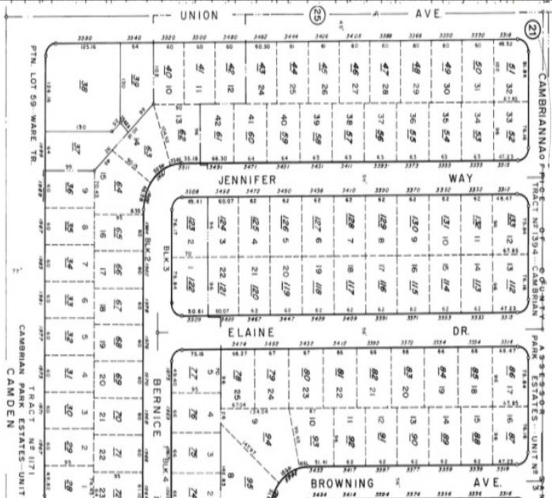
locator
1000
The measure of separation between two or more places, points, or objects on the Earth's surface.
Distance
1000
What type of region is the London Underground subway system?
Functional
1000
Which type of map projection is mainly useful for thematic mapping? Its main drawback are the visible interruptions or "cuts" that break the continuity of the map.
Goode Homolosine