Clouds
Air Masses
Forecasts
Severe Weather
Fronts
100
This way of creating clouds involves wind being forced upwards by mountains.
Orographic Uplift
100
This air mass is found at the North Pole
Continental Arctic
100
Based on an old saying, you would expect to find this type of weather given a red sky in the morning.
Bad weather/stormy weather
100
This type of alert indicates the right conditions for a tornado without actually spotting one.
Tornado Watch
100
This type of front is slow moving and can cause light nimbostratus precipitation
Warm Front
200

Name this type of cloud
Cumulus
200
This term describes the locations that air masses form over
Source regions
200
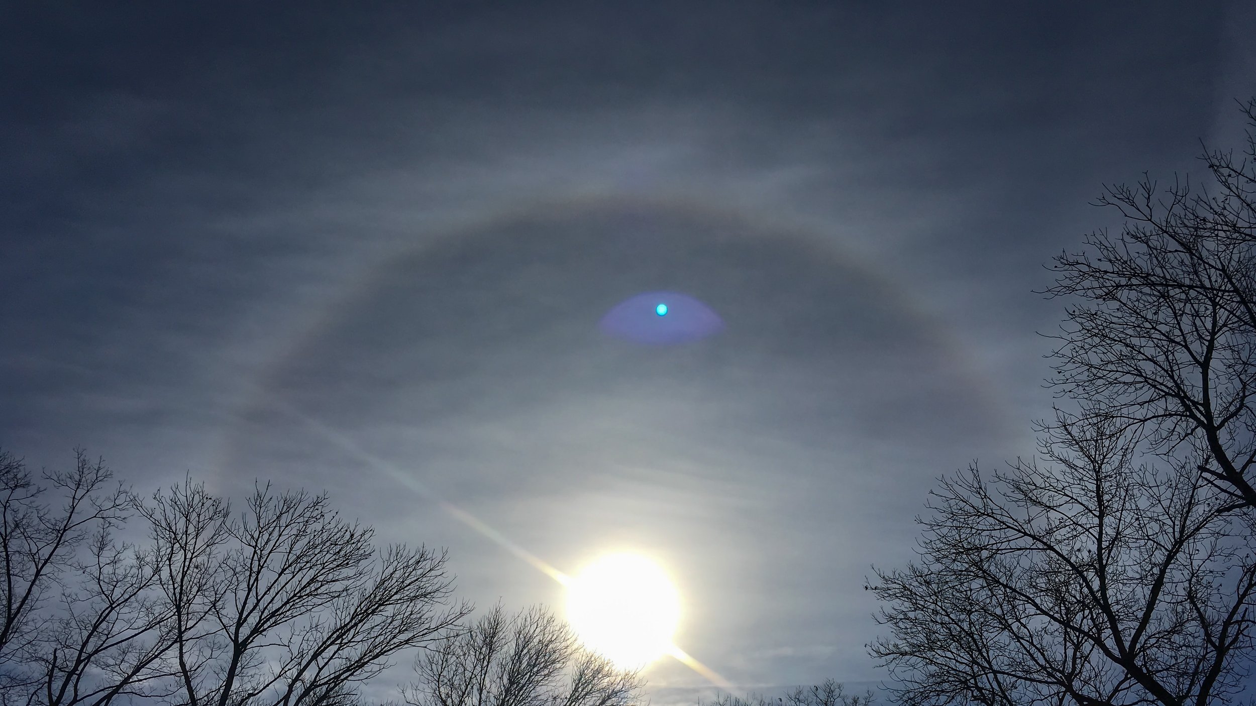
Beginning with clouds that make the sun have a halo, the clouds get thicker and lower over the course of 24-36 hours. What is the most likely front?
Warm Front
200
Name the three stages of a thunderstorms life cycle
Towering cumulus
Mature
Dissipating
200
This type of front occurs when one front overtakes another front.
Occluded Front
300
Name this type of cloud
Cirrostratus
300
This is the process required to turn a mP air mass into a cP airmass as it moves
Air Mass Modification
300
The current conditions are identical to a day before a massive storm two years ago. A meteorologist uses this information to predict there will be a storm tomorrow.
What type of forecasting is this?
Analog Forecasting
300
This describes the process that begins the rotation of air prior to a tornado. Usually caused by the collision of airmasses.
Wind shear
300
This type of front might cause long lasting rain showers
Stationary front
400
These are the two types of clouds that usually produce precipitation
Nimbostratus
Cumulonimbus
400
This airmass is the most likely to form a hurricane
Maritime Tropical
400
This type of forecast can be relatively accurate but will generally be very vague. (Ex. This region will have more rain than usual)
Long term forecasts
400
This term describes the first stage of a hurricane involving rotation and 23-39 mph winds.
Tropical Depression
400
This type of front can result in squall lines
Cold Front
500
Name this type of cloud

Altocumulus
500
These air masses are most likely to form a tornado.
Continental polar and maritime tropical
500
This is the limitation on numerical forecasting due to the lack of stations/weather technology to build more accurate models
Low Data Density
500
Which would generally have higher wind speed, a category 5 hurricane or an EF-5 Tornado?
EF-5 tornado (>200 mph) (Hurricane is >157 mph)
500
Tell the wind speed and direction shown by this station model

20 Knots, South West