Continents
Oceans
Land Landforms
Water Landforms
Maps
100
What is the name of the continent we live in?
North America
100
What are the names of all of the 5 oceans?
Pacific, Atlantic, Arctic, Southern, and Indian
100
This landform looks like a hanging rock and sometimes has a stream of water flowing from it.
Cliff
100
This landform is a stream of water that flows from a cliff
Waterfall
100
What are the names of the four directions on a map?
What special symbol shows these directions on a map?
North, South, East, West
Compass Rose
200
What are the names of all of the 7 continents?
North America, South America, Europe, Asia, Africa, Australia, and Antarctica
200
What is the name of the continent above the Indian Ocean?
India
200
This landform is a low area of land between two hills or mountains.
Valley
200
In very cold places, water can turn to ice and make this landform.
Glacier
200
What is a map key used for?
To explain the meaning of the symbols/pictures on a map.
300
This continent is the largest continent
Asia
300
Why is ocean water salty?
Rain water falls on minerals and rocks and these rocks are carried by water to the ocean and leave salt behind.
300
This landform has water on three sides of it and looks like Florida
Peninsula
300
This narrow body of water is smaller than a river
Stream
300
Maps can show many different things. What are two types of maps we have looked at during WIN?
Physical map, road map, Climate map, resource map, political map
400
This continent is the smallest continent and is also a country
Australia
400
What two oceans are next to North America?
Pacific and Atlantic
400
This landform is a mound of sand formed by blowing wind or water and can be found in the Sahara Desert in Africa.
Sand dune
400
This landform is a small area of sea or lake partly enclosed by land.
bay
400
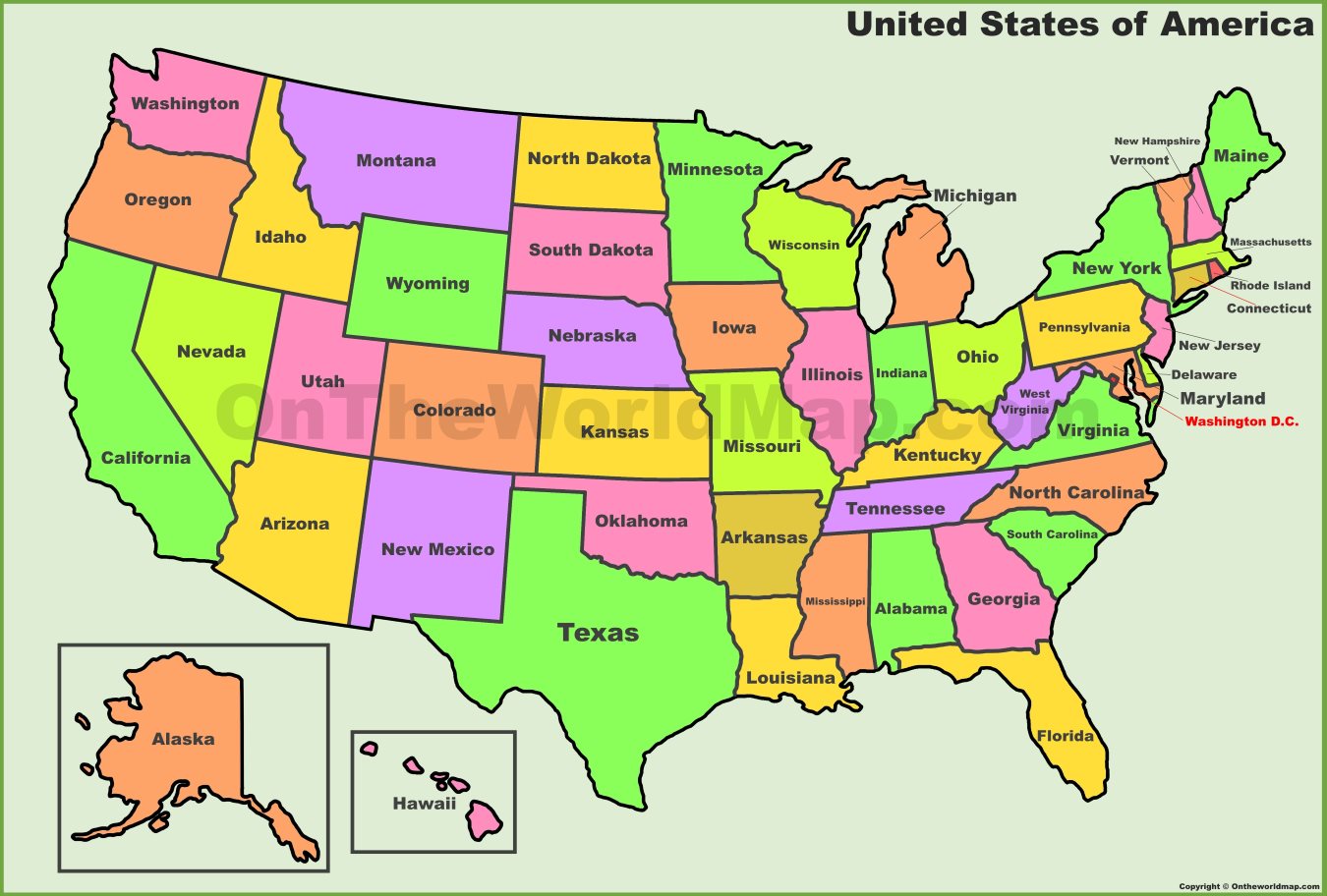 What state is WEST of Massachusetts?
New York
500
This continent is near the South Pole
Antarctica
500
The five oceans all together make up ____% of the Earth
71%
500
This landform is a hollow underground chamber.
Cave
500
This landform is a large body of water surrounded by land on all sides
Lake
500
What state is SOUTH EAST of California?
Arizona