Maps
Regions
Climate
Vegetation
Culture
100
This type of map shows countries, states, cities and political boundaries.
Political map
100
Define a region using one unifying characteristic and give one simple example.
A region is an area with shared characteristics.
Example - Sahara Desert - arid climate/landforms.
100
What is the primary factor that determines large-scale zones on Earth?
Latitude
100
Which vegetation region is characterized by dense forest and high biodiversity near the Equator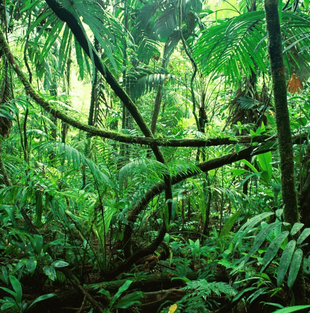
Rainforest
100
Give two examples of cultural characteristics used to define cultural regions.
Language and Religion
(also Customs, Cuisine, Architecture)
200
Name two map components that help a user determine direction and distance.
Compass Rose (direction) and Scale (distance); also
legend/key (supports interpretation)
200
What is a functional region?
Give one classroom-friendly example.
Functional region centers on a hub and its interaction.
ex. a city and its commuter suburbs.
200
Name the three major climate zones based on distance from the Equator.
Tropical, Temperate, Polar
200
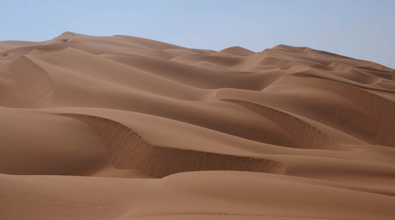 What type of vegetation region has sparse plants adapted to limited water?
Desert
200
What is cultural diffusion?
Provide one example.
Cultural diffusion is the spread of ideas/traits
Ex. spread of pizza from Italy to many countries
300
Which map projection greatly distorts area near the poles and was historically used for navigation?
Mercator
300
How does a perceptual region differ from a formal region?
Provide one real-world example of a perceptual region.
Perceptual regions are based on people's beliefs/identity
Ex. "The South"
Formal regions are defined by measurable traits
Ex. Spanish-speaking Mexico
300
List two other factors (besides latitude) that affect a location's climate and briefly explain one of them.
Elevation (higher = cooler)
proximity to water (maritime effect moderates temperatures
Rain Shadow reduces precipitation
300
How are vegetation regions related to, but different from, climate regions?
Vegetation depends on climate but is classified by plant types; climates describe atmospheric conditions while vegetation describes biological cover.
300
Explain how physical environment and available resources influence cultural practices
Give one specific example
Environment shapes food, shelter, clothing
ex. coastal fishing cultures rely on seafood diet and boat technology
400
Explain the difference between absolute location and relative location and give one example of each.
Absolute location - uses coordinates (ex. 38 degrees N, 77 degrees W),
Relative location - uses reference to other places (ex. "north of the river")
400
Explain why a single place (for example, Pittsburgh) can belong to multiple types of regions.
Give two different region types that could include Pittsburgh and a brief reason for each.
Pittsburgh: Formal = Rust Belt (shared industrial history); Functional = Pittsburgh metro (economic/transport hub)
400
What is a climograph and which two climate variables does it typically show?
Temperature and Precipitation
**Remember the other factor they look at for overall climate is Seasons
400
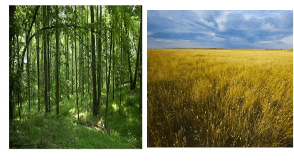 Give two examples of vegetation types found in temperate zones and explain one human activity that changes a vegetation region.
Temperate deciduous forest and grassland;
Human activity - agriculture converting forests to cropland
400
Identify two areas of intellectual exchange between cultures and give a historical or modern example of one exchange.
Examples: Mathematics exchange (Arabic numerals from India through Islamic scholars to Europe)
Medicine (Ancient Greek texts influencing Islamic Golden Age and later European medicine)
500
Describe how cartography and map projections can reflect a creator's point of view or purpose;
include one name projection (other than Mercator) as an example.
Cartographers choose projections and features to emphasize certain information.
Ex. Gall-Peters emphasizes area equality to challenge Eurocentric size perceptions.
500
Describe how regional labels or perceptions might change over time - give one historical or modern example.
Economic shifts, migration, or political change can rename regions
ex. post-Cold War shifts in Eastern Europe perceptions.
500
Explain how ocean currents can make a region's climate warmer or cooler than expected for its latitude;
include a named example.
Warm currents (ex. North Atlantic Drift) carry heat and poleward and Europe relative to similar latitudes.
500
Describe how elevation can change vegetation types over short horizontal distances (mountain example).
As elevation increases, temperature drops and vegetation shifts from deciduous forest to coniferous forest to alpine tundra
ex. Andes or Rockies
500
Describe how cultural regions might be noncontiguous yet still link people;
Provide one clear example and explain the linking cultural trait.
Diasporic cultural regions
example - Jewish or Punjabi communities worldwide
linked by shared language, religion, cuisine and traditions.