Terms to Know
Terms to Know 2
Map & Globe Skills
Find that Location
Long. and Lat.
100
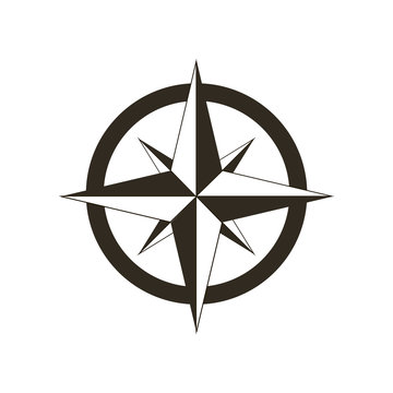
This item is on a map and shows directions.
Compass Rose
100
A picture that is used to represent an object on a map.
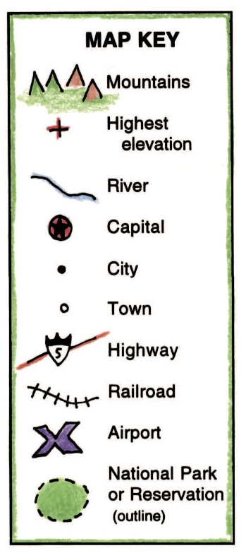
Symbol
100
Name 4 the oceans
Pacific, Atlantic, Arctic, Indian
100
Look at page 14 in your atlas . What does this symbol mean?

Mountain Peak
100
0 degrees latitude is also called the...
What is equator
200
An area on the map that shows what each symbol represents.
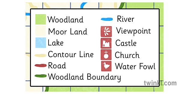
Map Key/ Legend
200
Name the 4 cardinal directions
North, South, East, and West
200
Name the 7 continents
Asia, Africa, North America, South America, Antarctica, Europe, and Australia
200
Look on pages 50-51. Use the map key to find the National Capital
Washington D.C.
200
0 degrees longitude is also called...
What is Prime Meridian
300
The line at 0 degrees ( ° ) latitude is also known as ___________________.

Equator
300
Name the for 4 intermediate directions.
Northeast (NE), Southeast (SE), Southwest (SW), and Northwest (NW).
300
What is an Atlas?
A book of Maps
300
Look at page 50 in your atlas. What state is 40°N, 110°W?
Utah
300
Just above the Equator is also called the _______ Hemisphere.
What is North
400
An imaginary line that runs through the center of the earth.

Prime Meridian
400
This tool helps measure the distance from place to place on a map.
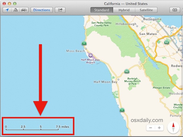
Map Scale
400
What 3 countries make up North America?

Canada, The United States of America, and Mexico
400
Look at pages 14-15. What ocean is
20°S, 90E°
Indian Ocean
400
The place where latitude and longitude grid lines cross is called _________.
What is global address
500
These lines run east to west, but they separate north and south.
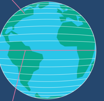
Latitude
500
Lines that run north and south but they separate east and west. 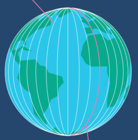
Longitude
500
What continent is northeast of Africa
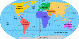
Asia
500
Look at page 14 in your atlas. What continent is
(0°, 40°E)
Africa
500
Line of latitude run _______ to ________.
What is east to west.