North America Geography
Native Facts
Maps
Hodgepodge (Random)
100
This is the ocean that borders the Eastern United States (Our Ocean)
What is the Atlantic Ocean?
100
This is the sacred animal to the tribes in the Great Plains
What is a Buffalo (Bison)?
100
This is the name of the imaginary line that divides the Earth into the Northern and Southern Hemispheres
What is the Equator?
100
This body of water holds the most amount of water
What is an Ocean?
200
These are the three biggest countries in North America
What are Canada, United States, and Mexico
200
Why did tribes in the Great Plains build Teepees?![]()
Teepees were built to be easily moveable so the tribes can take them down quickly to follow the Buffalo
200
This is the name of the imaginary line that divides the Earth into the Eastern and Western Hemispheres.
What is the Prime Meridian?
200
What is this???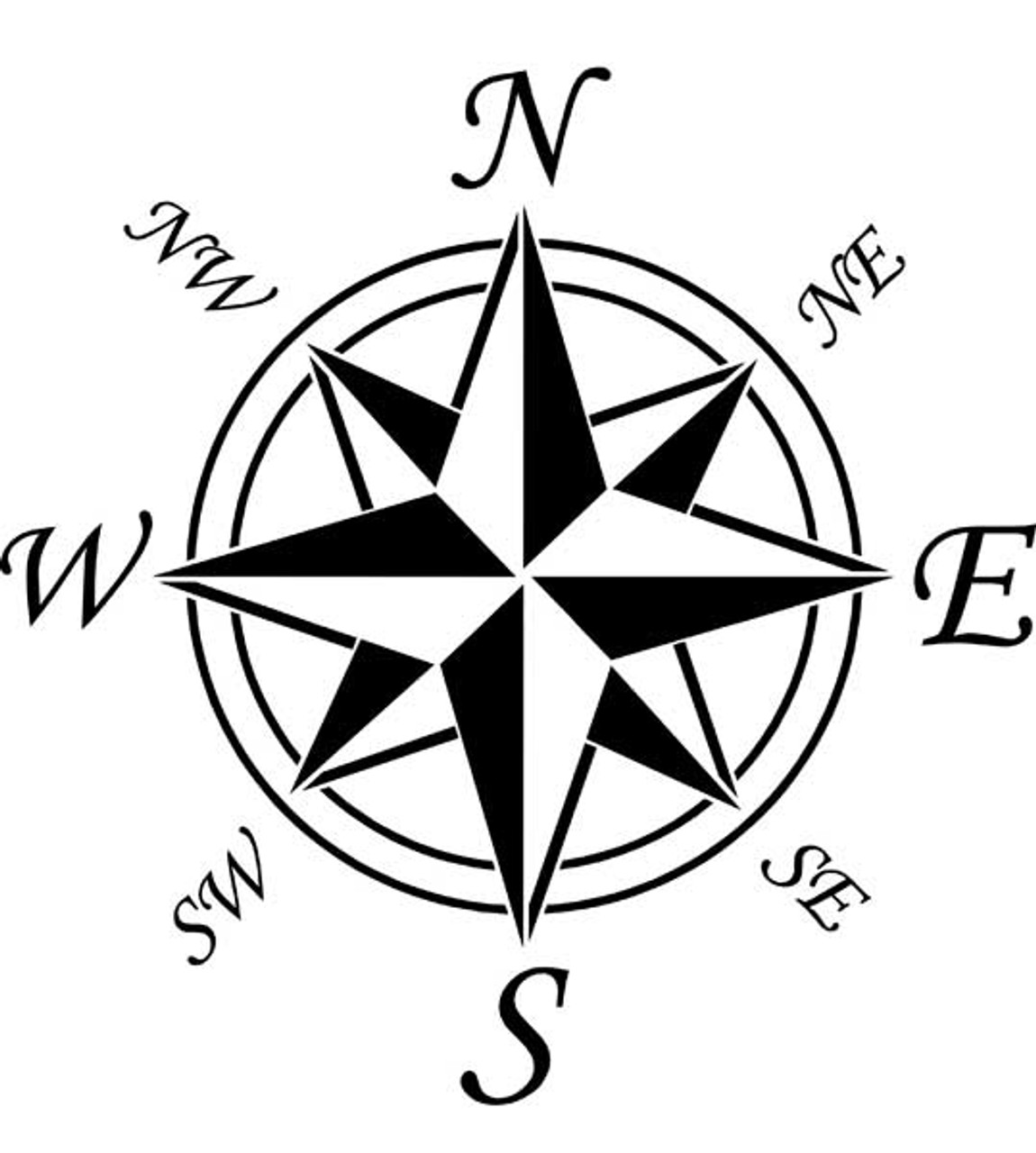
A Compass Rose
300
Which Mountain Range is on the Eastern side of the United States?
What are the Appalachian Mountains
300
What is the purpose of this?

To stop the sun glare on ice and snow
300
What kind of map is this?

What is a Political Map?
300
What is an Ice Age?
A period of time when the Earth was covered mostly in Ice
400
This is the biggest river in the United States
What is the Mississippi River?
400
What was the climate like where the pueblo lived?
A: Cold and wet
B: Hot and Dry
C: Warm and Rainy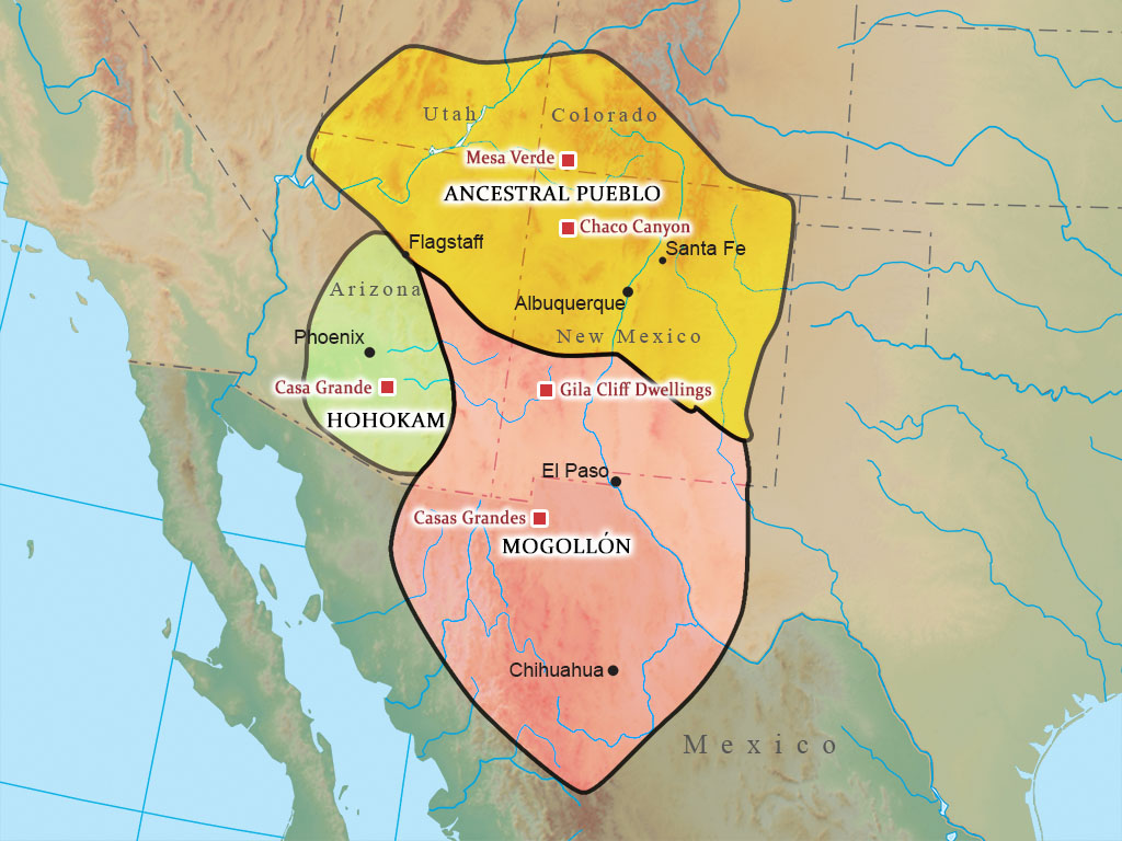
B: Hot and Dry
400
This is the purpose of a physical map
What is showing the natural landforms on Earth?
400
The Bill of Rights
Primary or Secondary Source
Primary!
500
This state has the biggest Desert in the United States
What/Where is Arizona?
500
What are the purpose of totem poles?
To represent family history and important people in the tribe
500
This is the purpose of this map
What is showing Human Migration routes to the Americas?
500
These are the two continents that the Bering Straight connected
What are Asia and North America?