Vocabulary
Geography and Natural Resources
States and Capitals
Fun Facts
Map Skills
100
What is a triangle-shaped area of land at the end of a river?
A delta
100
What is an example of a natural resource?
Land, ocean, forest, mineral, fuels. Any resource found in nature.
100
What state's capital is Nashville? 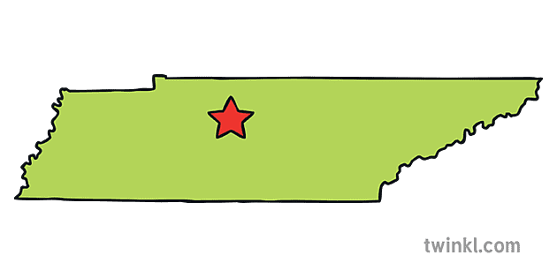
Tennessee
100
What was England's first American colony?
(Hint: We are looking for the city and state!)
Jamestown, Virginia
100
What does the star in a state map mean?
This is the state capital.
200
What is a stream that flows through a swamp?
A bayou
200
What do we use iron ore to make?
Steel
200
What is Florida's state capital? 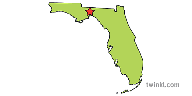
Tallahassee
200
What state is Everglades National Park in?
Florida
200
Where can you look to find an explanation of symbols on a map?
The map key
300
What is a storm with heavy rains and high winds that develops over the ocean and often moves toward land?
a hurricane
300
What mountain range goes through the southeast and has peaks as high as 6,000 ft?
The Appalachian mountains
300
What state's capital is Columbia? 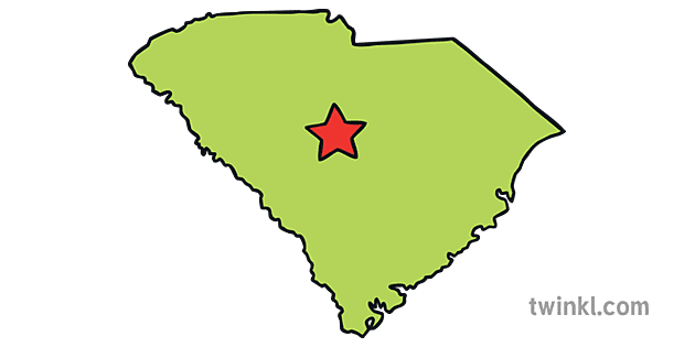
South Carolina
300
What city in Louisiana was the birthplace of Jazz music?
New Orleans
300
Is the brown part of this map a higher or lower elevation than the green part?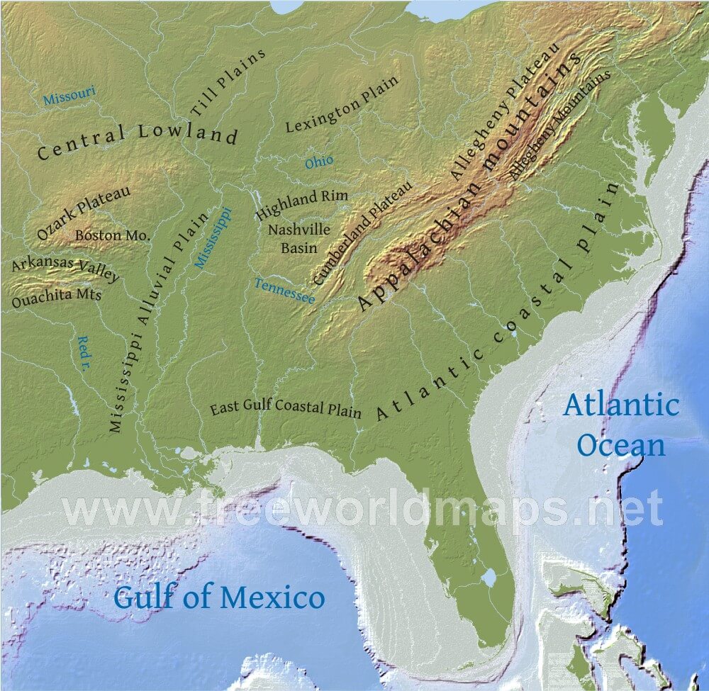
Higher
400
What is an imaginary line, marked by rapids and waterfalls, where rivers start to drop from higher land to lower land?
A fall line
400
What port city is at the tip of Florida and often referred to as the "Gateway or America"?
Miami
400
What is Kentucky's state capital? 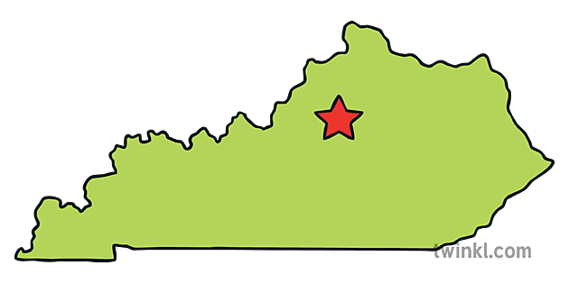
Frankfort
400
What city is the birthplace of blues music?
(Hint: We are looking for city and state!)
Memphis, Tennessee
400
Why is this on a map? 
It allows us to know what directions to look in on the map.
500
What is an organized economic activity connected with the production, manufacture or consumption of a product or range of products.
An industry
500
What is a Piedmont?
French for "foot of the mountains"
Foothill, or hilly region at the base of a mountain range.
500
What state's capital is Jackson?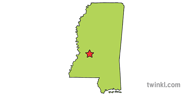
Mississippi
500
Who lead protests against bus segregation in Montgomery, Alabama and gave the famous "I have a dream" speech?
Martin Luther King Jr.
500
What is this feature on a map used for? 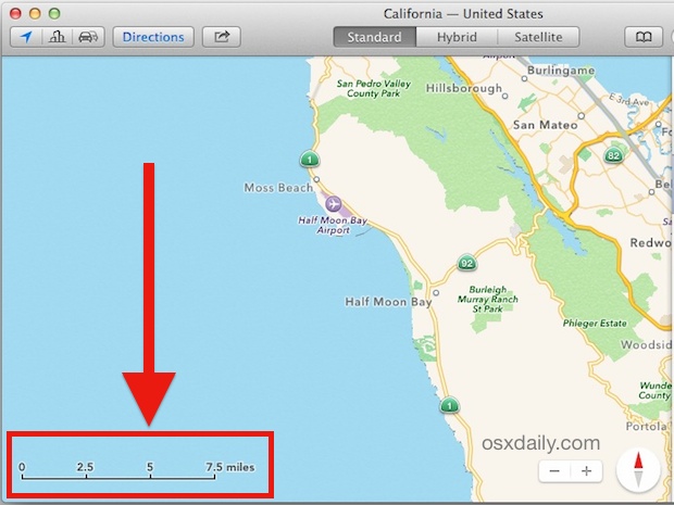
It is the scale. It shows the relationship between distances on a map and real distances on Earth.