Arab World
1.1 Maps
1.2-1.3 Geographic Data
1.4-1.5 Space and the Environment
1.6-1.7 Regions and Analysis
100
What country is this?
Saudi Arabia
100
What are the two main types of maps?
Reference and Thematic maps
100
What data collection is used by the Google Maps Street View car?

Ground-level photography
100
Name 2 renewable resources.
air, water, wind, biomass, the sun, plants, animals, etc
100
What is the scale of this map?
Global
200
What is the capital of Syria?
Damascus
200
What's the name of this line of longitude?
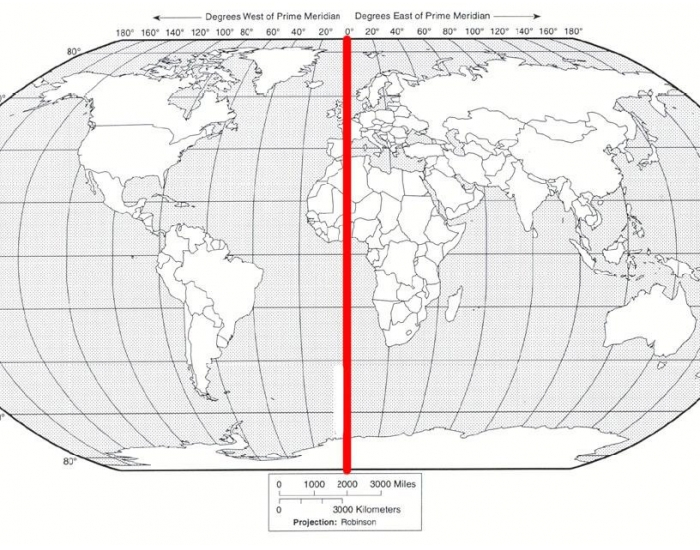
Prime Meridian
200
Which geospatial technology uses receivers on earth and locations from satellites to determine exact location?
Global Positioning System (GPS)
200
What term means the name of a place?
Toponym
200
What are the 5 scales of analysis?
Global, global regional, national, national regional, local
300
What country is this?
Libya
300
What type of map uses colors or patterns to show the location of spatial data?
Choropleth map
300
The US Census is a report of how many people live in the US, broken down by state, county, city, and other smaller categories. Federal workers go to different cities and visit households. Workers survey families and individuals.
What type of data collection method does this describe?
Fieldwork
300
What term describes the effort to use resources now in ways that allow their use in the future while minimizing negative impacts on nature?
Sustainability
300
What is the term for a region that shares one or more political, physical, cultural, or economic trait?
Formal/unified/homogenous region
400
What country in Africa borders Algeria, Mauritania, and Western Sahara?
Morocco
400
What type of thematic map is this?
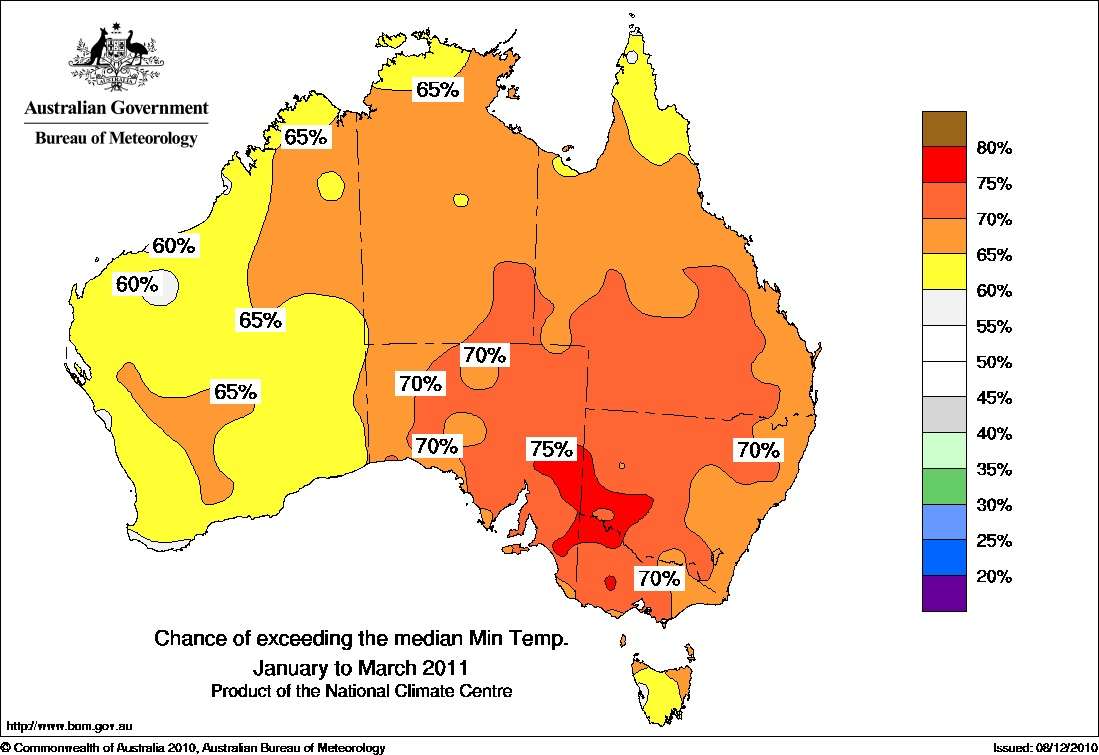
Isoline/Isometric map
400
What data collection method takes professional images captured from planes within the atmosphere?
Aerial photography
400
Which theory of cultural ecology best describes Dubai, where people used innovation and technology to make use of otherwise bad land?

Environmental Possibilism
400
On the map below about educational success in the US, what is the scale of analysis of the data?

Local
500
What is the capital of Somalia?
Mogadishu
500
Which map projection has the least overall distortion and can be used more general purposes?
Robinson Projection

500
Describe a reason geographers might use remote sensing to collect data.
Determining land use, environmental changes, weather, inaccessible places, and the spread of phenomena.
Ex: Collecting information from North Korea.
500
What is time-space compression?
the shrinking of time-distance between locations because of improved methods of transportation
500
What sparsely populated region in Russia has a cold tundra climate with abundant natural resources ?

Siberia