Continents & Oceans
Map Skills
Physical Geography
Random
100
Which continent is highlighted?
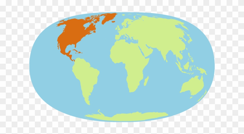
North America
100
What is a map called that shows only man-made features?
Political Map
100
What is a chain of islands called?
Archipelago
100
What does the GEO of geography mean?
Geo = Earth
200
Which continent is highlighted?
South America
200
What type of map is this?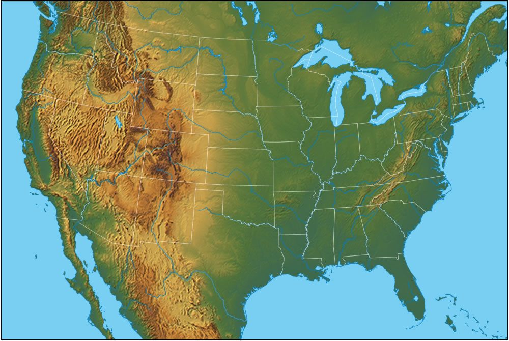
Physical Map with Political Boundaries
200
Land that is surrounded by water on three sides is called a ___________________.
Peninsula
200
What are the four CARDINAL DIRECTIONS?
North, South, East, West
300
Which continent is highlighted?
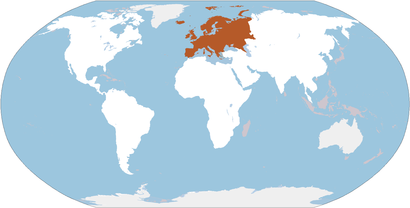
Europe
300
What type of map is this? Political, Physical, Thematic

Political
300
Where do most rivers start?
In the highlands.
300
What is the main line of LONGITUDE called?
Prime Meridian or International Dateline
400
Which ocean is highlighted?

Atlantic Ocean
400
What is a map called that shows physical features but also shows man-made boundaries?
Hybrid Map
400
What physical feature connects two large bodies of water?
Strait, Canal, or Sound
400
Which is bigger:
City, Town, or Village
City
500
Which continent is also a country?
Australia
500
I want to go from Georgia to Arizona. Which direction do I need to go? 
West
500
(400 points)-A river always ends with a ________________. (100 points)- if you can tell me the shape.
Delta
Shape of a trianlge
500
100 points for each essential part of a map you can name. (HINT-There are 6)
Title, Source, Key/Legend, Scale, Inset Map, Compass