We are currently on this continent.
What is North America?
This is a flat representation of the earth.
What is a map?

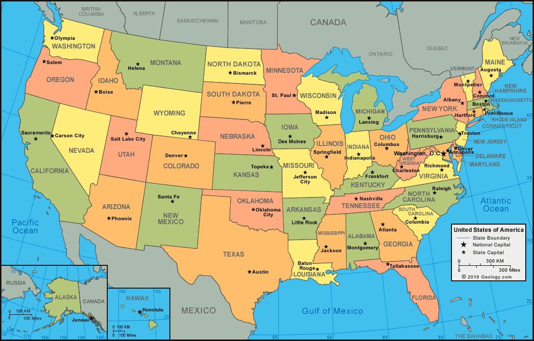
What is a political map?
This is the state of the atmosphere at a place and time as regards heat, dryness, sunshine, wind, rain, etc.
What is weather?
This region of Africa includes the following countries: Morocco, Algeria, Libya, Egypt, Tunisia, and Sudan.
What is North Africa?
This is the number of continents currently on Planet Earth.
What is 7?
The advantage of this type of geography model is that it's round, making it a more accurate depiction of the earth.
What is a globe?

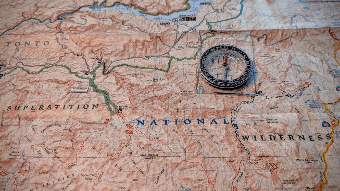
What is a topographic or physical map?
This is the weather conditions prevailing in an area in general or over a long period.
What is climate?
This is the largest hot desert in the world.
What is the Sahara Desert?
This is the largest continent in the world.
This part of a map shows the cardinal directions.
What is a compass rose?
This type of map shows national boundaries and borders, along with things like country names.
What is a political map?
These are the less scientific terms for flora and fauna.
What are plants and animals?
This continent is actually the world's largest desert.
What is Antarctica?
This part of a map lists and explains the symbols and colors used.
What is a map key?
This type of map shows physical features, like mountains and elevation.
What is a physical or topographic map?
These are natural characteristics of the Earth's surface, also known as landforms, including oceans, mountains, rivers, islands, caves, and valleys
What are physical features?
This is the smallest continent in the world.
What is Australia/Oceania?
This part of a map can be used to figure out the distance between two locations.
What is a map scale?
This type of map provides a visual representation of information, like climate, weather, languages, religions, etc.
What is a thematic map?
This is study of the Earth's natural features, including land formation, climate, currents, and the distribution of flora and fauna
What is physical geography?