Physical Maps
Political Maps
Trinidad and Tobago
Coral Reefs
Threats to Coral Reefs
100
What part of a map tells us what the map is about?
Title
100
Draw a compass on the whiteboard.
![]()
100
What are the names of the two cities in Trinidad?
Port of Spain, San Fernando
100
What is the tiny animal that builds the reef?
A polyp
100
What is it called when a hot coral turns white?
Coral Bleaching
200
What do we call the pictures on a map that represent real things?
Symbols
200
This map feature explains what all the symbols mean.
Key
200
Name one of the three mountain ranges of Trinidad
Northern, Central, Southern Range
200
Where in the water do you usually find coral reefs?
Shallow where there is sunlight
200
Name one of the "3 R's" that helps stop plastic pollution.
Reduce, Reuse, Recycle
300
True or False: This is a physical map
True
300
True or False: a map that shows the elevation of mountains is a political map
False
300
Name the body of water to the West of Trinidad
Gulf of Paria
300
Name one coral reef
Answer can vary
300
Name one threat to coral reefs (besides hot water).
Pollution, plastic, overfishing, etc
400
What is the main focus of a physical map?
To show the earth's physical features/landforms.
400
What can you find on a political map that you cannot find on a physical map?
Boundaries, roads, structures
400
Is Chaguanas a borough, city or region?
Borough
400
What tiny plant lives inside the coral and gives it food and color?
Algae
400
How can you help protect the reef when you go to the beach?
Ms. Bruce decides if the answer is appropriate
500
Give one example of something you should NOT be able to find on a physical map.
Any manmade structure
500
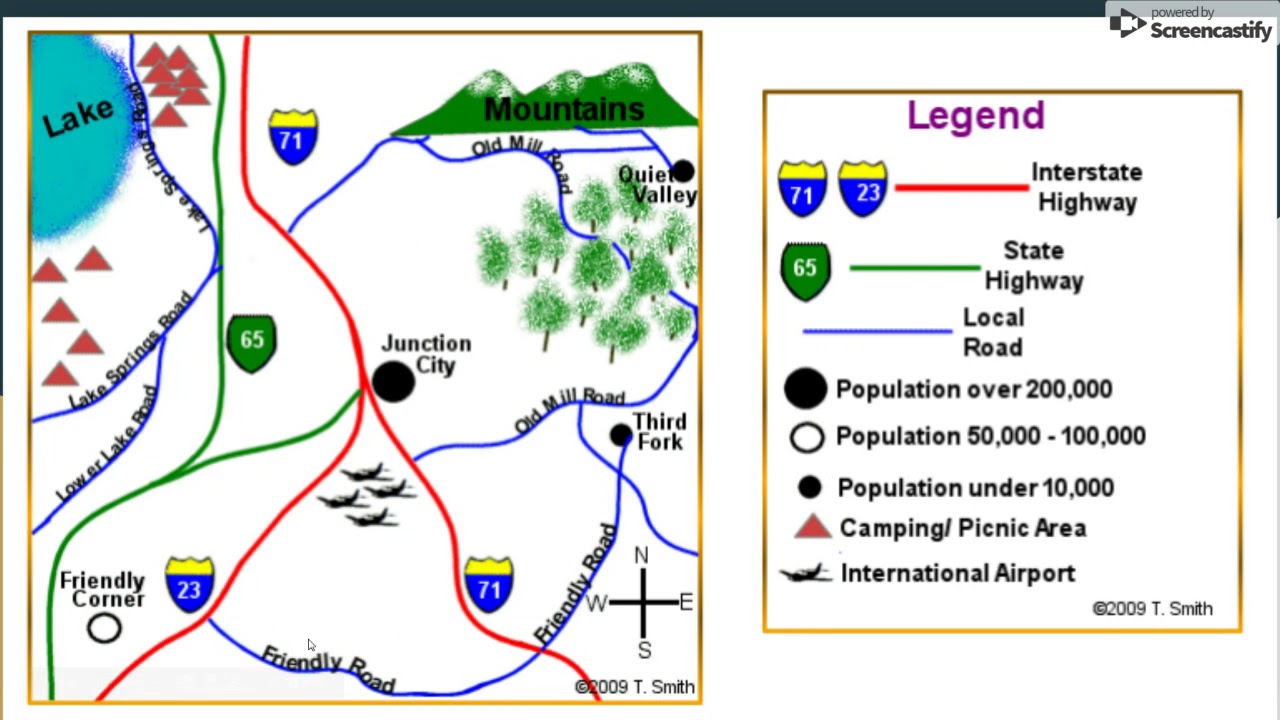 What is this map missing?
A title
500
Give an example of ONE of the regions of Trinidad and Tobago.
Diego Martin, Tunapuna–Piarco, San Juan–Laventille, Couva–Tabaquite–Talparo, Sangre Grande
Mayaro–Rio Claro, Penal–Debe, Siparia
500
Why are coral reefs important for protecting the coast?
They act as a barrier to block big waves/storms
500
This threat is when too many fish are caught, throwing the reef out of balance.
Overfishing