Geography
Geographic Thinking Concepts
Latitude and Longitude
Map Projections
Misc
100
The term for a person who studies the physical Earth and how human interactions affect it.
What is a Geographer?
100
The type of geography that human migration falls under.
What is human geography?
100
Another term for latitude lines.
What are parallels?
100
The term for a person who creates or updates maps.
What is a cartographer?
100
The three things to consider in the concept of patterns and trends.
What are concentration, patterns of dispersion, and interconnectedness?
200
The definition of Geography.
What is the study of the Earth?
200
The geographic thinking concept that identifies the connection between the physical environment and human activities.
What is interrelationships?
200
Another term for longitude lines.
What are meridians?
200
The most well-known map projection.
What is the Mercator Projection?
200
The Gall-Peters Projection Map is known for.
What is its focus on accurately representing the relative sizes of Earth's landmasses?
300
The breakdown of the word Geography.
What is Geo as Earth and Graphein as to write or description?
300
The term for large geographical regions that have distinct biodiversity of flora and fauna.
What are Ecozones?
300
Lines that run east-west around the globe and measure distances north or south of the equator.
What are lines of latitude?
300
The advantage of the Mercator Projection.
What is it is ideal for navigation due to its preservation of straight lines and angles?
300
Occurs when you try to put something round on a flat surface.
What is distortion?
400
The two W's Geographers as themselves.
The WHY of the WHERE
400
The definition of environmental stewardship.
What is caring for and being accountable for the Earth's environment?
400
Lines that run north-south around the globe but measure the distances east-west of the prime meridian.
What are lines of longitude?
400
The distortions of Robinson Projection.
What are precise distances and angles?
400
The four distortions when creating flat maps of a round Earth.
What are shape, distance, relative size, and direction?
500
The five Geographic Thinking Concepts.
What are interrelationships, spatial/geographic significance, evidence and interpretations, geographical perspectives, ethical dimensions, patterns and trends?
500
The concept that explores connection between geographic location and the physical characteristics of a location.
What is Spatial/Geographic Significance?
500
The order of coordinates.
What is (latitude, longitude)?
500
The shape of interrupted projection.
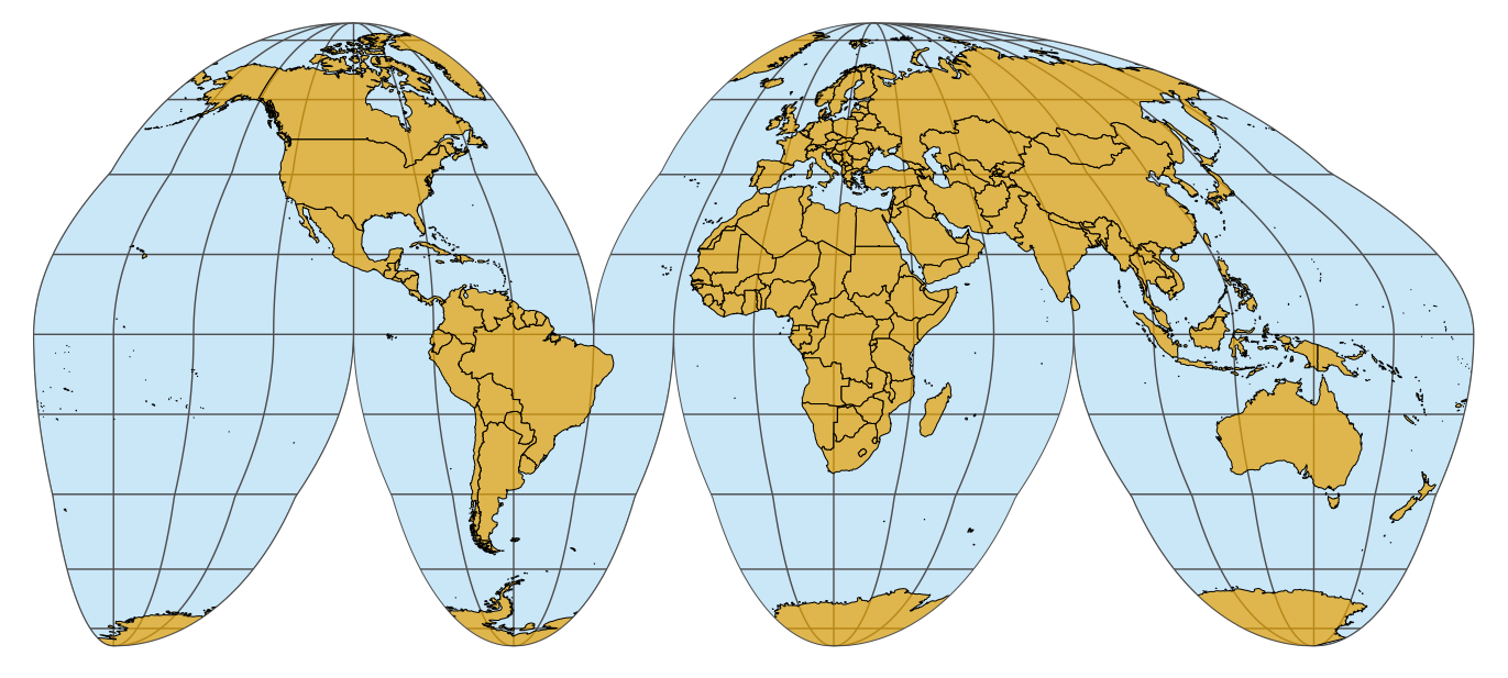
500
The term that describes how things are spread out or clustered.
What is concentration?