World Cities
World Flags
World Capitals
Latitude-Longitude Continents
Rivers
Countries
100
300
island
100
300
scale
100
Invisible Line that splits the globe into eastern and western hemispheres
Prime Meridian
100
This large continent is also a country in the Pacific
Australia
100
What is the time zone in New York
Eastern
100
What is the nation's capital?
Washington D.C.
7
200
Half of a sphere. Geographers use the equator and the prime meridian to divide the Earth into four sections.
7
200
The KEY!
7
This is an example of a ________ map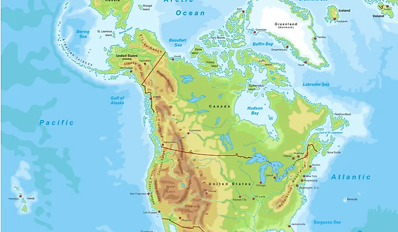
Physical map
7
This continent has no cities and is found at the very south of the earth
Antarctica
7
What is the time zone you live in?
Central
7
The average weather conditions in an area over a long period of time.
Climate
100
Which major landform have rocky soil on the west coast?
Rocky Mountains
100
What 2 major city is North of you?
Dallas, Houtson
100
Name a state that would be considered an island
Hawaii
100
How many bodies of water border the U.S.?
4
100
This line is also known as the 180o line
International Date Line
100
Give an example of how PHYSICAL GEOGRAPHY affects HUMAN GEOGRAPHY
go ahead...
100
100
Canal
100
100
a small drawing on a map that shows direction
100
What is physical geography?
Features on the earth that are made naturally
100
What continent do we live on?
North America
100
What is the time zone in California?
Pacific
100
What do we call a mapmaker?
A cartographer
400
400
low area between hills or mountains
400
400
Symbols
400
These lines run east and west but measure NORTH AND SOUTH
Latitude lines
400
These three oceans touch the United States
Pacific, Atlantic, and Arctic
400
DOUBLE JEOPARDY
How many time zones are in America?
400
What is the capital of Texas
Austin
500
500
isthmus
500
500
Scale, Key, Compass Rose, Title
500
How is physical geography different than human geography?
varied answer.
500
The country of Turkey exists on which two continents?
Europe and Asia
500
CST stands for?
Central Standard Time
500
How are physical and political maps different?
Physical map: features
political: city, states