Cartography
Relief
Coordinates
Part of a Map
Natural Disaster
100
What is the study and practice of making maps called?
cartography
100
What term describes the difference in elevation between the highest and lowest parts of an area?
is relief
100
What are the two main components used to define a location on Earth?
are latitude and longitude
100
What do you call the symbol that explains the meaning of the colors and symbols used on a map?
is a legend
100
What is an event caused by natural forces that can result in significant damage?
is a natural disaster
200
Which type of map shows physical features like mountains and valleys?
relief map
200
Which feature on a relief map indicates the steepness of the terrain?
are contour lines
200
What is the latitude of the equator
is 0 degrees
200
What are the four main directions called?
are the cardinal points
200
What natural disaster is measured using the Richter scale?
is an earthquake
300
What are the two main types of maps used in cartography?
physical maps and political maps
300
What type of relief feature is created by the movement of tectonic plates
a mountain range
300
How many degrees of latitude are there between the equator and the North Pole?
is 90 degrees
300
What part of a map indicates the orientation of the map?
is the compass rose
300
What type of disaster is associated with severe weather conditions and high winds?
is a hurricane
400
What is the purpose of a topographic map?
show elevation and landforms
400
What do you call a flat area at a high elevation?
is a plateau
400
COORDINATES OF JAPAN
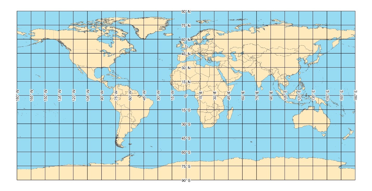
40° N - 135° E
400
Which part of the map shows the scale of the represented area?
is the scale bar
400
How can maps help in responding to natural disasters?
identifying evacuation routes and resource locations
500
What technology has revolutionized cartography in recent years
Geographic Information Systems (GIS
500
How can relief maps be useful in disaster preparedness?
showing areas at risk for flooding or landslides?
500
What is the significance of the Prime Meridian?
defines 0 degrees longitude
500
What is the purpose of a map's title?
is to indicate what the map represents
500
A mountain or hill, typically conical, having a crater or vent through which lava, rock fragments, hot vapour, and gas are or have been erupted from the earth's crust.
Is a Volcano