Geo Basics
Symbol Savvy
Direction Drills
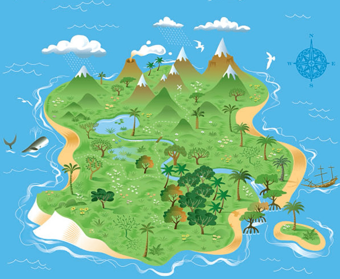
Feature Finds
Size Sense
100
The study of Earth and its physical characteristics.
A. Biology
B. Geography
C. Geology
B. Geography
100
Famous sites like the Statue of Liberty that help identify locations on maps.
A. Focal Points
B. Landmarks
C. Crossroads
B. Landmarks
100
North, East, South, and West are called this.
A. Up, Right, Down, and Left
B. Waypoint
C. Cardinal Directions
C. Cardinal Directions
100
One of the seven large landmasses on Earth.
A. Country
B. State
C. Continent
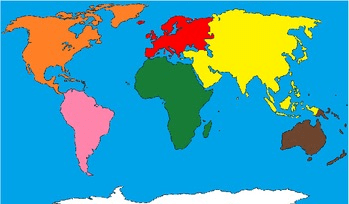
C. Continent
100
A way to show real distance on a map compared to the actual distance.
A. Scale
B. Ruler
C. Key
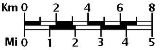
A. Scale
200
A visual representation of an area used for navigation.
A. Map
B. Legend
C. Scale
A. Map
200
A list that identifies patterns, symbols, or colors used in a chart.
A. Legend
B. Citation
C. Grid
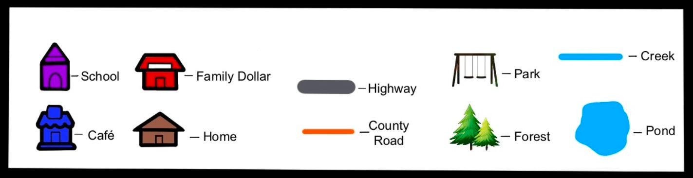
A. Legend
200
This mnemonic device helps remember the order of the cardinal directions on a compass rose.
A. "Please Excuse My Dear Aunt Sally"
B. "Never Eat Soggy Waffles"
C. "Roy G. Biv"
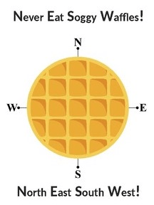
B. "Never Eat Soggy Waffles"
200
A large body of salt water.
A. Ocean
B. Pond
C. Lake
A. Ocean
200
A spherical map of the entire Earth.
A. Compass
B. Scroll
C. Globe
C. Globe
300
A diagram that shows directions.
A. Icon
B. Key
C. Compass Rose
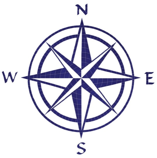
C. Compass Rose
300
What is often represented by this symbol on a map?
A. A River
B. A Hill
C. A Forest
A. A River
300
Points to the top of the world.
A. North
B. East
C. West
A. North
300
A piece of land completely surrounded by water.
A. Peninsula
B. Island
C. Valley
B. Island
300
A map scale is used to find this between locations.
A. Time
B. Distance
C. Mass
B. Distance
400
A type of map that depicts land features, like mountains and lakes.
A. Political Map
B. Topographic Map
C. Physical Map
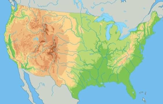
C. Physical Map
400
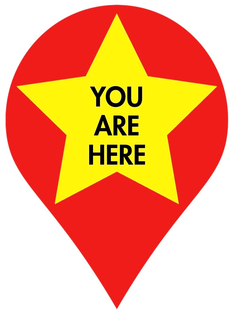
Typically marks your current location on a map.
A. Triangle
B. Circle
C. Star
C. Star
400
The sun always rises in this direction.
A. South
B. North
C. East
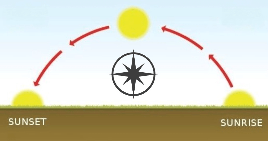
C. East
400
Dry, sandy regions, often illustrated in shades of tan on maps.
A. Tundra
B. Desert
C. Grassland
B. Desert
400
Inches or centimeters can be used to represent this unit of measurement on a map.
A. Weight
B. Speed
C. Miles
C. Miles
500
This type of map displays the names of countries and their borders.
A. Political Map
B. Road Map
C. Physical Map
A. Political Map
500
Maps frequently use dashed or solid lines to represent these man-made pathways.
A. Lakes
B. Roads/Highways
C. Parking Lots

B. Roads/Highways
500
When facing the rising sun, this is behind you.
A. East
B. West
C. North
B. West
500
A landform surrounded by water on three sides.
A. Plateau
B. Archipelago
C. Peninsula
C. Peninsula
500
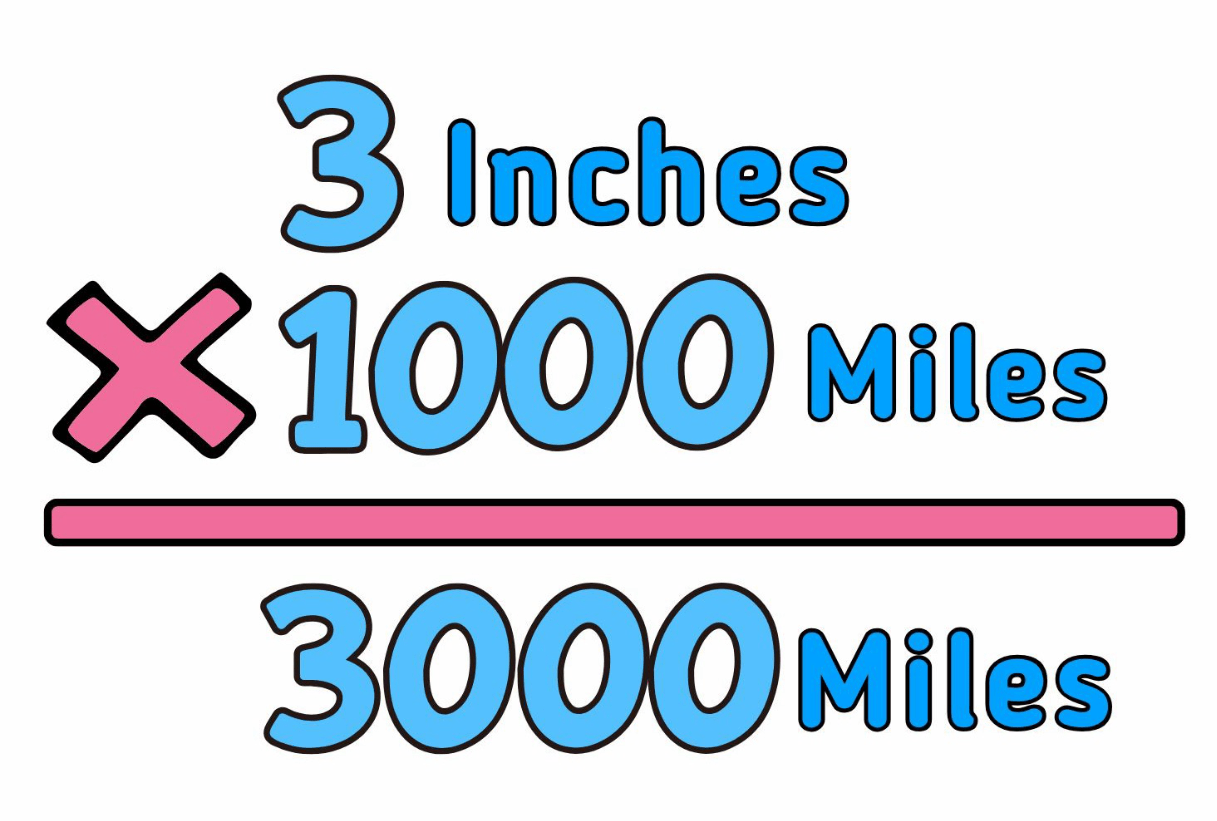
If a map scale shows that 1 inch equals 1,000 miles, and your trip measures 3 inches, how far will you travel?
A. 3,000 Miles
B. 3 Miles
C. 300 Miles
A. 3,000 Miles