A
B
C
D
E
100
What does a scale measure on a map?
Distance
100
Shows Earth's surface as a sphere as if viewing from outer space.
Globe
100
Name the cardinal directions
North, South, East, West
100
An imaginary line of latitude dividing the northern hemisphere from the southern hemisphere.
Equator
100
True Or False...Two different days on Earth can be only 1 mile apart in distance.
True
200
What box has symbols that are used on the map?
Legend
200
What does a political map show?
country/state borders, city boundaries and names
200
A professional mapmaker
Cartographer
200
An imaginary line of longitude dividing the eastern hemisphere from the western hemisphere.
Prime Meridian
200
Vertical lines that measure the earth from 0 - 180 degrees.
Lines of Longitude
300
What is this called? 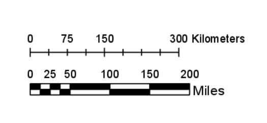
A scale
300
This type of map shows landforms like deserts, mountains, plains, rivers, and lakes.
Topographic maps
300
What is a way we can love others and exercise dominion with the use of maps?
Mapping out diseases to prevent spread, planning emergency response help, mapping out natural disaster areas (like earthquake zones)
300
How do you know what the map you are looking at represents?
The Title
300
Horizontal Lines that measure the earth from 0-90 degrees in the Northern and Southern Hemispheres
Lines of Latitude
400
What is one example of a GIS system?
Google Earth
400
A type of map that shows which states the presidential nominees won, areas that have disease outbreaks, or regions with earthquakes.
Thematic maps
400
GIS organizes data into _________ so we can add or remove information as we need.
layers
400
Give one of the three ways people as far back as before Jesus' time knew the Earth was a sphere.
Star locations changed at certain times of year
Ships disappeared at sea as they crossed the horizon
The earth's shadow on the moon was round during a lunar eclipse
400
The line that divides the Earth into two separate days
International Date Line
500
This term is used to describe a tilted view of a map that makes a distorted image
Oblique Map
500
The False cylindrical projection map that was designed specifically for classrooms in America.
The Robinson map
500
This map feature will help me locate places easily by using latitude and longitude lines.
coordinate grid
500
Name 2 of the 3 ways data is collected for GIS systems.
Remote Sensing, Acoustical Sensing, Surveying
500
What gives us a precise location on earth using degrees, minutes, and seconds?
Geographic Coordinates