Map Features
Types of maps
Directions please
Lat vs Long
Potpourri
100
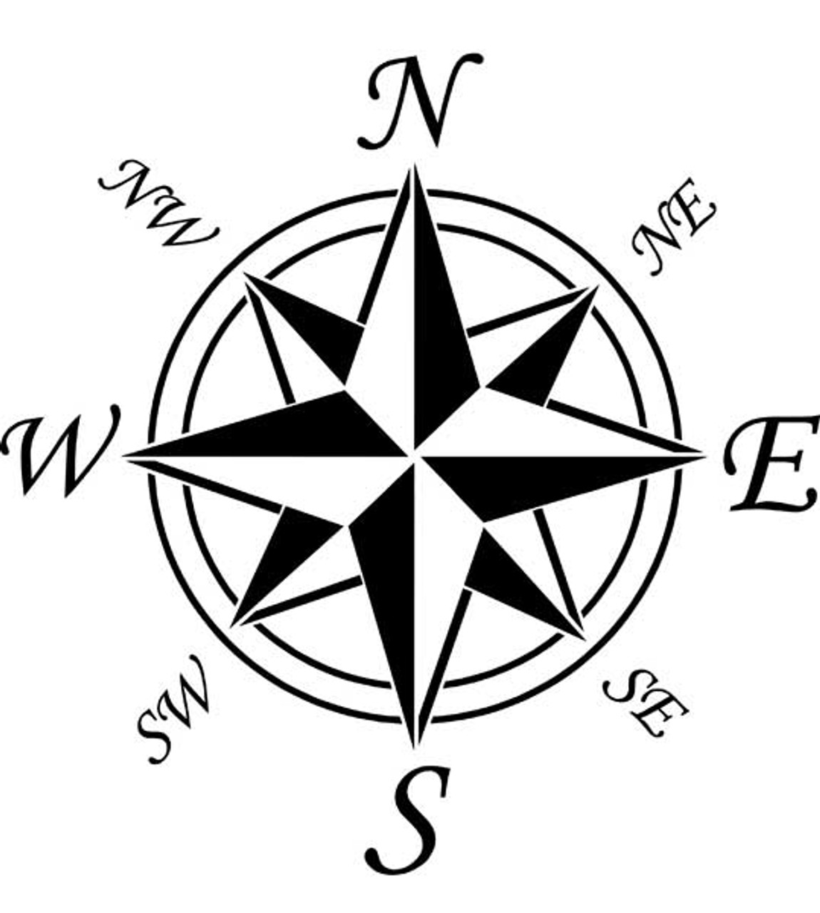 What is this image called?
Compass Rose
100
This type of map is used to show mountains, lakes, deserts, etc.
physical map
100
Name the cardinal directions
North, South, East, West
100
The line that runs 0° Latitude, cutting the earth in half.
Equator
100
There are 7 ________ .
continents
200
What box has symbols use on a map?
Map Key (or Legend)
200
What does a political map show?
country/state borders, city boundaries and names
200
Which continent is west of Europe?
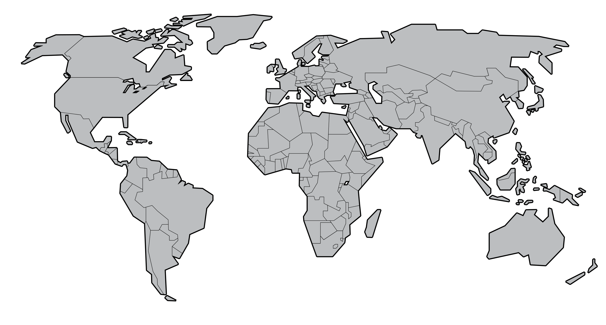
North America
200
lines that measure north or south of the equator
lines of Latitude
200
An instrument that provides direction
compass rose
300
What is this called? 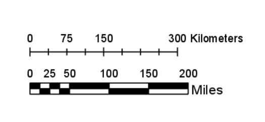
A scale
300
What kind of map would I use if I wanted to find the closest rainforest?
Physical Map
300
lines that measure east or west of prime meridian
lines of longitude
300
The line that runs 0° Longitude, cutting the earth in half.
prime meridian
300
How many oceans are there?
5 oceans
400
What does a scale measure on a map?
Distance
400
What kind of map would I use if I wanted to find out where North Carolina and Virginia meet?
Political Map
400
imaginary line of longitude that divides the earth into eastern and western hemisphere
Prime Meridian
400
Climate zones are determined by lines of...
Latitude
400
a map that shows how many people live in a particular place
population map
500
How do you know the type of map you are looking at represents?
The Title
500
East and West lines on a map or globe are called
parallel lines
500
Which direction would you travel to go from North America To Asia on a cylindric map?
East
500
The symbol 'o' indicates
degrees
500
a map that shows routes between towns and cities
Street Map