Map Elements
Types of maps
Directions please
Countries
Continents
100
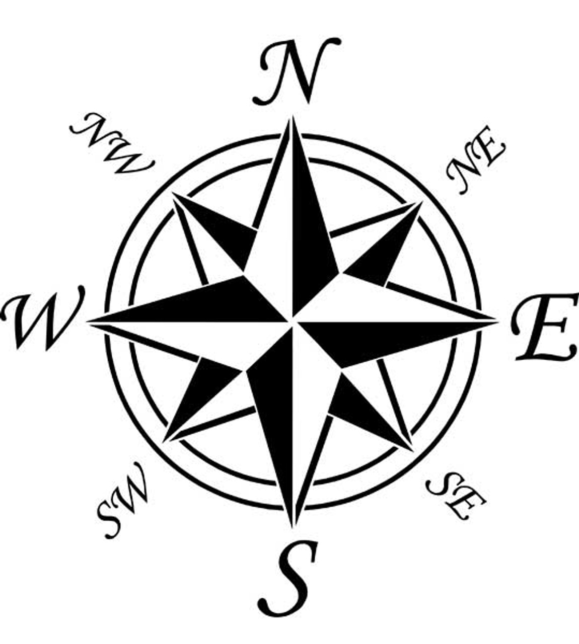 What is this image called?
Compass Rose
100
This type of map is used to show mountains, lakes, deserts, etc.
A: Physical Map
B: Political Map
physical map
100
Name the cardinal directions
North, South, East, West
100
Norwich is located in this country
USA
100
Name three continents
200
What box has symbols use on a map?
Map Key (or Legend)
200
What does a political map show?
country/state borders, city boundaries and names
200
Which continent is south of North America?
South America
200
Tokyo is located in this country.
Japan
200
Name 2 countries is on the northeast border India.
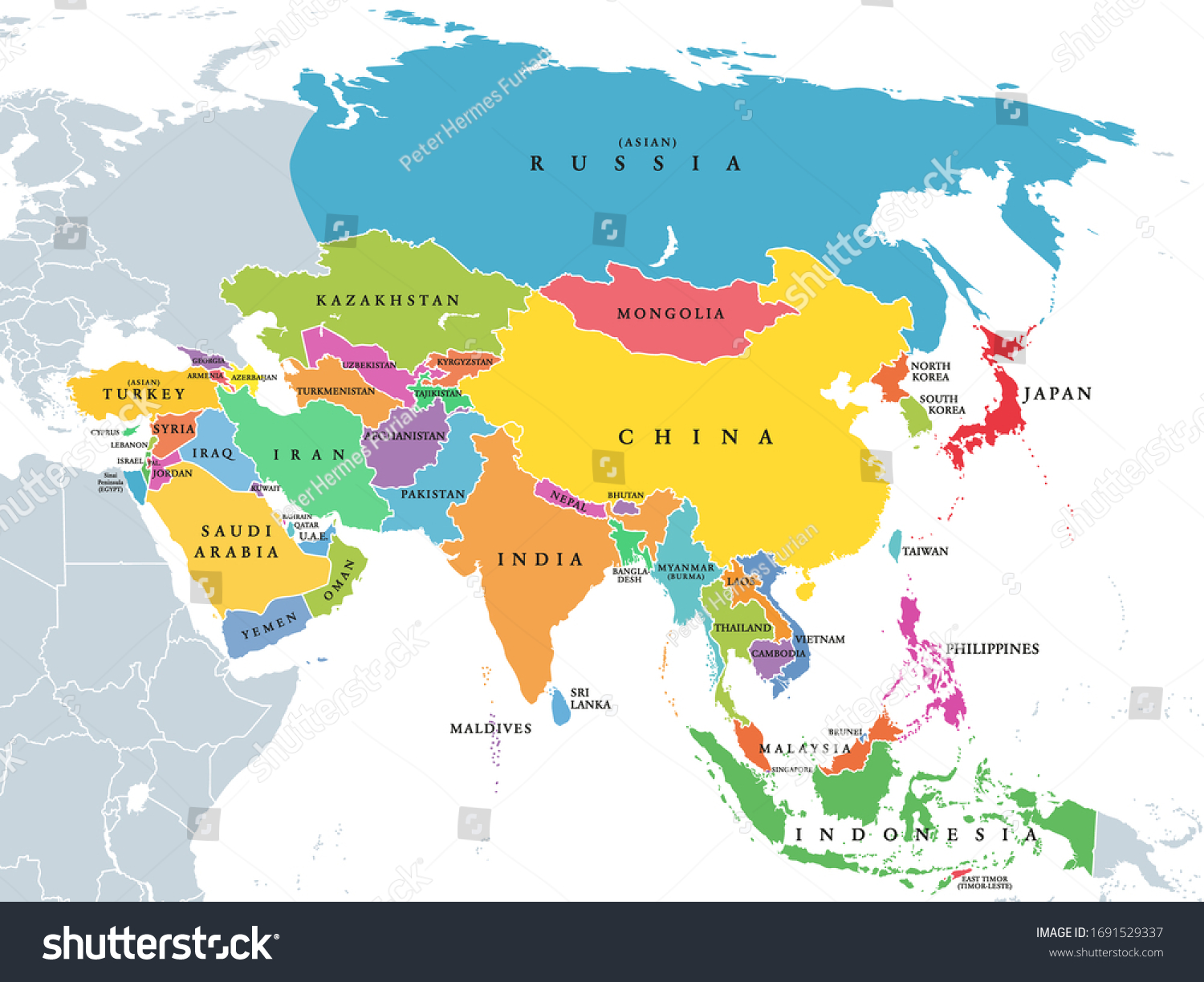
Nepal and China
300
What is this called? 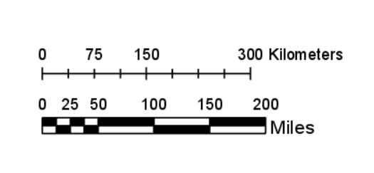
A scale
300
What kind of map is this?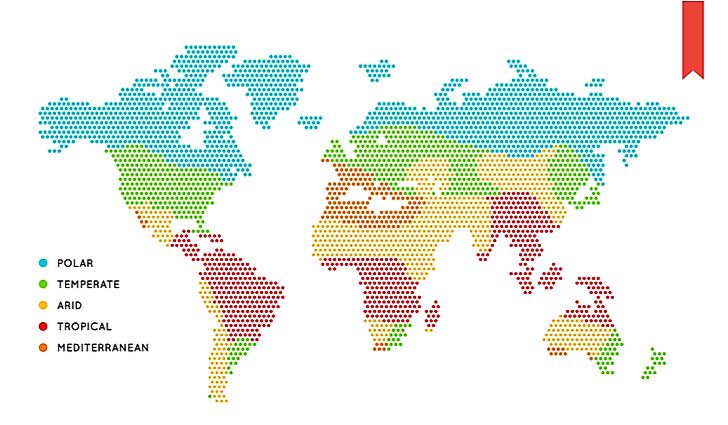
Climate map
300
What continent is south of Africa?
Antarctica
300
This country is directly south of the USA.
Mexico
300
-- BONUS QUESTION --
Each group must list as many countries as possible within five minutes. Each correct response is 100 points.
400
What does a scale measure on a map?
Distance
400
 What does a population density map show you?
It shows you how many people there are in a given area.
400
Solna is _____ of Stockholm 
Northwest
400
This country is directly north of USA.
Canada
400
The south Asia subcontinent is bordered by this mountainous region.
The Himalayas
500
This is someone who makes maps.
Cartographer
500
Give 3 examples of special purpose maps
climate, population, physical, political many more
500
If you are facing a rising sun, what cardinal direction is to your left? (Hint: The sun rises in the east)
North
500
Name a country that is known to be densely populated.
500
Which country is in both Asia and Europe?
Russia