Terrain Features
Contour Lines
Terrain Identification
100
Which terrain feature is described as a point or area of high ground where elevation decreases in all directions.
A Hill.
100
What is a contour line?
A contour line is a line on a map that connects points of equal elevation, showing the shape and height of the land’s surface.
100
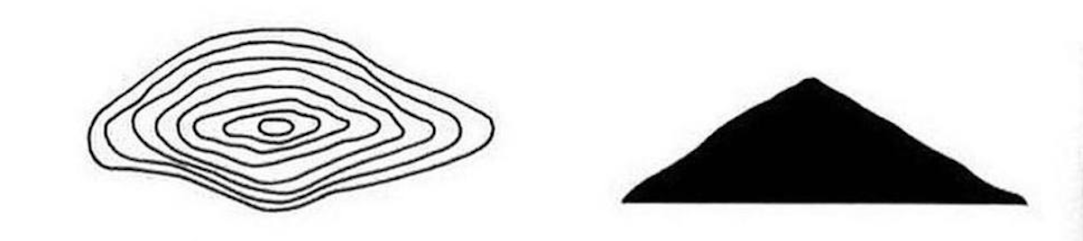
Identify this major terrain feature.
Hill.
200
Which terrain feature is described as a man-made feature where ground has been removed to form a passage, such as along a road or railroad.
A cut.
200
What do closer spaced contour lines represent on a topographic map?
Steeper Slope
200
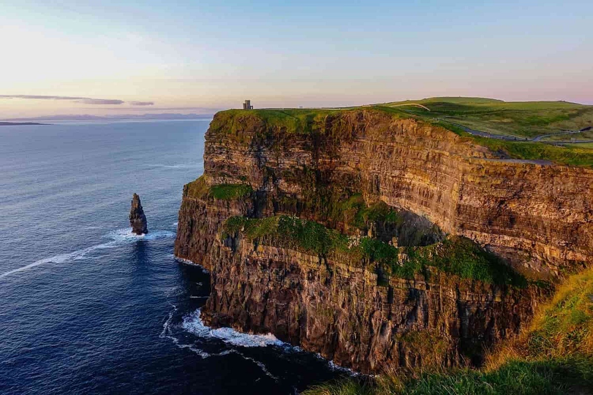
What terrain feature is this?
A cliff.
300
Name both supplementary terrain features.
Cut and Fill
300

What is the highest point on this hill?
325 Feet
300
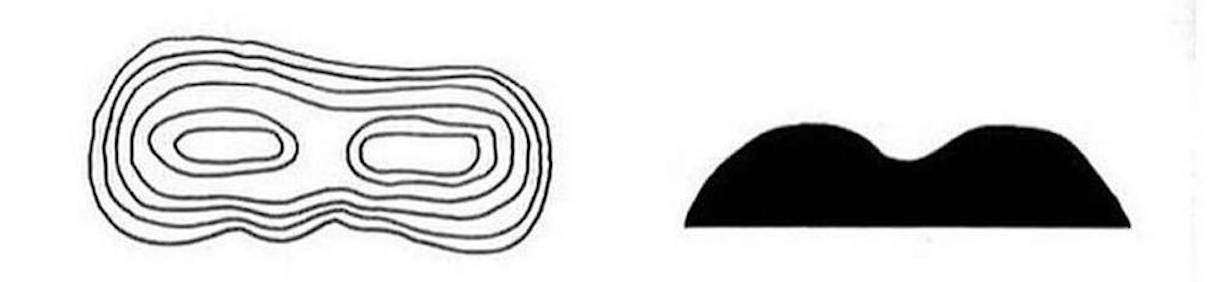
Identify this Terrain Feature
Saddle
400
Name all 3 minor terrain features.
Cliff, Spur, and Draw
400
What are the three types of contour line?
Index Contour, Intermediate Contour and Supplementary
400

Which terrain feature is this?
A cut.
500
Name all 5 major terrain features.
Hill, Valley, Ridge, Saddle, Depression
500

What is the change in elevation represented by each intermediate contour line?
40 feet
500

What terrain feature is this?
A spur.