Map Tools
Latitude and Longitude
Physical Features
Political Features
Types of Maps
100
Explain the difference between a map and a globe.
A map is a drawing of the Earth on a flat surface, and a globe is a model of the Earth and is round.
100
Which number correctly identifies the North Pole?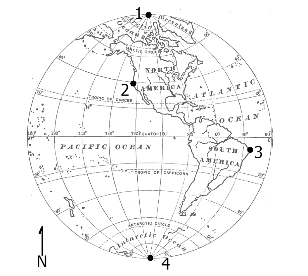
1
100
Which geographical feature rises sharply and is flat on top?
plateau
100
Name 5 political features.
Responses will vary.
100
What is the purpose of a physical map? What does it show?
to show the geographical features of an area
200
Name the cardinal and intermediate directions.
cardinal - north, south, east, and west
intermediate - northeast, southeast, southwest, and northwest
200
Name the two imaginary lines that create the Earth's hemispheres.
Equator and Prime Meridian
200
Which physical feature is a natural, bowl-shaped depression on the Earth's surface?
basin
200
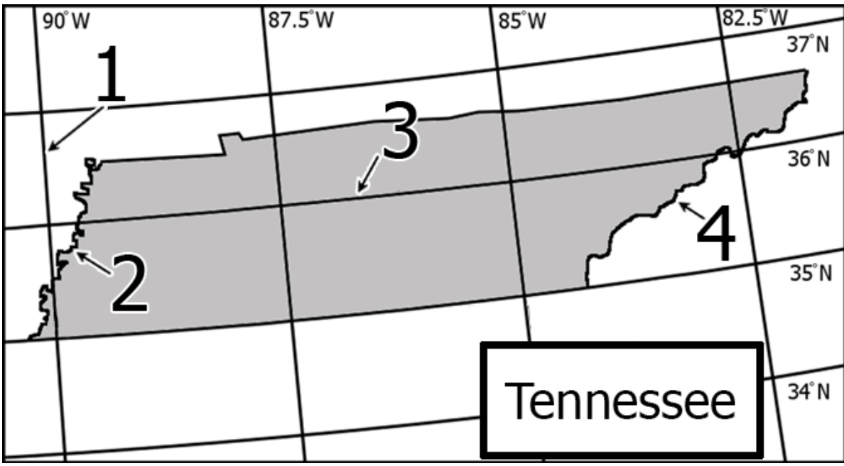
Which political feature can be shown on this map?
political boundaries
200
What is the purpose of a political map? What does it show? How can it be useful?
it shows political features; responses will vary
300
Name 3 map tools and their purposes.
Compass Rose - shows directions
Map Key - shows what the symbols represent
Map Scale - used to measure distance
Map Title - tells what the map shows
Map Grid - helps to find the exact location of a place using coordinates
300
Which number correctly identifies a line of latitude?
3
300
Explain the difference between an island and a peninsula.
An island is completely surrounded by water, and a peninsula is surrounded on three sides by water.
300
How is this map useful?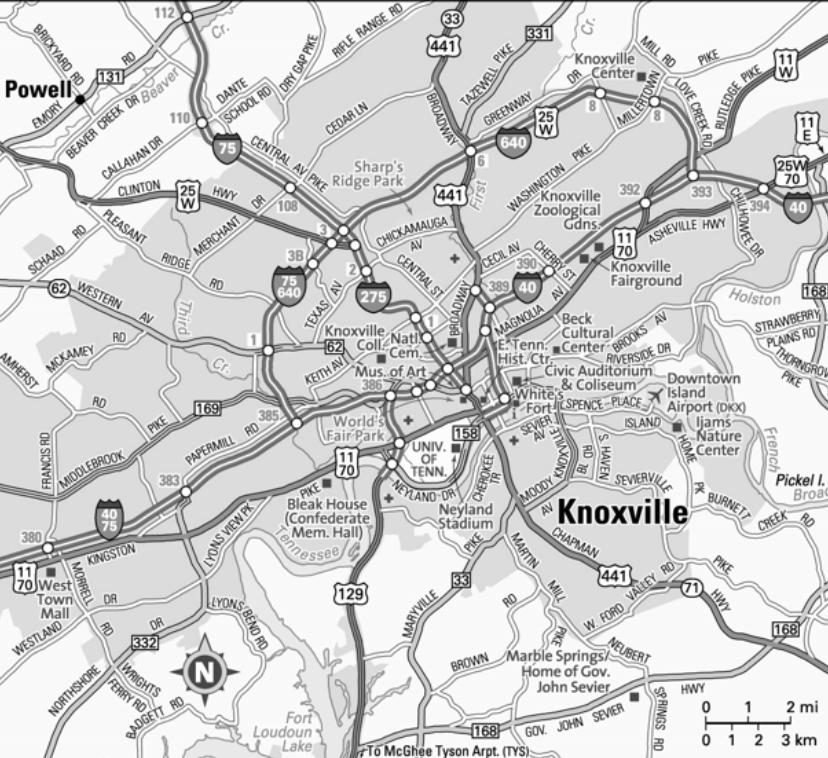
It shows the roads used to travel through the area.
300
What is the purpose of a climate map? What does it show? How can it be useful?
to show the climate of an area - usually the average temperature or rainfall of an area; responses will vary
400
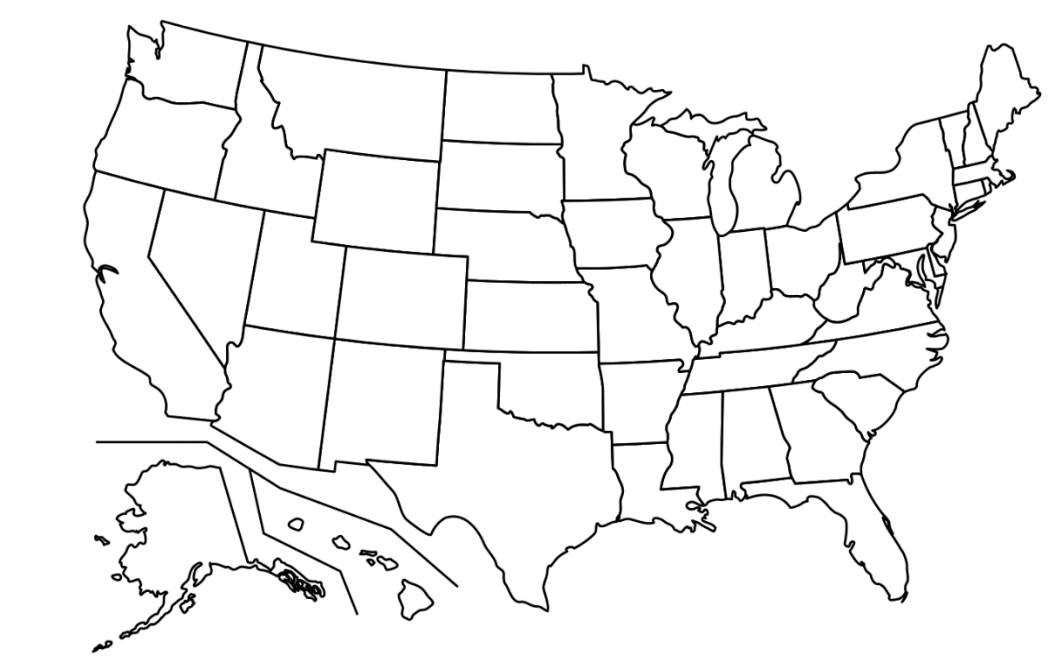
Which city is located on the east coast of the United States?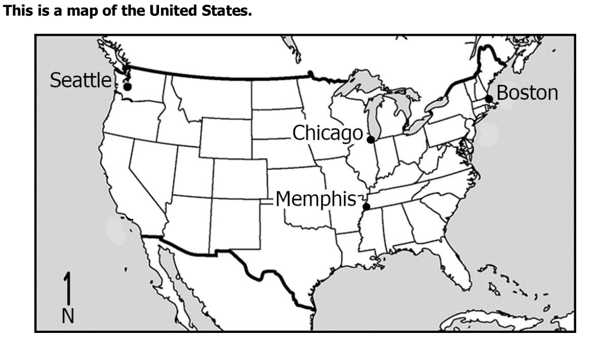
Boston
400
Which column best describes the Prime Meridian?
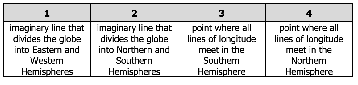
1
400
Explain what a delta is.
Where the river splits into many small streams at its mouth.
400
Which political feature, other than boundaries, can be seen on this map?
cities
400
What is the purpose of a population map? What does it show? How can it be useful?
to show how many people live in an area; responses will vary
500
Based on this map, Denver, Colorado is located in which gridded region of the map?
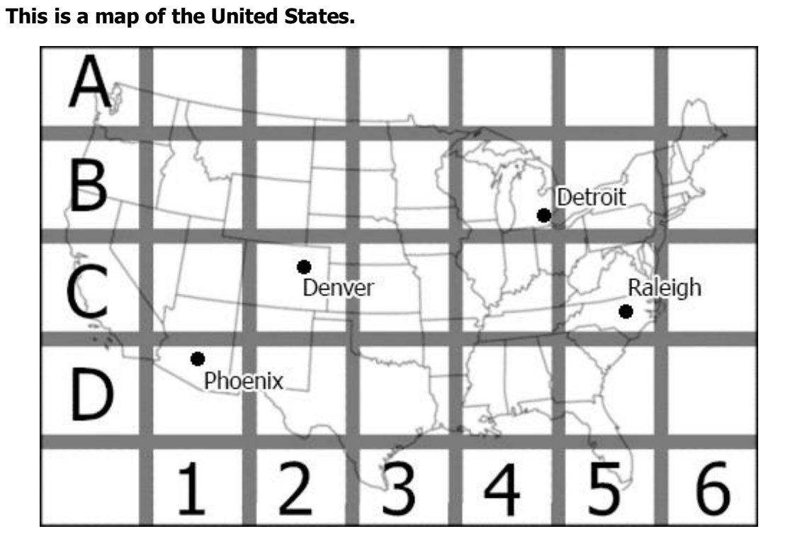
C2
500
How are lines of latitude and longitude measured?
Latitude - north or south of the Equator
Longitude - east or west of the Prime Meridian
500
Explain the difference between an isthmus and a strait.
An isthmus connects two larger areas of land and a strait connects two larger bodies of water.
500
How are political features different from physical features?
Physical features are natural geographic characteristics of Earth. Political features are characteristics of Earth that are related to governments.
500
What is the purpose of a resource map? What does it show? How can it be useful?
to show what natural resources are available in an area; responses will vary