This is the largest country in SSEA by size and population.
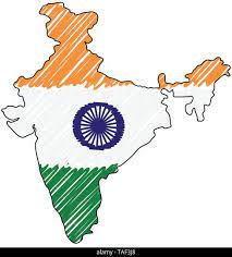
India!
This river flows from the Himalaya mountains across northern India and Bangladesh.
Ganges!
Definition: Low-lying areas with steep cliffs or hills on both sides
River Valley
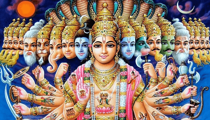
What is the most common religion in India?
Hinduism
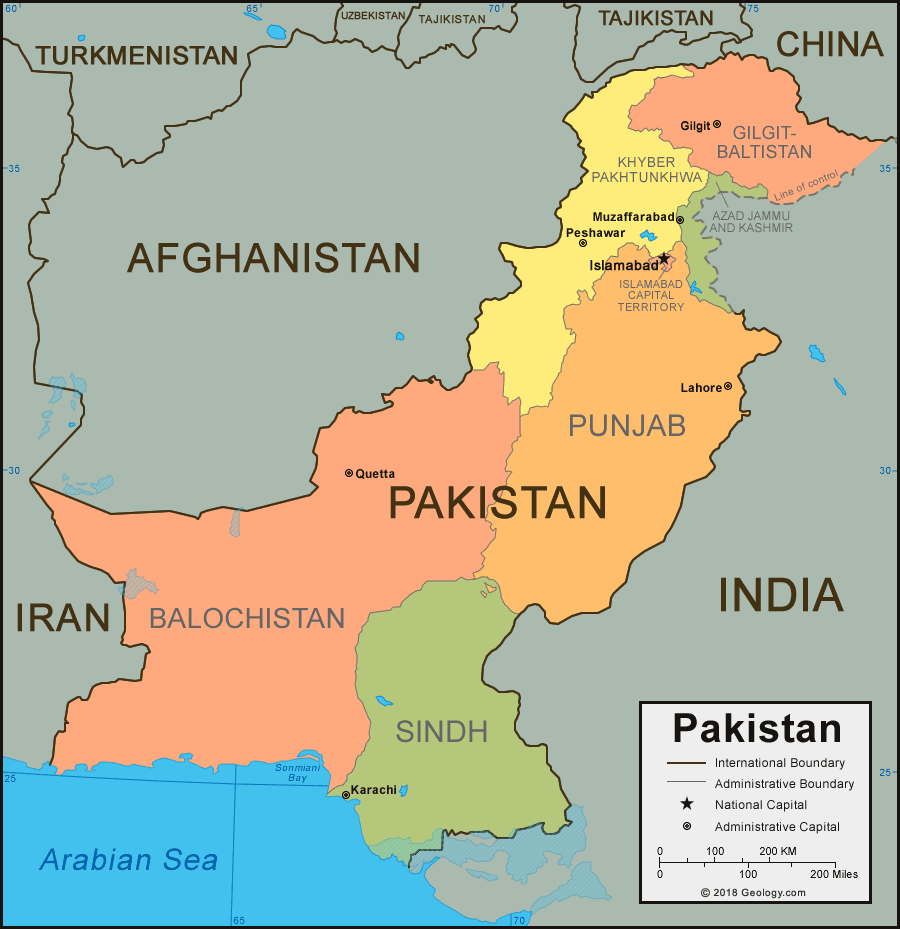
This country borders the northwestern side of India.
Pakistan!
This mountain range runs through Nepal, Bhutan, India, China, and Pakistan.
Himalayas!
Definition: Low-lying wetlands very similary to swamps
Marsh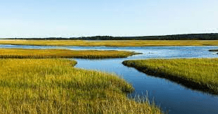
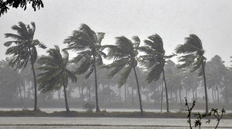
What is the most common climate across South & Southeast Asia?
Tropical Wet or Monsoon
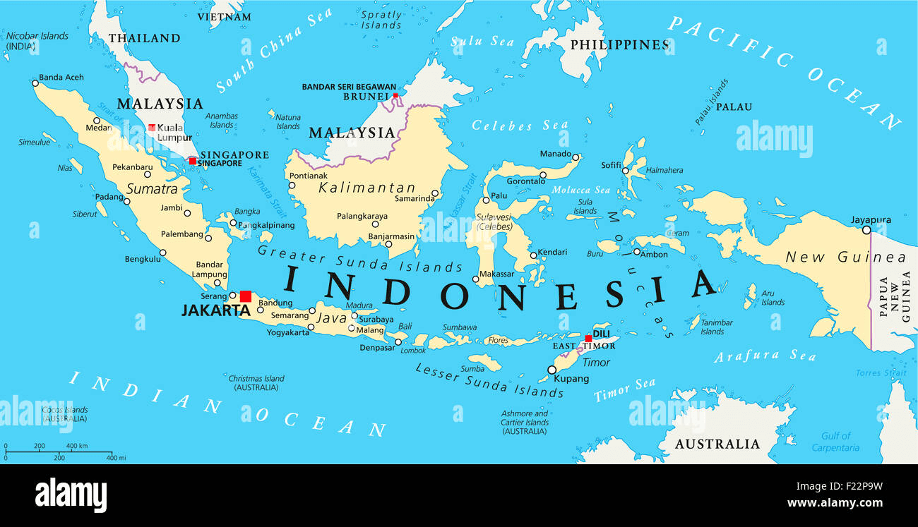
This country is made up of over 17,000 different islands stretching from the Indian Ocean out to the Pacific Ocean.
Indonesia
This river runs through Pakistan and flows into the Arabian Sea.
Indus River
Definition: Seasonal winds and rainse in the Indian Ocean
Monsoon
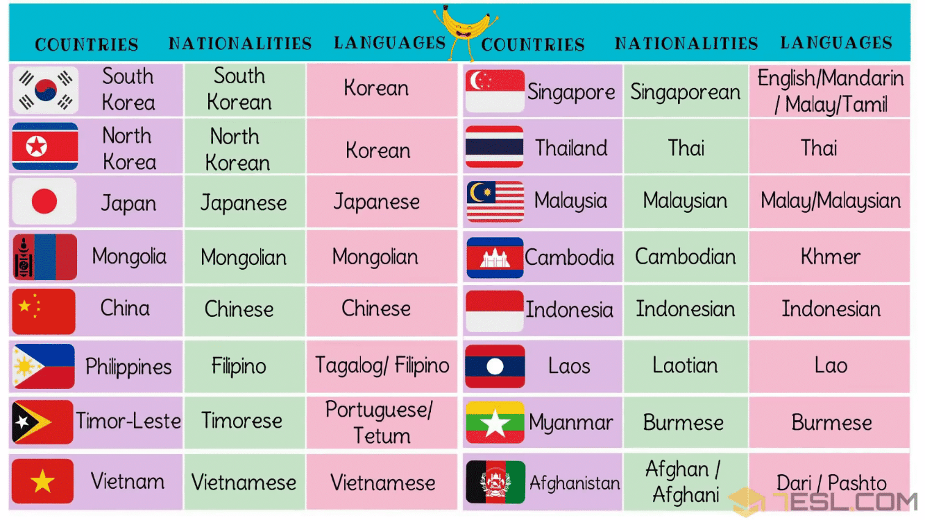
True or False:
The countries of S.S.E.A. all speak one similar language.
False!
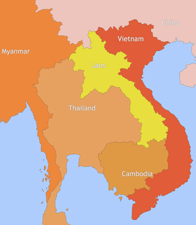
This country borders Myanmar, Laos, and Cambodia.
Thailand!
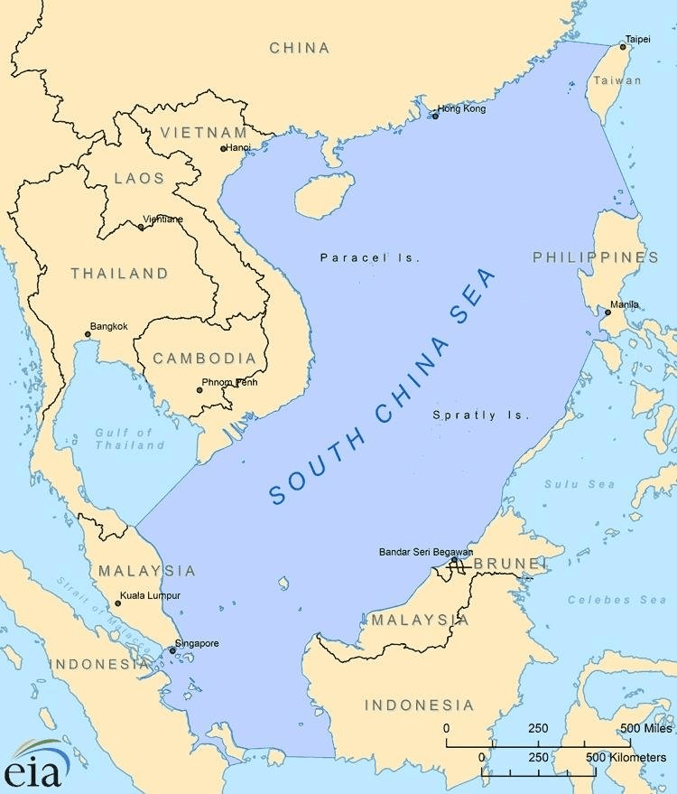
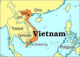
This body of water is located east of Vietnam and west of the Philippines.
South China Sea
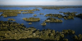
Definition: A group of closely scattered islands
Archipelago
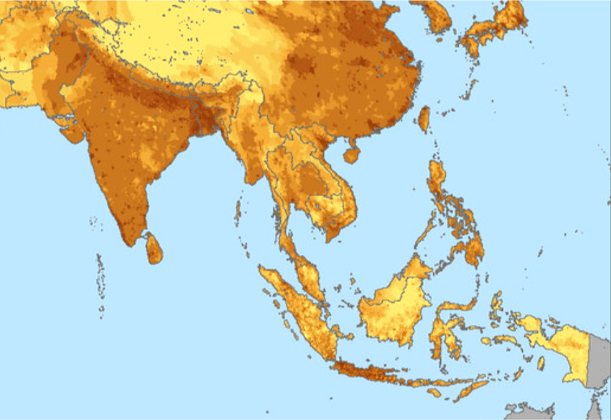
True or False:
Southeast Asia has an overall higher population density than South Asia.
FALSE
This country is located east of Laos and Cambodia and runs along the South China Sea.
Vietnam!
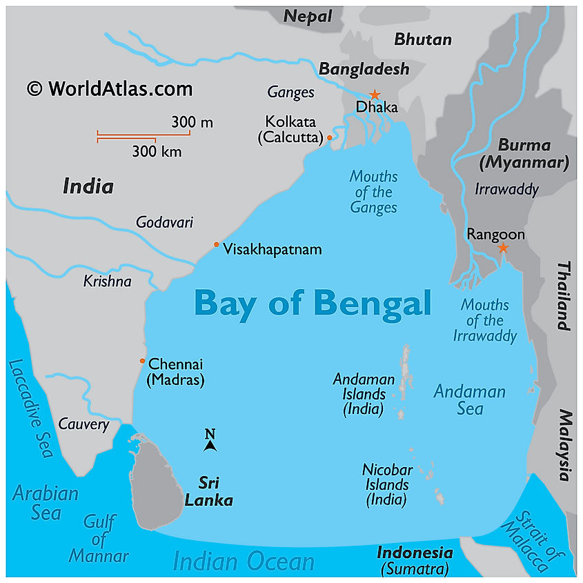
This body of water is located northeast of Sri Lanka and is where the Ganges River delta empties into.
Bay of Bengal
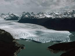
Definition: A large mass of snow and ice located in polar climates
Glacier
How would you best describe the region of SSEA
What is a region of both mainland and island countries with diverse cultures across one continent.